Real weather events

Explore 78 documented events through weather records and satellite imagery.

78 entries
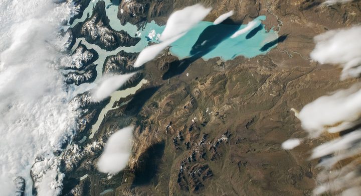
Several smooth white clouds cast long dark shadows over turquoise Lago Argentino and the brown Patagonian landscape.Event image
South America · 2025

Lago Argentino: reading a cloud with incomplete evidence

An astronaut photographed narrow, fish-shaped clouds over Lago Argentino.

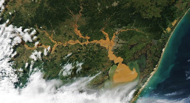
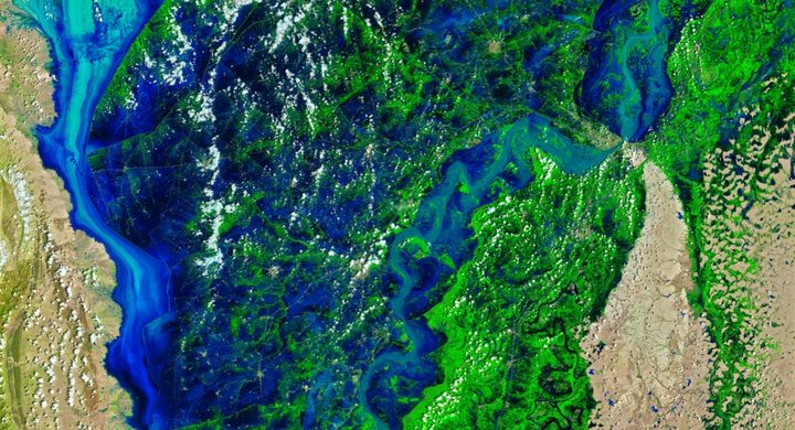
Satellite view of expanded waterways near Porto Alegre during the May 2024 flooding.Event image
South America · 2024

Repeated rain over Rio Grande do Sul

Recurrent heavy rain affected southern Brazil while atmospheric moisture continued arriving from the north.

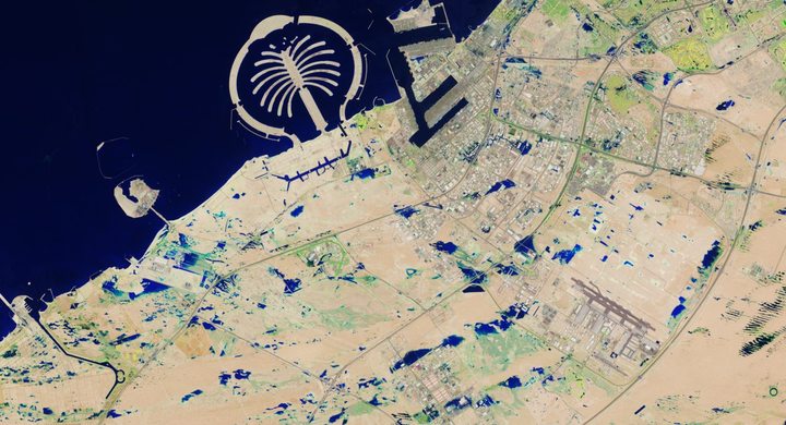
This Landsat 9 false-color scene shows water in blue around Jebel Ali on 19 April 2024, three days after the heaviest rain.After the event
Asia · 2024

The UAE deluge: intense rain on an arid landscape

An April 2024 storm sequence crossed Oman and the United Arab Emirates, producing exceptional rainfall and widespread pooling of water.

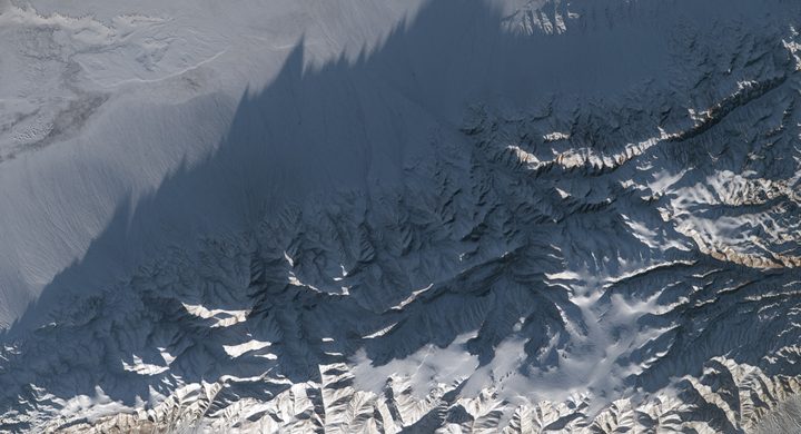
Snow-covered ridges of Mongolia’s Gobi Altai mountains cast long blue-gray shadows across the adjacent snowy steppe.Context image
Asia · 2024

Mongolia: when snow and ice block the pasture

The 2023–24 dzud was a prolonged combination of weather and vulnerability.

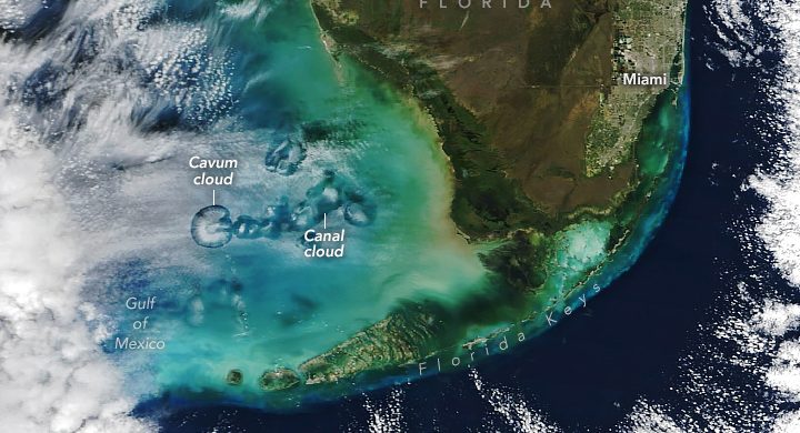
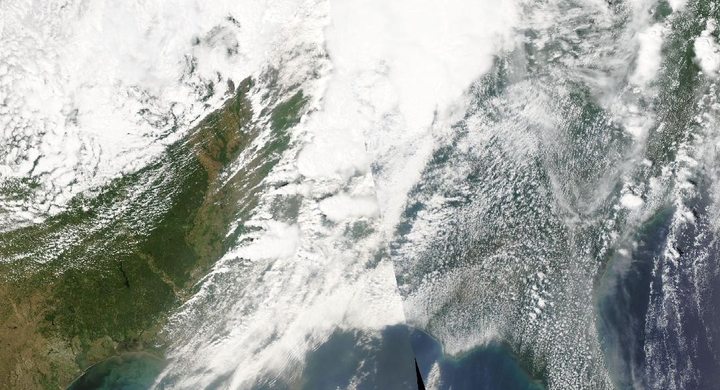
Terra MODIS view of southern Florida with circular cloud holes and an elongated canal cloud over the sea west of the coast; original NASA labels identify the features.Event image
North America · 2024

Florida: holes open in a cloud layer

A Terra satellite view recorded rounded holes and an elongated channel in clouds west of Florida.

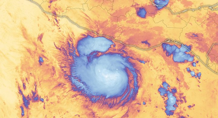
A false-color NOAA-20 VIIRS view at about 08:30 UTC on 24 October 2023 shows Otis offshore before its rapid intensification and landfall.Event image
North America · 2023

Otis: a short approach with extraordinary strengthening

Otis changed from a relatively modest tropical storm into an extreme hurricane during its final approach to Acapulco.

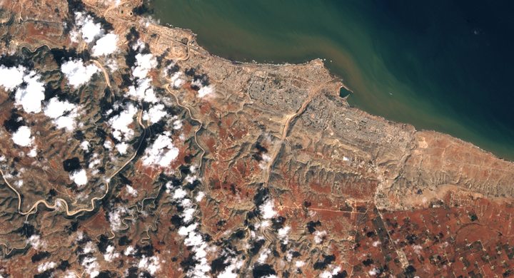
Landsat 9 captured eroded banks along Wadi Derna near the Mediterranean on 18 September 2023, a week after Storm Daniel.After the event
Africa · 2023

Daniel in Libya: rainfall, runoff and a cascading flood

Storm Daniel brought extraordinary rain to northeastern Libya after affecting the eastern Mediterranean.

Aqua MODIS satellite view of the study region on 24 March 2023.Context image
North America · 2023

Rolling Fork: the survey improved after the storm ended

A violent nighttime tornado crossed Rolling Fork and Silver City during a broader severe-weather episode.

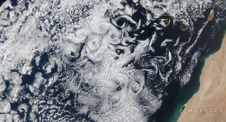
Suomi NPP VIIRS satellite view showing three swirling cloud wakes trailing from the Canary Islands over the Atlantic, with the northwest African coast at right.Event image
Atlantic and Africa · 2023

Canary Islands: clouds trace the island wakes

Three trails of cloud swirls appeared downwind of the Canary Islands in a Suomi NPP image.

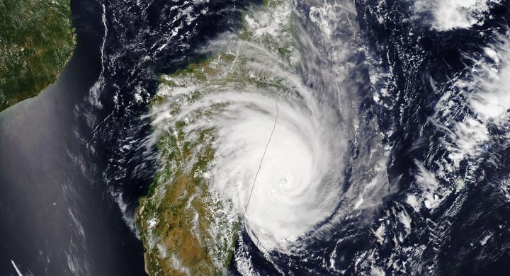
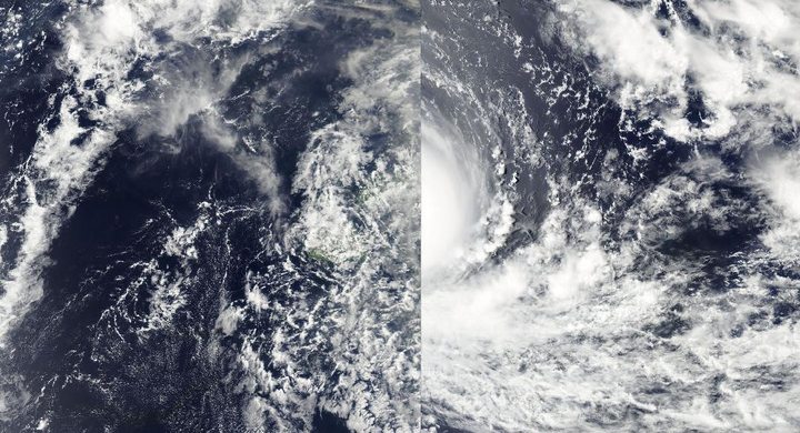
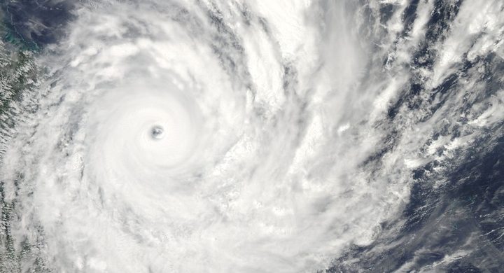
NOAA-20 VIIRS captured Freddy just east of Madagascar at 10:50 UTC on 21 February 2023, hours before its first landfall.Event image
Africa · 2023

Freddy: a returning cyclone prolongs the rain

Freddy crossed the Indian Ocean and reached Madagascar, then Mozambique, before returning to the channel and striking Mozambique again.

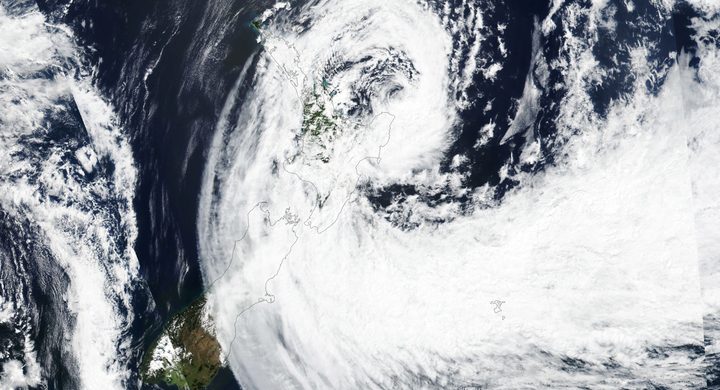
A broad spiral of white cloud surrounds New Zealand’s North Island and extends across much of the country, with coastline outlines retained.Event image
Oceania · 2023

Gabrielle after the tropical label

Gabrielle passed near the North Island after losing its purely tropical structure, bringing intense rain, wind and coastal effects.

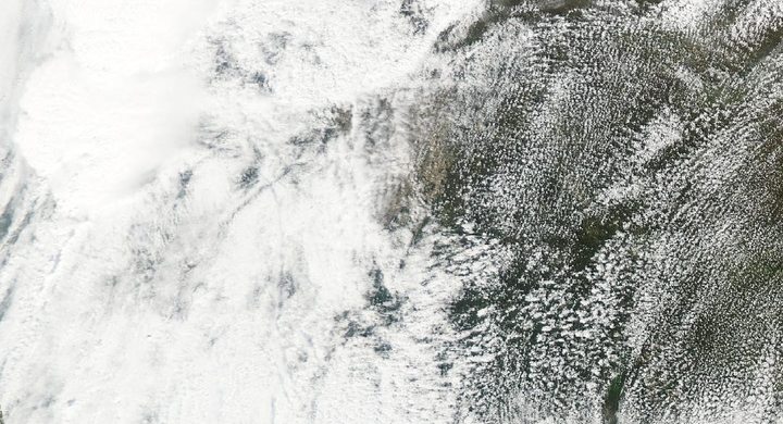
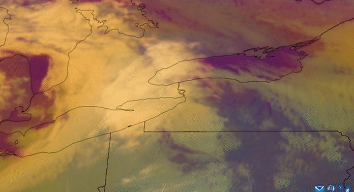
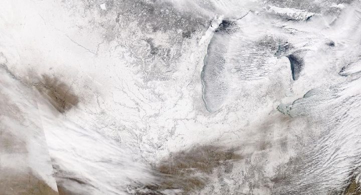
False-colour satellite composite over the Great Lakes and northeastern United States.Event image
North America · 2022

A narrow band makes a very uneven snowstorm

Cold air crossing a relatively warm lake produced intense, persistent snowbands around Buffalo.

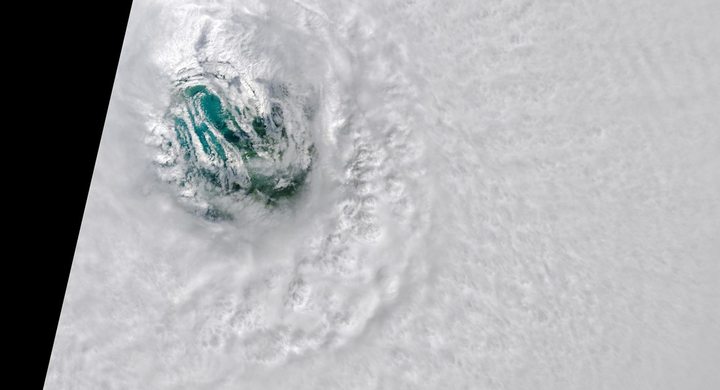
Landsat 8 captured this natural-color view of Ian’s eye at 15:57 UTC on 28 September 2022, before it made landfall in southwest Florida.Event image
North America · 2022

Ian: separate landfalls, separate coastal exposures

Ian strengthened in the Caribbean, crossed western Cuba, expanded over the Gulf and struck southwestern Florida.

False-color Landsat image of the lower Indus region, with extensive dark blue floodwater spreading between green fields and river channels.Event image
Asia · 2022

An exceptional monsoon month is not one storm

Pakistan’s August 2022 rainfall was exceptionally high, especially in southern provinces.

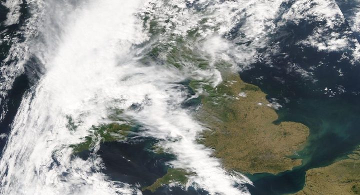
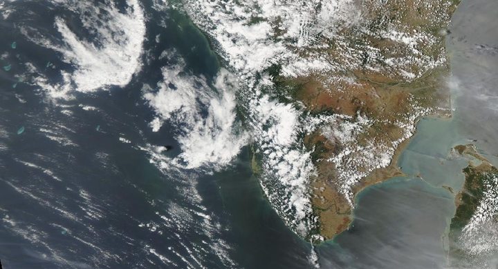
Natural-colour satellite view with clear skies over central and eastern England and widespread cloud across areas to the west.Event image
Europe · 2022

The day 40°C arrived in Britain

Hot air arriving from continental Europe combined with summer sunshine and a favorable pressure pattern.

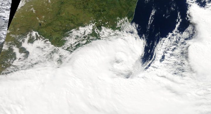
Natural-colour satellite view of dense coastal cloud over southeastern South Africa and the Indian Ocean.Event image
Africa · 2022

Durban: a cut-off low and persistent coastal rain

Exceptional rain affected the Durban region beneath an upper-air cut-off low and a moist coastal flow.

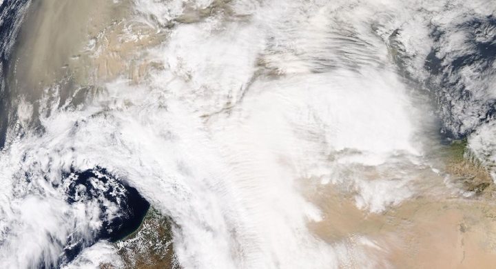
Aqua MODIS captured the skies over the western Mediterranean on 15 March 2022 during the Saharan dust episode.Event image
Europe and Africa · 2022

Saharan dust over Europe: a plume is not a surface reading

Strong southerly transport carried Saharan dust across the Mediterranean in March 2022, producing conspicuous haze over Spain and beyond.

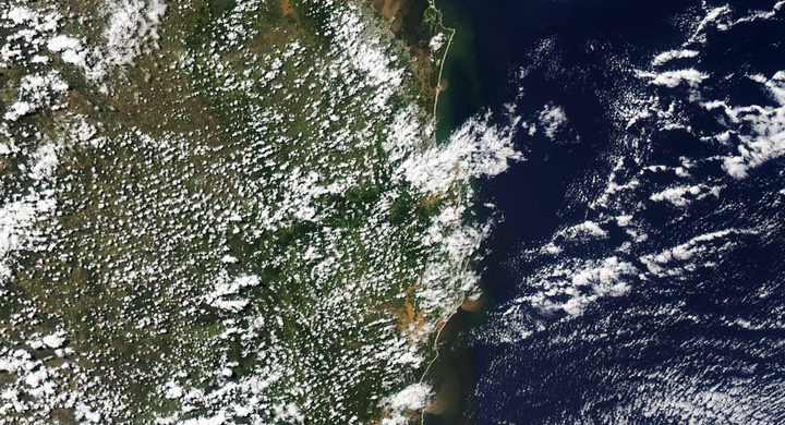
Natural-color satellite view of eastern Australia’s coast, with brown sediment plumes at river mouths and scattered white cloud obscuring parts of the land.Event image
Australia · 2022

An east-coast trough that lingered

A sequence of slow-moving weather systems supplied coastal eastern Australia with persistent rain.

Aqua MODIS satellite view of the study region on 15 December 2021.Context image
North America · 2021

December 2021: thunderstorm winds and background winds overlapped

This unusual December episode combined warm air, a rapidly moving storm system, tornadoes, a derecho and damaging winds outside thunderstorms.

Aqua MODIS satellite view of the study region on 10 December 2021.Context image
North America · 2021

Western Kentucky: a long-track tornado in December

A powerful December storm system produced an overnight tornado outbreak across the central United States.

Aqua MODIS satellite view of the study region on 14 August 2021.Context image
Arctic · 2021

Rain reaches Greenland’s Summit Station

Observers at Greenland’s high Summit Station reported rain on 14 August 2021 while instruments recorded above-freezing air.

Aqua MODIS satellite view of the study region on 26 July 2021.Context image
Asia · 2021

Zhengzhou: an extreme hour within a longer rain event

Henan’s July 2021 rainfall combined a prolonged regional event with an exceptionally intense hour at Zhengzhou.

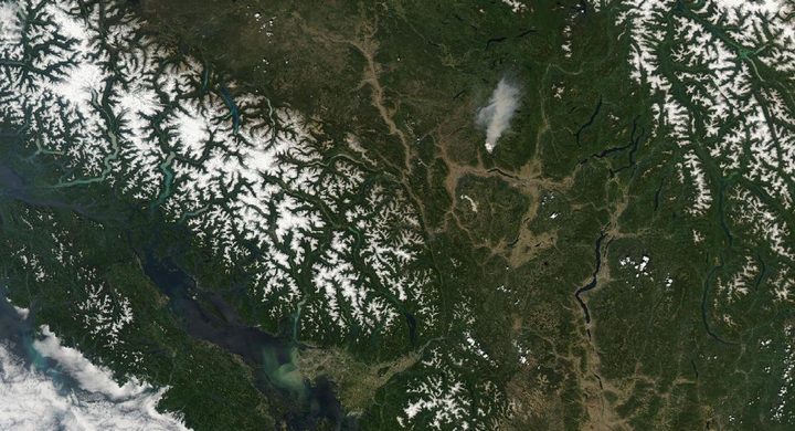
Natural-colour satellite view of coastal and interior British Columbia, snow on the highest ridges, and mostly clear skies inland.Event image
North America · 2021

Heat beyond the familiar record

An unusually strong atmospheric ridge accompanied extraordinary heat across a normally much milder region.

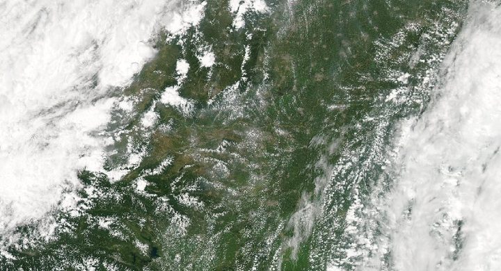
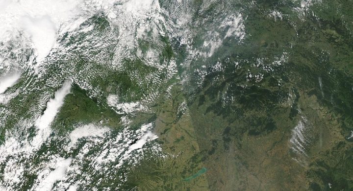
Aqua MODIS satellite view of the study region on 24 June 2021.Context image
Europe · 2021

South Moravia: rebuilding a tornado track from many kinds of evidence

A violent tornado crossed southeastern Czechia on 24 June 2021.

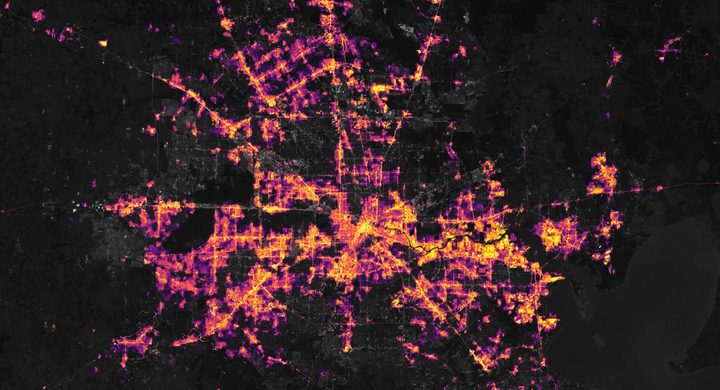
Processed nighttime satellite view of Houston, with bright yellow and magenta light patterns over a dark Landsat background during the February 2021 power outages.Event image
North America · 2021

One outbreak, several kinds of ice

An Arctic air mass spread unusually far south, followed by multiple weather disturbances.

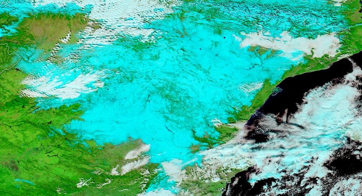
An Aqua MODIS image from 11 January 2021 shows snow cover over central Spain in teal and much of the cloud cover in white.After the event
Europe · 2021

Filomena lays snow over Spain’s cold interior

Filomena carried moist air over an established cold layer in Spain, producing exceptional snowfall in the interior.

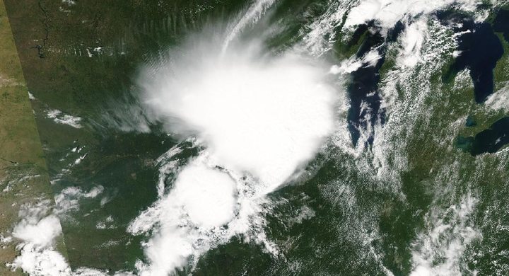
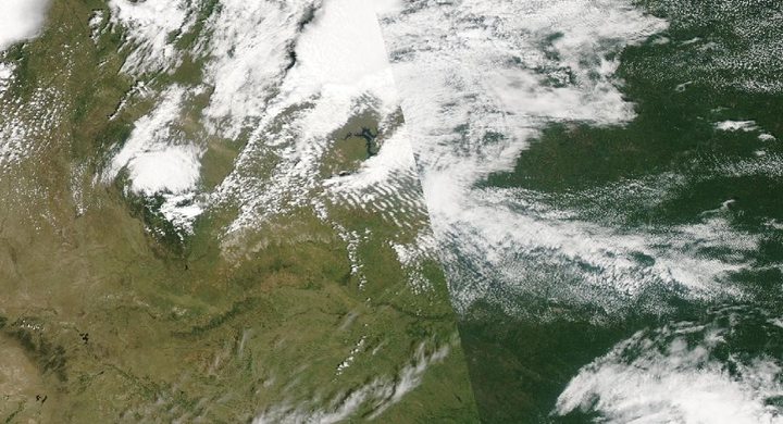
Aqua MODIS shows clouds over the Midwest on 10 August 2020, the day the derecho crossed Iowa.Context image
North America · 2020

Iowa’s derecho: a broad wind swath, not a giant tornado

A fast-moving line of thunderstorms produced a vast corridor of damaging winds across the Corn Belt.

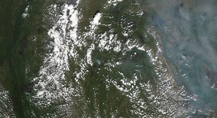
Aqua MODIS satellite view of the study region on 20 June 2020.Context image
Asia · 2020

Verkhoyansk’s 38°C reading becomes a verified Arctic record

A weather station north of the Arctic Circle measured 38°C during Siberia’s prolonged 2020 warmth.

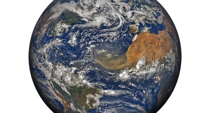
Full-disk Earth view centered on the Atlantic, with Africa at right and a broad tan dust plume extending westward beneath scattered white clouds.Event image
Atlantic and Caribbean · 2020

Following dust across an ocean

A large Saharan dust outbreak traveled across the Atlantic in June 2020.

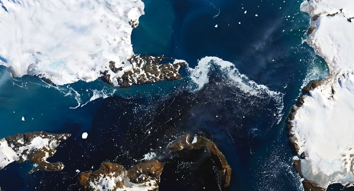
Landsat view of snow-covered Antarctic islands and deep blue coastal water, with exposed rock and pale blue meltwater visible on Eagle Island.After the event
Antarctica · 2020

Esperanza: a warm wind and a verified record

A sharp temperature rise arrived with drier air and a wind change at Esperanza.

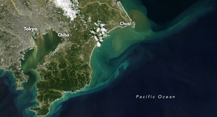
Brown coastal plumes around Tokyo and Chiba in a labelled satellite view.After the event
Asia · 2019

Hagibis: the rain footprint outgrows a category

Hagibis weakened from its oceanic peak before reaching Japan, yet produced extraordinary rain.

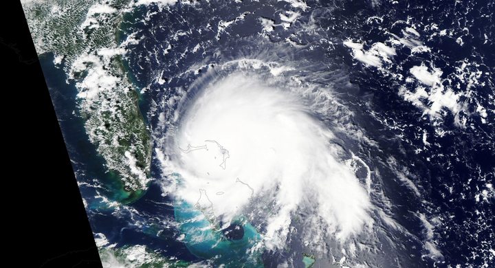
Aqua MODIS captured Dorian’s eye near Great Abaco at 18:05 UTC on 1 September 2019.Event image
North America · 2019

Dorian: intense rotation with almost no progress

Dorian reached the northwestern Bahamas at exceptional intensity and then slowed dramatically as its steering flow weakened.

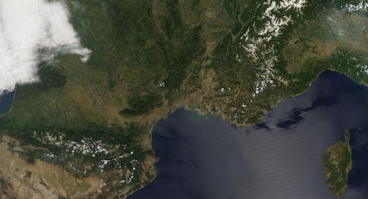
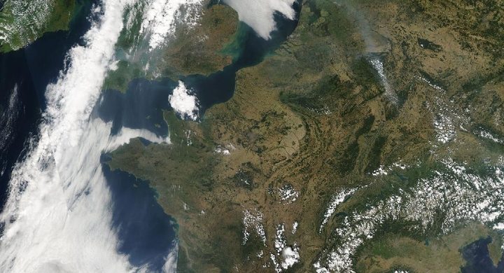
Aqua MODIS satellite view of the study region on 28 June 2019.Context image
Europe · 2019

France’s June 2019 heat crosses 46°C

France’s late-June 2019 heatwave produced an exceptional national mean before the hottest local maximum.

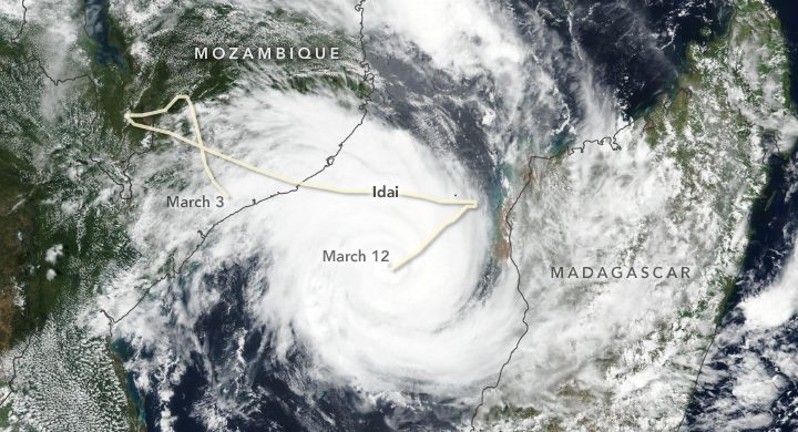
Cyclone Idai’s spiral clouds over the Mozambique Channel with a dated track drawn on the image.Event image
Africa · 2019

Idai: wind, surge and rain are different hazards

Idai crossed the Mozambique coast near Beira and affected a much wider inland region.

Aqua MODIS satellite view of the study region on 30 January 2019.Context image
North America · 2019

Illinois measures the January 2019 Arctic outbreak

A late-January Arctic outbreak produced exceptionally low air temperatures across northern Illinois.

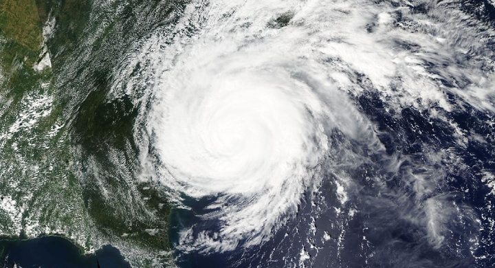
Aqua MODIS captured Florence’s cloud bands along the North Carolina coast on 14 September 2018.Event image
North America · 2018

Florence: rainbands linger after the wind peak

Florence approached the Carolinas with a large circulation and slowed near landfall.

Aqua MODIS satellite view of the study region on 22 August 2018.Context image
Asia · 2018

Kerala: a wet monsoon season builds toward flooding

Kerala’s August 2018 flooding developed within an already wet monsoon season and a further spell of exceptional rainfall.

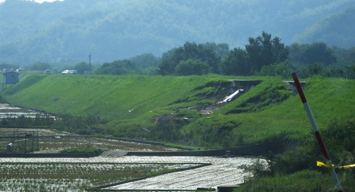
A breached grassy river embankment with a stranded vehicle above muddy fields in Mabi.After the event
Asia · 2018

Japan’s stationary rain boundary

A stationary Baiu front and a moist environment supported extraordinary rainfall across a broad part of Japan.

Civil Defence crew beside a white ambulance on a snow-covered Kerry street.Event image
Europe · 2018

Emma meets an established cold air mass

Bitter easterly air reached Ireland before Storm Emma brought additional moisture.

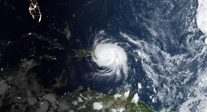
Visible and infrared observations from GOES-13 at 10:15 UTC on 20 September 2017 show Maria over Puerto Rico. NASA combined them with regional imagery to make the composite.Event image
North America · 2017

Maria: a changing eyewall across Caribbean islands

Maria intensified rapidly before Dominica, regained strength over the Caribbean, and then underwent an eyewall replacement before Puerto Rico.

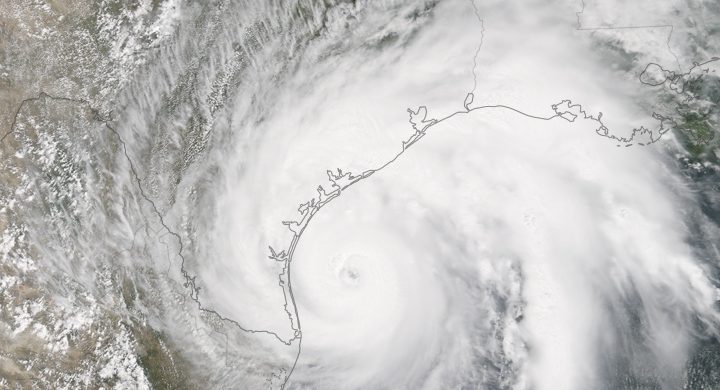
Natural-color Terra MODIS satellite image of Hurricane Harvey over the western Gulf of Mexico, with a small eye, dense spiral cloud and the Texas coast to the northwest.Event image
North America · 2017

Harvey: when a storm stops moving

A shrinking wind threat did not mean an ending rain threat.

Aqua MODIS satellite view of the study region on 8 May 2017.Context image
North America · 2017

Denver hail: cloud-top detail is not a hail-size measurement

A damaging hailstorm crossed metropolitan Denver while the newly launched GOES-16 satellite was collecting unusually frequent images.

Aqua MODIS daylight views on 19 February 2016 show Cyclone Winston crossing the South Pacific near the 180° meridian.Event image
Oceania · 2016

Winston: an island chain meets a changing track

Winston first passed south of Fiji, moved toward Tonga, then turned back west and crossed Fiji at much greater intensity.

A large North Atlantic cloud spiral with a cloud band extending across Ireland and Britain.Event image
Europe · 2015

Desmond: an ocean supply meets the fells

Persistent southwesterly airflow carried moisture into north-west Britain.

Aqua MODIS satellite view of the study region on 2 December 2015.Context image
Asia · 2015

Chennai: winter monsoon moisture meets a coastal low

The December 2015 deluge followed an already wet northeast-monsoon month in southeastern India.

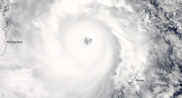
Haiyan’s eye and dense spiral cloud bands east of the Philippines in a satellite view.Event image
Asia · 2013

Haiyan: reading the coast as well as the storm

Haiyan, known locally as Yolanda in the Philippines, crossed the central archipelago with destructive winds and coastal flooding.

Aqua MODIS satellite view of the study region on 31 May 2013.Context image
North America · 2013

El Reno: a changing tornado, followed by training rain

The El Reno event cannot be reduced to the width of its tornado.

Aqua MODIS satellite view of the study region on 20 May 2013.Context image
North America · 2013

Moore: initiation along a dryline, then rapid intensification

The Moore tornado occurred on the final day of a three-day spell of severe weather.

Satellite composite showing central Australia.Context image
Oceania · 2013

Australia’s January 2013 heat spreads across the continent

Australia’s early-2013 heat was exceptional for its broad area and persistence as well as individual station records.

Aqua MODIS daylight imagery on 29 October 2012 shows Sandy’s cloud shield along the U.S. East Coast.Event image
North America · 2012

Sandy: a hurricane becomes a coastal giant

Sandy’s most important change was not simply its category.

Aqua MODIS satellite view of the study region on 29 June 2012.Context image
North America · 2012

The 2012 derecho: storms follow the edge of a heat wave

A long-lived thunderstorm system raced from the Midwest toward the Atlantic during a major heat episode.

Aqua MODIS satellite view of the study region on 3 February 2012.Context image
Europe · 2012

A blocking high redirects Europe’s winter air

Europe’s late-January and early-February 2012 cold spell followed a major change in atmospheric circulation.

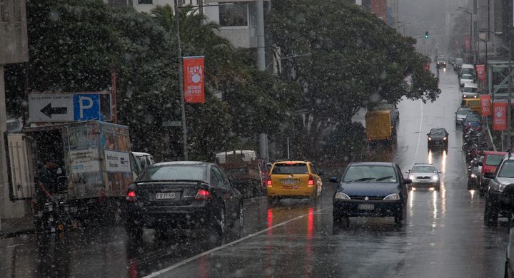
Snowflakes fall between cars and buildings along a wet Wellington street.Event image
Oceania · 2011

New Zealand: snow reaches unusually low ground

Repeated southerly airflows carried a polar outbreak across New Zealand in August 2011.

A false-color Terra ASTER image from 30 May 2011 shows Joplin’s tornado damage path as a pale strip through the city eight days after the storm.After the event
North America · 2011

Joplin: a rapid transition from storm to urban disaster

A supercell moving from southeastern Kansas into southwestern Missouri produced the devastating Joplin tornado.

Aqua MODIS satellite view of the study region on 27 April 2011.Context image
North America · 2011

April 2011: the danger returned in successive waves

The April 2011 outbreak shows why the end of one round of thunderstorms need not mean the end of an episode.

Aqua MODIS captured Yasi as it approached the Queensland coast at 03:35 UTC on 2 February 2011.Event image
Oceania · 2011

Yasi: pressure evidence beneath a large cyclone

Yasi crossed the Coral Sea as a large, strengthening cyclone and reached the Queensland coast near Mission Beach early on 3 February.

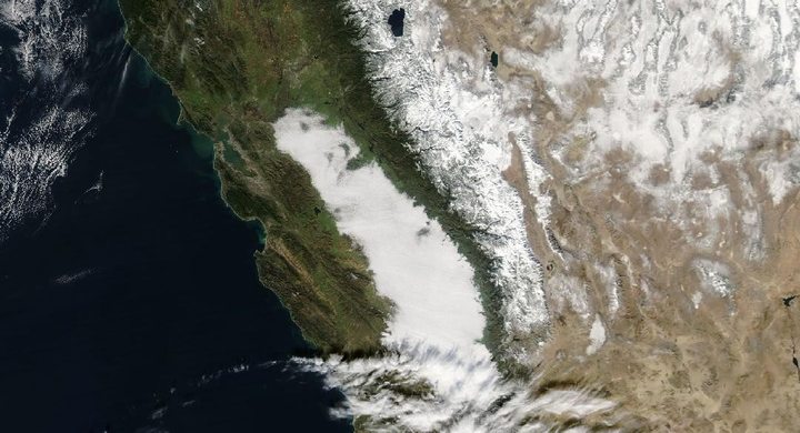
Aqua MODIS captured a low cloud layer following California’s Central Valley on 5 January 2011.Event image
North America · 2011

Two satellites reveal the edges of California’s Tule fog

Persistent valley fog on 5 January 2011 appeared in both geostationary and polar-orbiting satellite products.

Aqua MODIS satellite view of the study region on 23 July 2010.Context image
North America · 2010

Vivian: measuring a hailstone before it disappears

A supercell produced an exceptionally large hailstone near Vivian.

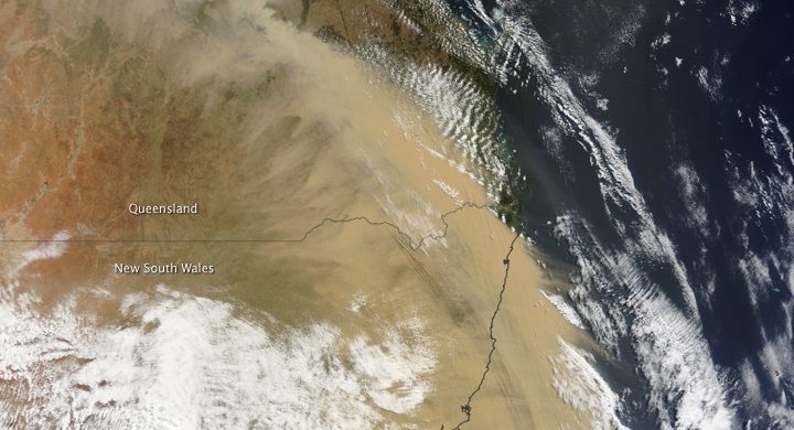
A broad tan dust plume crosses eastern Australia and extends over the Pacific beside white clouds.Event image
Australia · 2009

Sydney’s red dawn was transported dust

A broad dust plume reached Australia’s east coast, turning Sydney’s morning sky red and reducing visibility.

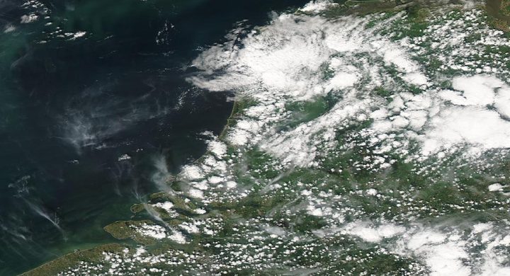
Natural-colour satellite view of the Dutch coastline and cloud patches over the Netherlands, with the North Sea to its west.Event image
Europe · 2009

A sea breeze travels inland across the Netherlands

A coastal circulation left a measurable trail inland: a temperature change, rising humidity and turning winds.

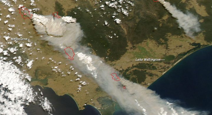
Smoke plumes spread southeast from red-marked fire detections in Victoria near Melbourne.Event image
Australia · 2009

A wind change during extreme fire weather

Extreme heat, dry air, strong winds and dry fuels coincided on Black Saturday.

Aqua MODIS satellite view of the study region on 4 May 2007.Context image
North America · 2007

Greensburg: a violent tornado after sunset

The Greensburg tornado formed within a wider period of severe weather across western Kansas.

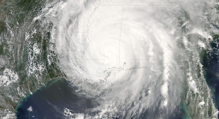
Aqua MODIS shows Katrina’s cloud shield after the centre moved inland on 29 August 2005. The satellite passed over at 2:15 p.m. CDT.Event image
North America · 2005

Katrina: a weaker wind category, a vast water threat

Katrina crossed Florida, intensified over the Gulf, and weakened before its Louisiana landfall.

Aqua MODIS satellite view of the study region on 10 August 2003.Context image
Europe · 2003

Different records trace Europe’s August 2003 heat

The August 2003 European heatwave produced national-average warmth and exceptional station maxima on different days.

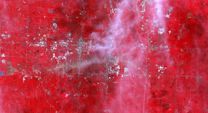
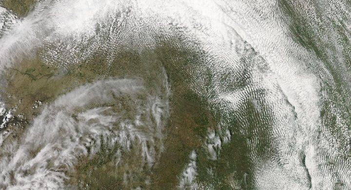
Satellite composite showing central Oklahoma.Context image
North America · 1999

May 1999: one weather system, many separate tornadoes

The May 1999 outbreak produced numerous tornadoes in the southern Plains, including the destructive Bridge Creek–Moore tornado.

Satellite composite showing Eastern Ontario and southern Québec, Canada.Context image
North America · 1998

Repeated freezing rain builds the 1998 Canadian ice storm

Several rounds of freezing precipitation coated eastern Canadian landscapes in January 1998.

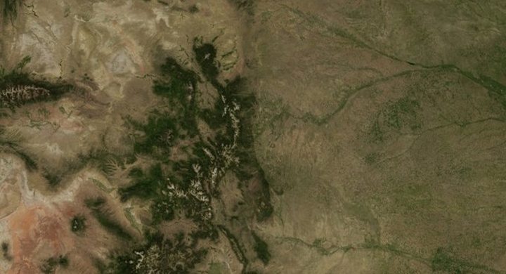
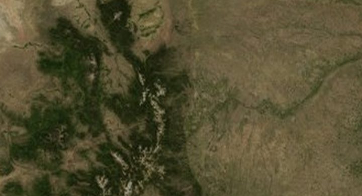
Satellite composite showing Fort Collins and the adjacent foothills, Colorado, United States.Context image
North America · 1997

Fort Collins: small rainfall distances, large flood differences

Repeated rain near the foothills culminated in a destructive flash flood along Spring Creek.

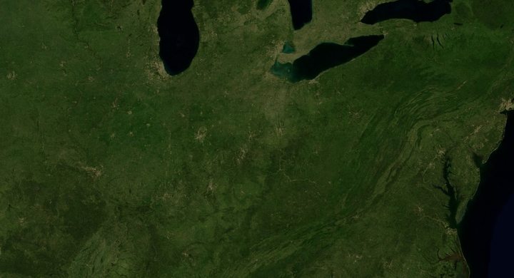
Satellite composite showing Chicago and southern Lake Michigan.Context image
North America · 1995

Chicago’s 1995 heat stayed through the night

Chicago’s July 1995 heat combined very hot afternoons, high moisture content and limited overnight relief.

GOES-7 visible imagery at 18:00 UTC on 13 March 1993 shows the cloud shield of the superstorm along the eastern United States.Event image
North America · 1993

Snow reaches the Deep South in the 1993 superstorm

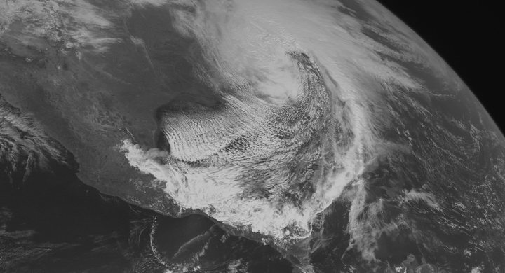
An intensifying Gulf low spread heavy snow from the southern states into the Appalachians in March 1993.

Satellite composite showing the East Antarctic Plateau.Context image
Antarctica · 1983

Vostok’s record cold follows prolonged isolation

Vostok measured −89.2°C in July 1983 after an extended period of cooling on the East Antarctic Plateau.

Satellite composite showing Boulder and the Colorado Front Range, United States.Context image
North America · 1982

Boulder’s January 1982 downslope windstorm

A Front Range downslope windstorm produced repeated extreme gusts at NCAR in January 1982.

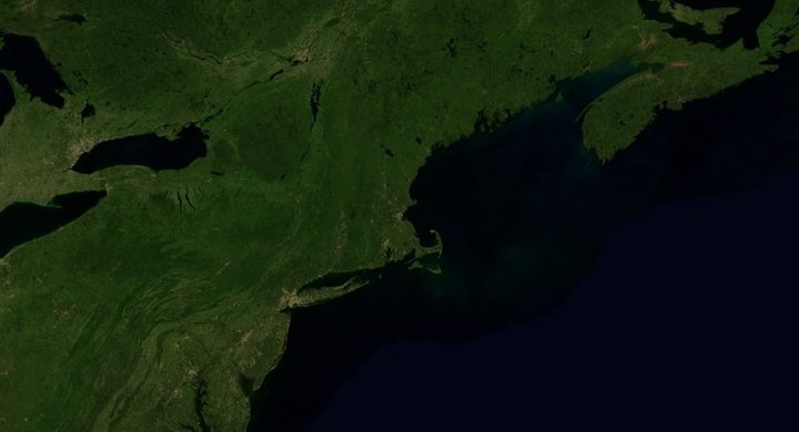
Satellite composite showing southern New England.Context image
North America · 1978

The blizzard that lingered off New England

The February 1978 blizzard combined prolonged snowfall with strong winds while its offshore circulation moved slowly.

Satellite composite showing Big Thompson Canyon and neighboring Front Range basins, Colorado, United States.Context image
North America · 1976

Big Thompson: the storm barely moved, the water moved fast

Nearly stationary convection over steep terrain generated a rapidly moving flood through Big Thompson Canyon.

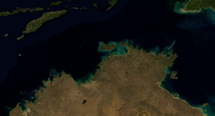
Satellite composite showing Darwin and the coast of northern Australia.Context image
Oceania · 1974

Tracy: a compact cyclone and a broken wind record

Tracy was a small tropical cyclone whose late turn brought its destructive core across Darwin on Christmas morning.

Satellite composite showing the Ohio Valley.Context image
North America · 1974

1974: many tornadoes inside one large weather system

The April 1974 Super Outbreak was a regional sequence of separate thunderstorms and tornadoes, not one continuous funnel.

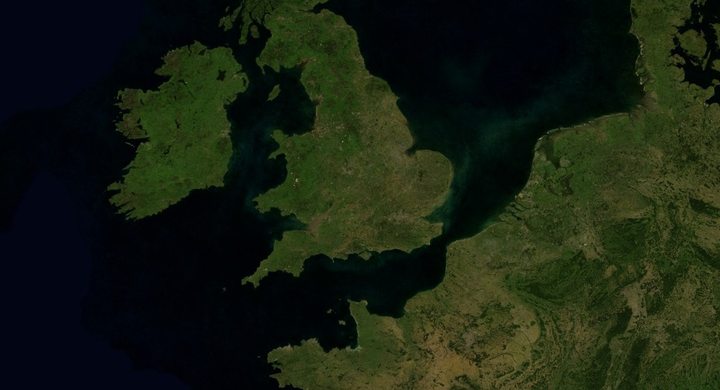
Satellite composite showing the United Kingdom.Context image
Europe · 1962

Why the winter of 1963 refused to thaw

The long winter of 1962–63 was more than a single snowfall.

Nelson’s Column and distant London buildings fade into fog in a black-and-white photograph.Context image
Europe · 1952

Fog beneath an inversion, with pollution trapped inside

Cold, moist near-surface air, weak winds and an inversion helped London’s fog persist while large pollution emissions accumulated.

Satellite composite showing Mount Washington, New Hampshire, United States.Context image
North America · 1934

How observers measured Mount Washington’s great gust

Mount Washington’s observers recorded a 231 mph gust on 12 April 1934.