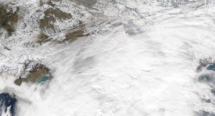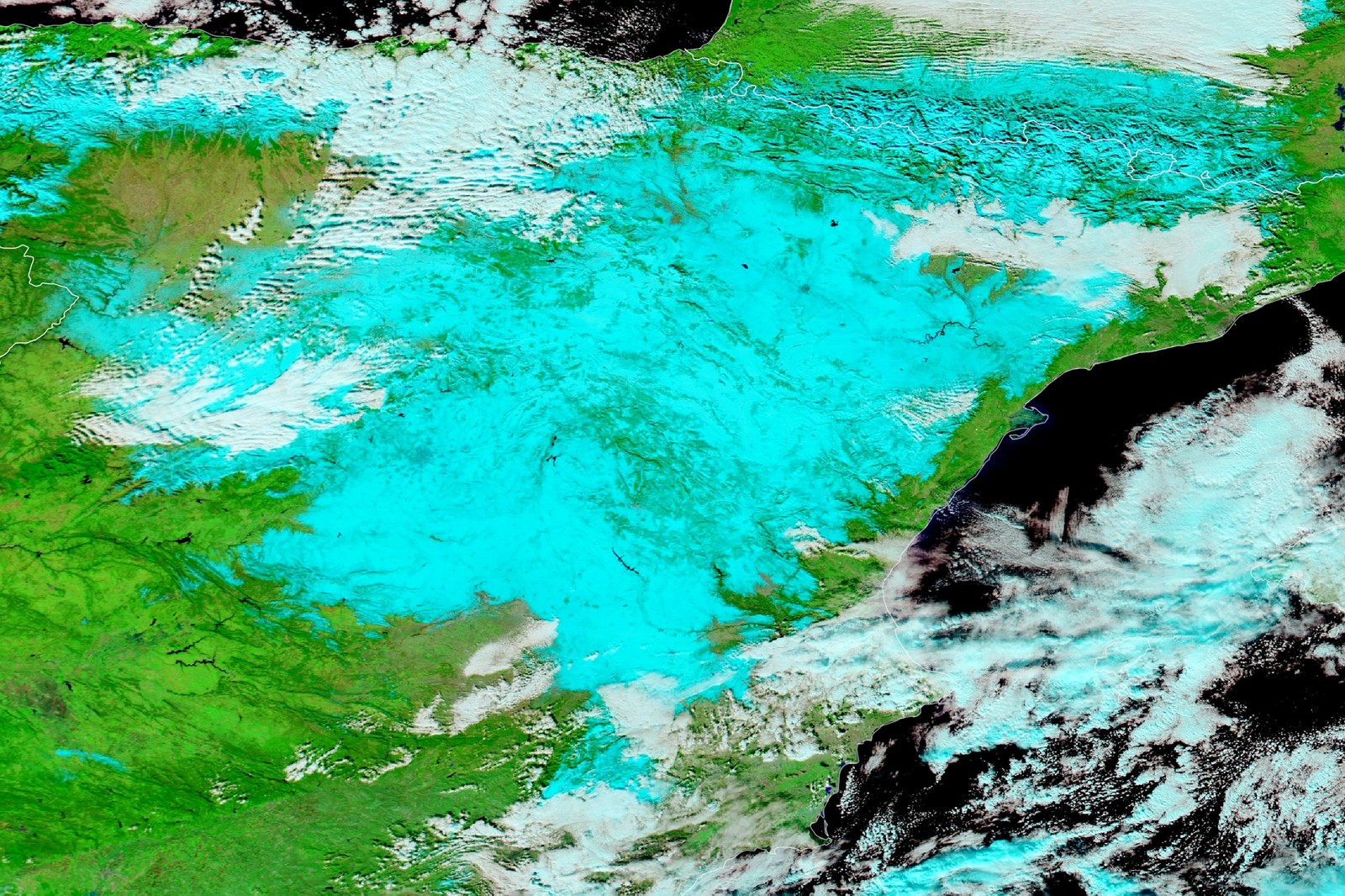
Follow the sequence
The storm affects the Canary Islands
AEMET dates the first impacts in its selected episode to 6 January, before the low reached the Iberian Peninsula. The system’s early rain and wind were followed by a very different precipitation outcome inland.
Heavy snow develops inland
During 8 January and much of 9 January, warm moist air associated with Filomena rose over the cold air already in place. AEMET describes extensive snowfall across central and northeastern Spain.
Snowfall gives way to clearing
Filomena weakened and precipitation subsided on 10 January. Clearing skies over widespread fresh snow prepared the surface for strong nighttime cooling.
The subsequent cold spell closes
AEMET defines the following cold-wave period as 11–17 January. The storm and the cold spell are linked stages, but they are not the same atmospheric process.
Selected observations & analyses
These entries preserve the source’s reported quantities or analyses. They are not a newly processed observational dataset.
| Evidence | Reported value or finding | Provenance |
|---|---|---|
| Snow in Madrid | Accumulations reaching about 50 cm in the capital and other central and eastern areas | AEMET Filomena retrospective; an event summary, not an identical depth at all Madrid sites. |
| Following cold | −26.5°C at Torremocha de Jiloca during the following cold spell | AEMET’s network value quoted in the retrospective; the selected account does not assign a date to that particular minimum. |
The atmospheric mechanism
A storm arriving from a relatively mild maritime environment can still produce snow when it encounters sufficiently deep cold air inland. The air masses do not instantly mix into a uniform temperature. Warm, moist air can ascend over denser cold air, cooling as it rises and supplying precipitation. The falling particles then pass through the temperature profile beneath the cloud, which determines whether they melt before reaching the surface.
Once the low moved away, the mechanism shifted. Fresh snow reflects sunlight and can cool strongly under clear skies. With a high-pressure system limiting cloud and mixing, the air next to the snow can become much colder than air above it. That inversion allows very low local minima, particularly where terrain favours cold-air accumulation. Sunshine therefore need not mean a rapid thaw after a major winter storm.
What the evidence does not establish
AEMET reports a mixture of official-network and other-network extremes; only its own quoted −26.5°C observation is selected here. Snow depth varies with compaction, drifting and exposure. The subsequent minimum is not assigned to Madrid or to the snowfall peak. The account explains compatible physical processes without calculating a separate temperature contribution from snow cover.
Follow the handover from precipitation to surface cooling: a departing snowstorm can leave conditions that support a new phase of cold weather.
Sources & provenance
- Borrasca Filomena: formation, evolution and impacts AEMET, Spanish State Meteorological Agency · 2021 retrospectiveReference only; original paraphrase; no source media reproduced.
Explanations and diagrams are original educational interpretations. Source institutions have not endorsed or reviewed this publication. How we distinguish evidence from models.