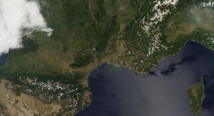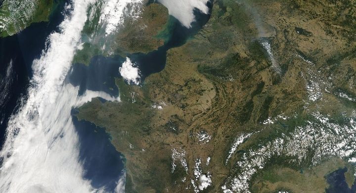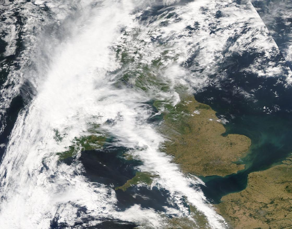
Follow the sequence
The hot spell begins
The Met Office defines the main UK episode as 16–19 July. Hot continental air was moving northward into the country.
Records extend across Wales
Hawarden Airport reached 37.1°C. This is a station maximum and a Welsh national record in the event report, rather than a regional average.
The peak and a western change
Coningsby recorded 40.3°C while a cold front brought cloud and thundery rain to parts of the west. Extreme heat and relief did not occur everywhere at the same time.
Basis: Met Office [1] · Met Office [2]
Selected observations & analyses
These entries preserve the source’s reported quantities or analyses. They are not a newly processed observational dataset.
| Evidence | Reported value or finding | Provenance |
|---|---|---|
| Coningsby maximum | 40.3°C on 19 July | Met Office post-event report; standard near-surface air temperature. |
| Hawarden Airport maximum | 37.1°C on 18 July | Met Office post-event report; Wales. |
| Kenley daily minimum | 25.8°C on 19 July | Met Office event report; daily minimum, not the afternoon maximum. |
The atmospheric mechanism
The Met Office analysis places Britain between continental high pressure and a low to the northwest of Scotland. Southerly flow transported a very hot air mass northward. Subsiding air, limited cloud over much of central and eastern England, and midsummer solar heating reinforced the hot conditions. The temperature was an outcome of transport and local energy exchange, not simply the height of the Sun.
The important reading exercise is to compare time and place. A regional chart explains the broad wind pathway, whereas the station series shows the daily heating cycle at one exposure. A high nighttime minimum provides different information from a high daytime maximum: it describes limited overnight relief. Neither is interchangeable with a satellite measurement of the radiating land surface.
Basis: Met Office [1] · Met Office [2]
What the evidence does not establish
A national record is the highest accepted station value, not the temperature experienced throughout the country. The front already affecting western areas on 19 July prevents a simple story of uniform nationwide heat. This page does not calculate a climate-attribution fraction; evaluating altered event probability requires a specific attribution study and a defined counterfactual climate.
Place an extreme reading beside nearby observations and the synoptic chart. Then ask whether the variable is air temperature, surface temperature, daily maximum or daily minimum before comparing numbers.
Sources & provenance
- Unprecedented extreme heatwave, July 2022 Met Office · 2022Reference only; original paraphrase; no source media reproduced.
- UK monthly climate summary: July 2022 Met Office · 2022-08Reference only; original paraphrase; no source media reproduced.
Explanations and diagrams are original educational interpretations. Source institutions have not endorsed or reviewed this publication. How we distinguish evidence from models.