Follow the sequence
The national average reaches its peak
The Bureau of Meteorology calculated an Australian area-average daily maximum of 40.30°C on 7 January. This described the breadth of the heat rather than the temperature at a particular station.
The interior produces the highest station reading
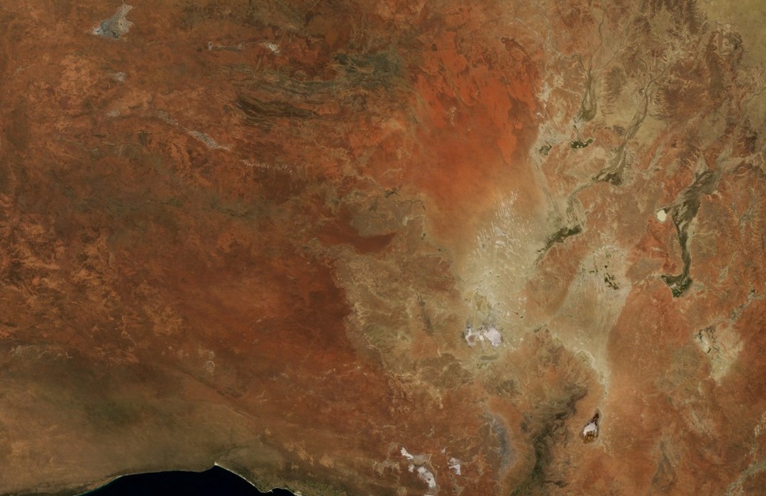
Moomba reached 49.6°C on 12 January as the most extreme heat shifted into northeastern South Australia and neighbouring inland areas. Other places peaked on different days.
A late pulse reaches the New South Wales coast
Northwesterly flow brought another surge of heat eastward. Sydney Observatory Hill reached 45.8°C on 18 January, according to the Bureau’s station table.
Different air masses moderate the event
The Bureau marks 19 January as the end of the main heatwave, with southerly winds cooling southern states and moisture from the developing monsoon moderating conditions farther north.
Basis: Australian Bureau of Meteorology [1] · Australian Bureau of Meteorology [2]
Selected observations & analyses
These entries preserve the source’s reported quantities or analyses. They are not a newly processed observational dataset.
| Evidence | Reported value or finding | Provenance |
|---|---|---|
| National daily maximum average | 40.30°C on 7 January | Bureau of Meteorology Special Climate Statement 43, updated 1 February 2013; an area-weighted analysis of daily maxima. |
| Highest selected station value | 49.6°C at Moomba on 12 January | Bureau of Meteorology event station table; measured air temperature, not a continental mean. |
| Coastal-city observation | 45.8°C at Sydney Observatory Hill on 18 January | Bureau of Meteorology Special Climate Statement 43; the named site differs from Sydney Airport. |
The atmospheric mechanism
A large dry continent can build a deep reservoir of hot air under persistent summer heating. The Bureau identifies the late northern monsoon as relevant: tropical cloud and moisture had not yet moderated the interior as they often do. Synoptic winds then move that air toward different coasts and cities, so the warmest local day need not coincide with the greatest national average.
A coastal location is not automatically protected by nearby water. Offshore or continental flow can replace the usual maritime influence for a time, allowing the inland air mass to dominate. A later wind change can alter temperatures rapidly even while locations farther inland remain hot. The sea-breeze experiment illustrates one local competition, but this continental event also involved pressure systems and air transport on much larger scales.
Basis: Australian Bureau of Meteorology [1] · Australian Bureau of Meteorology [2]
What the evidence does not establish
The figures retain the Bureau’s 2013 analysis and are not presented as current records. National daily maxima are averaged after each location’s maximum has occurred, so 40.30°C is not a simultaneous temperature everywhere. The chosen January window excludes the earlier December development, and the end of the main episode does not mean every inland station immediately returned to normal.
Follow both the hot air mass and the wind changes that deliver it; compare regional extent and local peaks using their own dates and statistics.
Sources & provenance
- Special Climate Statement 43: extreme heat in January 2013 Australian Bureau of Meteorology · 2013-02-01Reference only; original paraphrase; no source media reproduced.
- Annual Australian Climate Statement 2013 Australian Bureau of Meteorology · 2014 annual assessmentReference only; original paraphrase; no source media reproduced.
Explanations and diagrams are original educational interpretations. Source institutions have not endorsed or reviewed this publication. How we distinguish evidence from models.