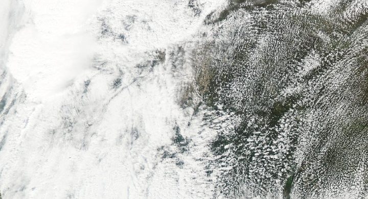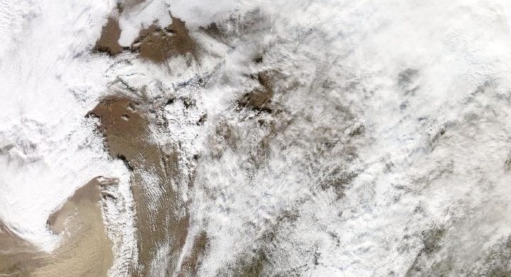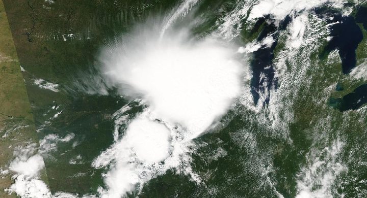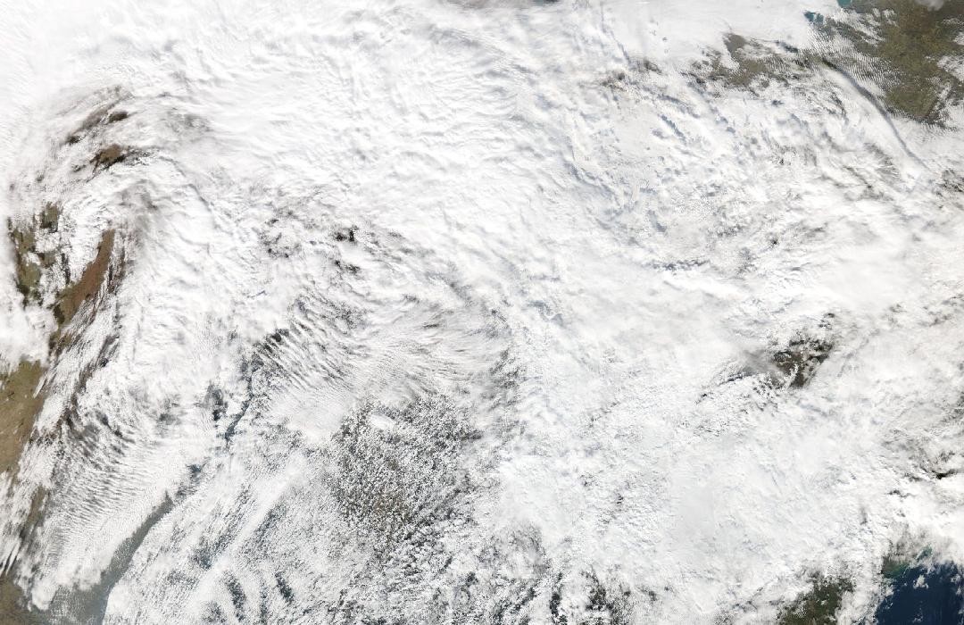
Follow the sequence
A strong system crosses the central United States
NWS Paducah places the western Kentucky tornadoes within a potent weather system moving across the central states. The calendar month did not prevent the atmosphere from supporting deep, organized thunderstorms.
The Mayfield tornado follows a long track
The assessed tornado began in northwestern Tennessee and crossed western Kentucky, including Mayfield, Dawson Springs and other communities. NWS Paducah’s table places its main track during the late evening, with a peak EF4 rating.
Other storms continue into the early morning
The NWS Louisville chronology documents additional tornadoes across Kentucky into Saturday morning. These later tracks belong to the outbreak, not to an assumption that the Mayfield tornado itself crossed every damaged place overnight.
Basis: NOAA National Weather Service, Paducah [1] · NOAA National Weather Service, Louisville [2]
Selected observations & analyses
These entries preserve the source’s reported quantities or analyses. They are not a newly processed observational dataset.
| Evidence | Reported value or finding | Provenance |
|---|---|---|
| Continuous surveyed track | 165.7 miles / about 267 km | NWS Paducah final summary of the long-track western Kentucky tornado, including its Tennessee segment; separate from the parent storm’s longer travel history. |
| Highest assessed wind | 190 mph / about 306 km/h, EF4 | NWS Paducah damage survey; estimated peak wind at the strongest damage, not an observation of that speed along all 165.7 miles. |
The atmospheric mechanism
Season affects how often favorable environments occur, but it does not replace the ingredients themselves. A strong weather system can transport moist air northward while winds change rapidly with height. Where sufficient buoyancy and lifting coincide with that shear, organized convection can persist after sunset. The important comparison is between the actual profiles and storm evolution, rather than between the event and an imagined rule that tornadoes belong only to spring.
Long storm tracks also create a classification problem. One supercell may produce more than one tornado, with a gap between ground circulations even while its radar rotation continues. Establishing a continuous tornado path therefore requires the pattern of damage and other observations, not simply a smooth line drawn through successive radar scans. The published 165.7-mile value is the assessed tornado track; it should not be silently replaced with a longer distance associated with the storm system.
Basis: NOAA National Weather Service, Paducah [1] · NOAA National Weather Service, Louisville [2]
What the evidence does not establish
A highest rating and an overall track length compress very different information. Damage intensity varies within a track, while low exposure can leave parts of a circulation less well sampled. This case does not infer tornado probability from the month alone or use a cold cloud top as evidence of a continuous ground vortex. The storms lab explains ingredients but has no tornado-duration model.
Name the object being measured—storm, tornado or outbreak—before comparing track lengths, and use actual atmospheric conditions rather than the season as the explanation.
Sources & provenance
- The Violent Tornado Outbreak of December 10–11, 2021 NOAA National Weather Service, Paducah · Publication date not statedReference only; original paraphrase; no source media reproduced.
- December 10–11, 2021 Tornadoes NOAA National Weather Service, Louisville · Publication date not statedReference only; original paraphrase; no source media reproduced.
Explanations and diagrams are original educational interpretations. Source institutions have not endorsed or reviewed this publication. How we distinguish evidence from models.