Follow the sequence
Rain accompanies a brief thaw
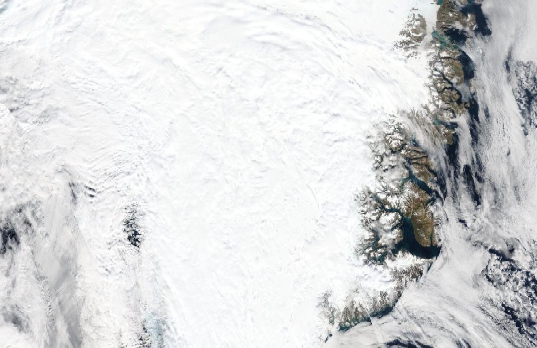
NSIDC reports rain beginning around 07:00 UTC as Summit’s air temperature rose above freezing. The temperature peaked near 0.48°C and fell below freezing later that afternoon.
Summit cools while regional melt continues
Following clearing skies, Summit cooled sharply and did not reach freezing again that day. Satellite analysis still indicated widespread melt elsewhere on the ice sheet, demonstrating that one high station did not represent the entire region.
The melt footprint contracts
NSIDC’s mapped daily melt area fell to 512,000 square kilometres by 16 August. This was a reduction in the area experiencing surface melt, not a measurement of how much water remained on the ice.
Basis: National Snow and Ice Data Center [1] · National Snow and Ice Data Center [2]
Selected observations & analyses
These entries preserve the source’s reported quantities or analyses. They are not a newly processed observational dataset.
| Evidence | Reported value or finding | Provenance |
|---|---|---|
| Local rain report | Rain observed for several hours at Summit on 14 August | On-station observations reported by NSIDC; the 2021 seasonal assessment identifies the first such report since continuous field observations began in 2008. |
| Station temperature | Peak of about 0.48°C around 10:40 UTC on 14 August | NOAA station data discussed by NSIDC; air temperature at Summit, distinct from a modelled regional temperature. |
| Daily melt area | 872,000 square kilometres on 14 August | NSIDC satellite-derived melt extent; area with detected melt, not meltwater volume or mass loss. |
The atmospheric mechanism
Low pressure near Baffin Island and higher pressure southeast of Greenland directed warm, moist air northward onto the ice sheet. The flow carried both heat and water vapour to elevations where cold, dry conditions normally dominate. Precipitation phase depends on the cloud and falling-particle temperature profile as well as the temperature measured at the station.
Liquid water reaching snow does not necessarily run straight to the ocean. It can enter pores and refreeze, releasing latent heat into the snowpack. Where bare ice or saturated snow limits storage, runoff behaves differently. Consequently, a photograph of droplets proves local liquid water but cannot establish ice-sheet mass loss. That broader calculation needs additional observations and a water-budget model.
Basis: National Snow and Ice Data Center [1] · National Snow and Ice Data Center [2]
What the evidence does not establish
The rainfall report, station thermometer and satellite melt product are complementary, not interchangeable. No local rainfall depth is invented from the observers’ description. A first report within a specified observing record is not proof that rain never fell there earlier. The selected three-day window covers the warm intrusion and retreat; it does not describe the whole 2021 melt season.
Match each conclusion to its evidence: observers establish rain, thermometers establish local air temperature, and satellite analysis estimates the wider melt footprint.
Sources & provenance
- Rain at the summit of Greenland National Snow and Ice Data Center · 2021-08-18Reference only; original paraphrase; no source media reproduced.
- Greenland surface melting in 2021 National Snow and Ice Data Center · 2021 seasonal assessmentReference only; original paraphrase; no source media reproduced.
Explanations and diagrams are original educational interpretations. Source institutions have not endorsed or reviewed this publication. How we distinguish evidence from models.