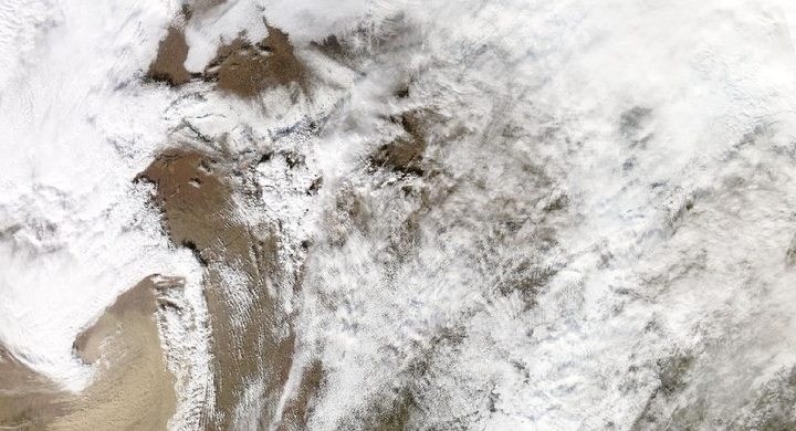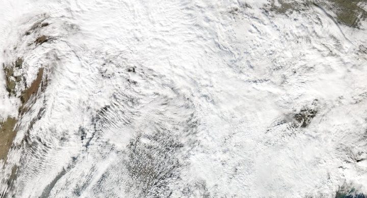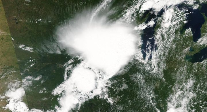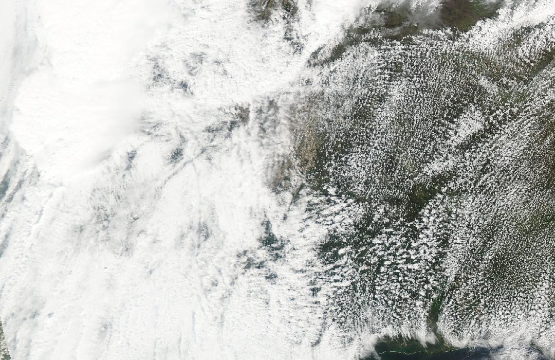
Follow the sequence
A tornado crosses the Mississippi Delta
The final NWS Jackson survey places the Rolling Fork–Silver City tornado between 19:57 and 21:08 CDT. Its damage varied along the route; the maximum classification describes the most intense assessed portion.
The parent storm changes farther east
NWS Birmingham follows the significant storm from Mississippi into northern Alabama, where it produced both tornado and straight-line wind damage. A continuing thunderstorm does not imply one continuous tornado across state boundaries.
A stalled front supports further rounds
The Birmingham account describes renewed severe storms near a front stalled along the Gulf Coast. This later activity belonged to the wider weather episode, rather than to the original Rolling Fork circulation.
The extended episode reaches Monday morning
Additional severe storms continued into early Monday across central Alabama. The case window captures that regional sequence; the Mississippi tornado itself occurred only on the evening of 24 March.
Basis: NOAA National Weather Service, Jackson; archived by Iowa State University Iowa Environmental Mesonet [1] · NOAA National Weather Service, Birmingham [2]
Selected observations & analyses
These entries preserve the source’s reported quantities or analyses. They are not a newly processed observational dataset.
| Evidence | Reported value or finding | Provenance |
|---|---|---|
| Final peak-wind assessment | 195 mph / about 314 km/h; EF4 | NWS Jackson Public Information Statement, 6 June 2023, archived by Iowa State University; revised after additional surveys and expert consultation. |
| Assessed tornado path | 59.4 miles / about 95.6 km | Same final NWS Jackson survey; the Rolling Fork–Silver City track, not the full travel distance of the parent supercell or later storm complex. |
The atmospheric mechanism
A storm’s structure can evolve while it travels through changing inflow and interacts with other convection. Rotation, rain-cooled outflow and new updraft development can change the balance between tornado damage and broader damaging winds. That is why the regional sequence is described in terms of a parent storm and later storm rounds, while each tornado receives its own start, end and assessed path.
The final survey is also a scientific observation process. An initially visible failure may not reveal how a building was anchored or whether debris contributed to the damage. Aerial context and engineering inspection can modify the estimated wind needed to produce the observed effects. The June revision did not mean the March atmosphere changed retrospectively; it meant the evidence and its interpretation became more complete.
Basis: NOAA National Weather Service, Jackson; archived by Iowa State University Iowa Environmental Mesonet [1] · NOAA National Weather Service, Birmingham [2]
What the evidence does not establish
The final peak estimate is not a measured gust at every location, and it should not be confused with the wind needed to damage a different type of structure. The source archive contains the official NWS statement but is hosted by a university. Later Alabama storms establish the regional chronology; they are not attributed to a single four-day tornado.
Retain the date and version of a survey, and distinguish a revised estimate of past conditions from a new event or a change in the rating system.
Sources & provenance
- Final Rolling Fork–Silver City tornado survey: Public Information Statement NOAA National Weather Service, Jackson; archived by Iowa State University Iowa Environmental Mesonet · 2023-06-06Reference only; original paraphrase; no source media reproduced.
- Extended Severe Event of March 24–27, 2023 NOAA National Weather Service, Birmingham · Publication date not statedReference only; original paraphrase; no source media reproduced.
Explanations and diagrams are original educational interpretations. Source institutions have not endorsed or reviewed this publication. How we distinguish evidence from models.