Follow the sequence
Snow arrives at low elevations
NIWA reports low-level snow across much of the South Island and in central Wellington and its hill suburbs. Dates here follow the New Zealand local-date reporting in the summary.
Another day of southerly air
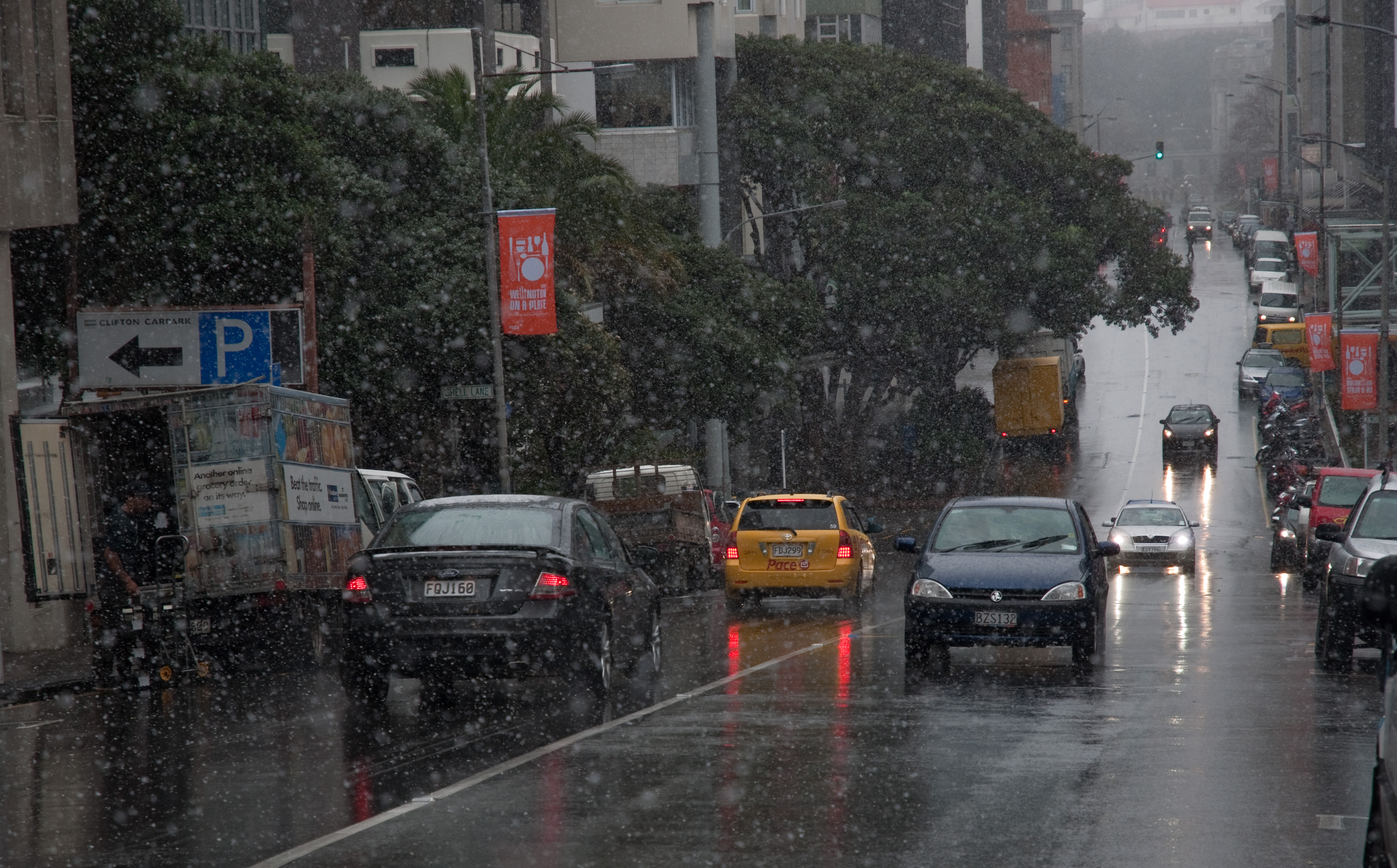
Snow again reached sea level in Wellington. NIWA also records brief snowfall in Auckland that did not settle, distinguishing falling snow from accumulated snow.
A very cold station minimum
Lake Rotoiti in the Nelson Lakes district recorded −10.1°C, the lowest temperature reported in NIWA’s national August summary.
Snow and ice effects continue
The report describes continuing snow or ice disruption in both islands. The end of this four-day outbreak did not mean every icy surface had thawed.
Basis: NIWA National Climate Centre [1] · NOAA National Weather Service, Louisville [2]
Selected observations & analyses
These entries preserve the source’s reported quantities or analyses. They are not a newly processed observational dataset.
| Evidence | Reported value or finding | Provenance |
|---|---|---|
| Documented outbreak window | 14–17 August 2011 | NIWA National Climate Centre monthly summary, published 2 September 2011. |
| Lake Rotoiti minimum | −10.1°C on 16 August | Reported station temperature in the Nelson Lakes district; not the temperature of Wellington’s snow. |
| Wellington snow level | Sea level on 15 August | NIWA event account; a reported precipitation occurrence, not a measured city-wide snow depth. |
The atmospheric mechanism
The large-scale ingredient was sustained transport of cold air from the south. Whether precipitation reaches the ground as snow also depends on its route through the atmosphere. Snowflakes can survive a shallow or weakly warm layer, while sufficiently warm, deep layers melt them. The surface thermometer is therefore only one part of the diagnosis; a vertical temperature and humidity profile adds information that a single reading cannot supply.
Snowfall and snow cover answer different questions. Flakes may be visible in the air while the ground remains too warm for them to accumulate. Shelter, elevation and the arrival of individual showers can make nearby places look different during one outbreak. A useful comparison starts with observations that share a time window, then separates precipitation type from the depth remaining on the ground.
Basis: NIWA National Climate Centre [1] · NOAA National Weather Service, Louisville [2]
What the evidence does not establish
The national report combines instrument records with reports of weather and disruption. It does not provide a measured atmospheric profile or snow-depth map for every street. This account does not turn a regional summary into local totals. Nor does a memorable four-day snow event describe the whole month: NIWA found that many northern and western areas had a very dry August overall.
Follow the air mass, then inspect the vertical profile and the surface. Keep “snow fell,” “snow settled” and “snow depth was measured” as three different claims.
Sources & provenance
- National Climate Summary — August 2011: Snow & sunshine NIWA National Climate Centre · 2011-09-02Reference only; original paraphrase; no source media reproduced.
- Determining Winter Precip NOAA National Weather Service, Louisville · Publication date not statedReference only; original paraphrase; no source media reproduced.
Explanations and diagrams are original educational interpretations. Source institutions have not endorsed or reviewed this publication. How we distinguish evidence from models.