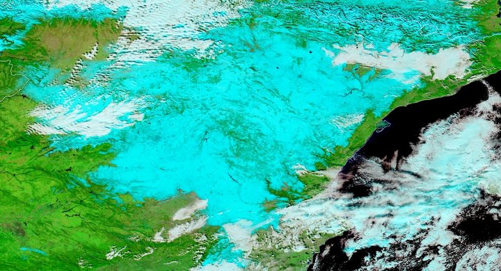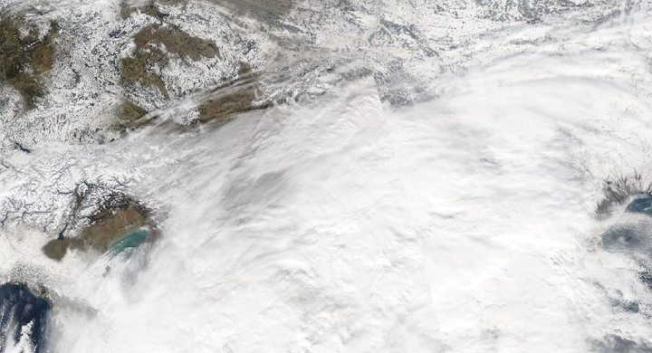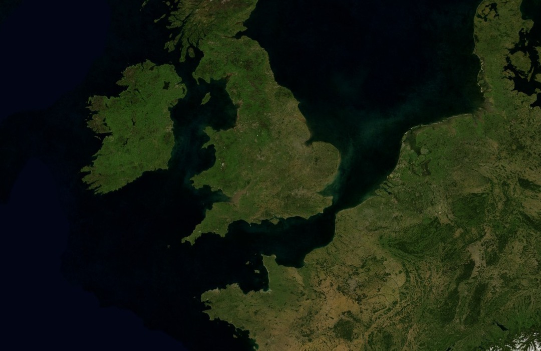
Follow the sequence
The airflow changes
The Met Office places a high-pressure system northeast of the British Isles on 22 December. Cold winds replaced the earlier changeable weather, beginning a circulation pattern that persisted through much of the winter.
Snow becomes a lasting surface condition
A 29–30 December blizzard affected Wales and southwest England after earlier Christmas-period snow. The Met Office describes much of England retaining snow cover every day from late December into early March.
A sharply cold night is recorded
Braemar reached −22.2°C on 18 January according to the Met Office retrospective. That individual minimum sits within a much longer episode of cold days and nights.
Milder air ends the selected episode
Southwesterly airflow returned on 4 March. By 6 March the Met Office account reports a frost-free morning across the British Isles and 17°C in London.
Basis: Met Office [1] · Met Office [2]
Selected observations & analyses
These entries preserve the source’s reported quantities or analyses. They are not a newly processed observational dataset.
| Evidence | Reported value or finding | Provenance |
|---|---|---|
| Station minimum | −22.2°C at Braemar on 18 January | Met Office Severe Winters account; a location-specific air-temperature minimum. |
| Daytime persistence | January mean maximum temperatures below 0°C at several southern England and Wales locations | Met Office retrospective; a monthly average of daily maxima, rather than a claim that every hour stayed below freezing. |
| Seasonal mean | UK winter mean temperature −0.3°C in the series beginning in 1884 | Met Office winter media resources; seasonal and national averaging differ from the selected Braemar minimum. |
The atmospheric mechanism
The position of a high matters as much as its presence. An anticyclone northeast of Britain can support an easterly component that brings continental cold, whereas another position can supply much milder air. Persistent circulation restricts the arrival of new Atlantic air masses. Once snow covers the ground it reflects a larger fraction of sunlight, reducing the energy available for daytime warming.
Clear winter nights allow the snow surface to lose infrared energy and cool the air immediately above it. Weak mixing can preserve that cold layer. The next short winter day may add insufficient energy to melt much snow, allowing the pattern to repeat. This is an energy-budget explanation, not a claim that snow cover by itself caused the whole winter: advection, cloud and wind continued to matter.
Basis: Met Office [1] · Met Office [2]
What the evidence does not establish
Drifts several metres deep were redistributed snow, not representative snowfall measurements. The UK seasonal mean, regional monthly maxima and a Scottish overnight minimum answer different questions and must not be ranked together. This historical example also does not establish how frequently an equivalent circulation will recur; that requires a separate climate analysis.
For a long cold spell, examine the repeated daily energy balance and the source of incoming air, rather than searching for one decisive snowfall.
Sources & provenance
- Severe Winters: the winter of 1963 Met Office · Publication date not stated; retrospective event accountReference only; original paraphrase; no source media reproduced.
- Winter resources: historical UK winter statistics Met Office · Publication date not stated; retrospective event accountReference only; original paraphrase; no source media reproduced.
Explanations and diagrams are original educational interpretations. Source institutions have not endorsed or reviewed this publication. How we distinguish evidence from models.