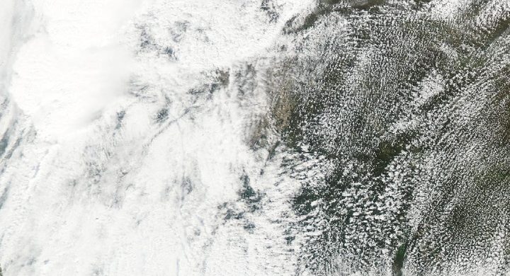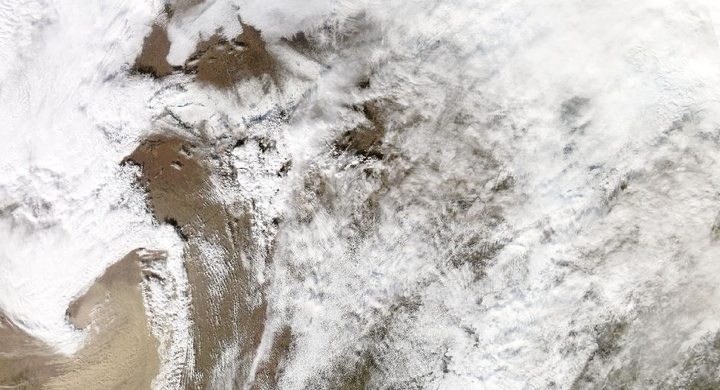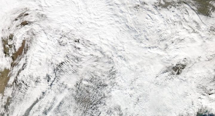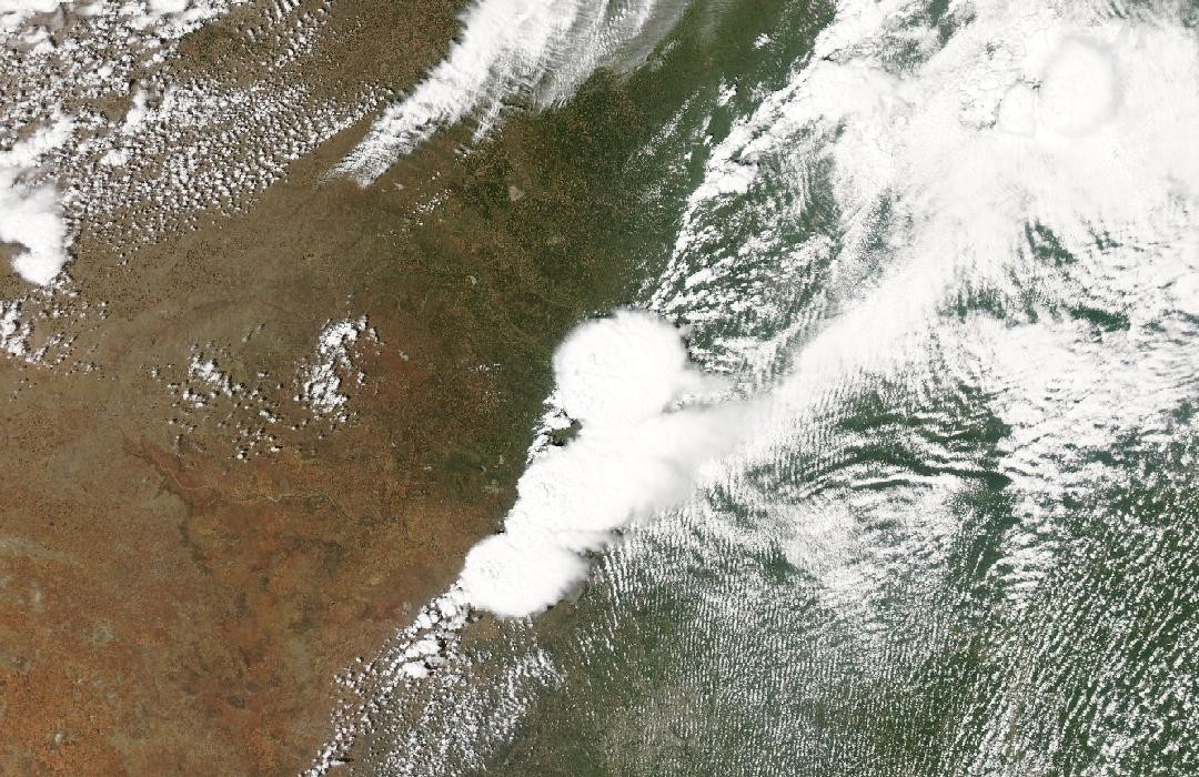
Follow the sequence
The multi-day episode begins
NWS Norman places the 20 May event within significant severe weather from 18–20 May. This wider window describes repeated opportunities for storms, not one supercell remaining intact for three days.
Another day of regional severe weather
The official account places damaging Oklahoma storms on the preceding day. Conditions favorable for severe convection persisted into the next afternoon, but the later Moore storm had its own initiation and track.
A new storm becomes tornadic
Supercells formed near a central Oklahoma dryline. The Newcastle–Moore tornado began at 14:56 CDT and moved east-northeast through Moore before dissipating near Lake Stanley Draper; the NWS chronology documents roughly forty minutes of tornado activity.
Meteorological support continues after passage
The NWS account records a forecaster supporting the Moore incident command on the following day. This response stage follows the tornado and does not extend the duration of its winds.
Basis: NOAA National Weather Service, Norman [1] · National Institute of Standards and Technology and NOAA National Severe Storms Laboratory [2]
Selected observations & analyses
These entries preserve the source’s reported quantities or analyses. They are not a newly processed observational dataset.
| Evidence | Reported value or finding | Provenance |
|---|---|---|
| Surveyed path | 14 miles / about 23 km | NWS Norman tornado-data table for 20 May; the Newcastle–Moore damage path, not the parent thunderstorm’s full travel distance. |
| Maximum damage rating | EF5; listed maximum width 1,900 yards / about 1.74 km | NWS Norman survey summary; peak rating and greatest reported width describe different properties of the path. |
The atmospheric mechanism
A dryline separates relatively dry air from moister air rather than necessarily separating warm from cold air. Converging near-surface flow and daytime heating can help lift parcels toward their level of free convection. Once storms form, vertical wind shear can organize their updrafts. The boundary is therefore part of the initiation problem; it does not dictate that every storm along it will become tornadic.
The rapid change from a growing thunderstorm to a violent tornado also warns against treating a single environmental number as an outcome. A buoyancy integral describes potential energy in a chosen parcel profile. It does not calculate storm-scale rotation, the strength of a near-ground vortex, or the strength of structures in its path. The storms lab deliberately leaves those processes out, so its controls can separate ingredients without pretending to reproduce Moore.
Basis: NOAA National Weather Service, Norman [1] · National Institute of Standards and Technology and NOAA National Severe Storms Laboratory [2]
What the evidence does not establish
Times in the NWS narrative use daylight time, while parts of the historical table are labelled CST; this case uses the narrative’s CDT convention. Maximum width does not imply equally intense winds across that width, and the highest damage rating cannot be inferred from the size of a visible funnel or an overhead cloud shield.
Follow the chain from boundary to storm initiation to surveyed tornado track, keeping the spatial scale and clock convention of each observation explicit.
Sources & provenance
- The Tornado Outbreak of May 20, 2013 NOAA National Weather Service, Norman · Publication date not statedReference only; original paraphrase; no source media reproduced.
- Preliminary Reconnaissance of the May 20, 2013, Newcastle-Moore Tornado in Oklahoma National Institute of Standards and Technology and NOAA National Severe Storms Laboratory · 2013-12Reference only; original paraphrase; no source media reproduced.
Explanations and diagrams are original educational interpretations. Source institutions have not endorsed or reviewed this publication. How we distinguish evidence from models.