Follow the sequence
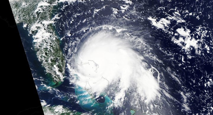
Organization remains limited
NHC reports that convection pulsed west of the low-level center under moderate easterly shear and some dry air, even while Otis was over warm water.
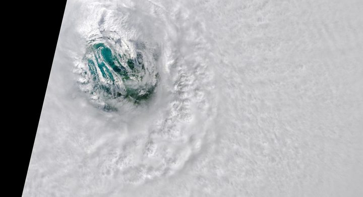
The inner core consolidates
The final analysis places hurricane intensity at 12:00 UTC. A microwave eye appeared as deep convection wrapped around the center, and reconnaissance later sampled much stronger winds.
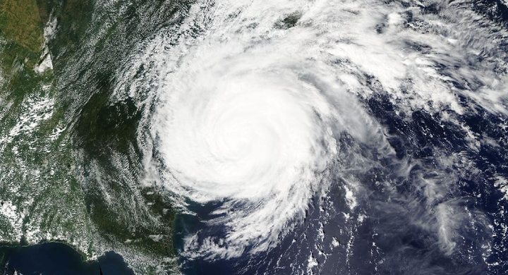
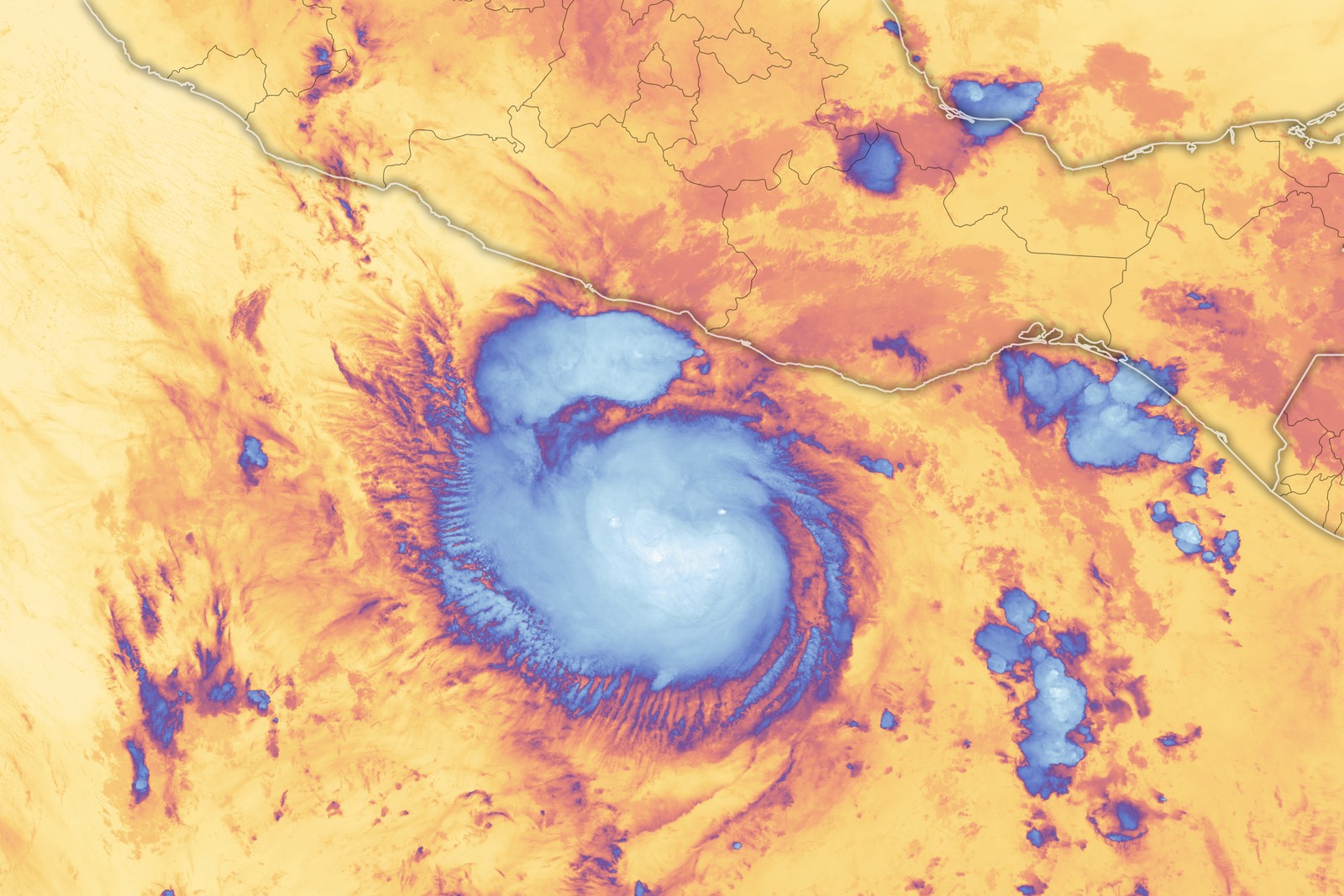
Peak and landfall before rapid decay
NHC estimates a 145-knot peak at 03:00 UTC and 140-knot landfall near Acapulco at about 06:45 UTC. Otis weakened rapidly over rugged terrain and dissipated later that day.
Selected observations & analyses
These entries preserve the source’s reported quantities or analyses. They are not a newly processed observational dataset.
| Evidence | Reported value or finding | Provenance |
|---|---|---|
| Analyzed strengthening | 90 kt in 21 hours | NHC retrospective change ending at 03:00 UTC on 25 October 2023; derived from the intensity analysis, not a continuous instrument record. |
| Reported event rainfall maximum | 266.0 mm at Acapulco | Mexico surface rainfall data compiled in NHC’s April 2024 report; a storm total at one site, not the amount across all Guerrero. |
The atmospheric mechanism
Otis moved toward exceptionally warm water while the opposing shear eased, allowing convection to consolidate around a small inner core. The resulting feedback between inflow, condensation and pressure change developed very quickly. The useful lesson is that an earlier disorganized appearance is a statement about an earlier time. It cannot be carried forward unchanged when ocean conditions, shear and the internal alignment of the storm are evolving.
The observations also expose a measurement problem. Satellite intensity techniques infer winds from cloud patterns and temperature structure; they do not directly measure every surface gust. NHC found that conventional estimates lagged Otis during the most rapid strengthening. Reconnaissance supplied a different view, but no aircraft sampled the eventual peak. Combining sensors is therefore more informative than treating any single image, algorithm or advisory as an exact and permanent description of the storm. The final reconstruction incorporates evidence unavailable in real time.
What the evidence does not establish
NHC notes limited surface observations, missing radar coverage and the absence of a late microwave overpass near landfall. The peak and landfall intensities remain estimates with uncertainty. The report does not establish a maximum storm-surge inundation height because the nearby tide record was incomplete. Damage photographs alone cannot recover that missing water measurement or identify the precise wind experienced by a particular building.
During rapid change, compare the acquisition times and measurement methods behind each estimate; an older intensity can become a poor description of the approaching storm.
Sources & provenance
- Tropical Cyclone Report: Hurricane Otis NOAA National Hurricane Center · 2024-04-02, updated reportReference only; original paraphrase; no source media reproduced.
Explanations and diagrams are original educational interpretations. Source institutions have not endorsed or reviewed this publication. How we distinguish evidence from models.