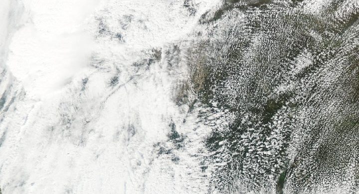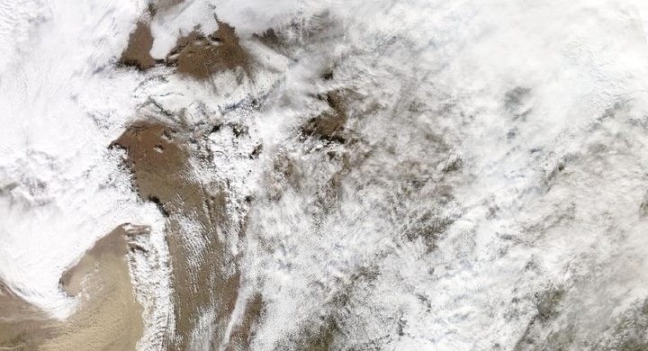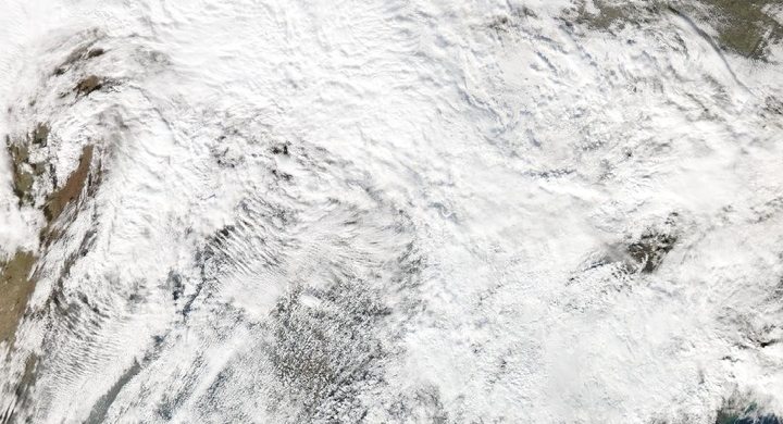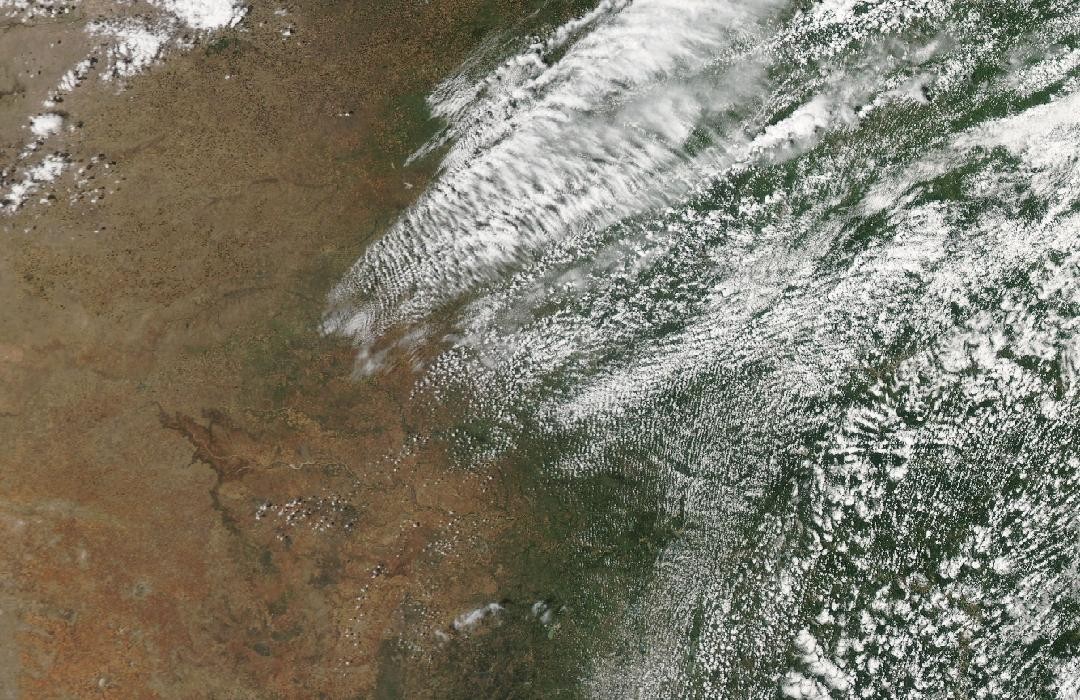
Follow the sequence
Storms form near intersecting boundaries
NWS Norman describes a nearly stationary front through central Oklahoma and a dryline advancing from the west. Strong instability developed in the warm, moist air, and thunderstorms formed near the boundary intersection late in the afternoon.
The tornado changes width and direction
The El Reno tornado developed around 18:03 CDT. The official reconstruction documents turns, acceleration, expansion and a later loop near Interstate 40. A constant-speed arrow would misrepresent this rapidly changing track.
Flooding outlasts the tornado
Storms repeatedly crossed parts of the Oklahoma City area during the evening and overnight. Flood impacts continued into 1 June, including a separate fatal flood in Okfuskee County described by NWS Norman.
Basis: NOAA National Weather Service, Norman [1] · NOAA National Weather Service, Norman [2]
Selected observations & analyses
These entries preserve the source’s reported quantities or analyses. They are not a newly processed observational dataset.
| Evidence | Reported value or finding | Provenance |
|---|---|---|
| Maximum surveyed width | 4,576 yards / about 4.18 km | NWS Norman event table for the El Reno tornado; a maximum footprint dimension, not the diameter of a uniformly rotating solid cylinder. |
| Official damage-based rating | EF3 | NWS Norman final event table; this ground-damage rating must be distinguished from intense winds sampled remotely by research mobile radars. |
| Tornado path length | 16 miles / about 26 km | NWS Norman reconstruction; the path included marked changes of motion, so its length cannot be replaced by a simple start-to-end displacement. |
The atmospheric mechanism
The intersection of a front and dryline helped focus initiation, while moisture, instability and shear supported organized storms. Within the tornado, smaller vortices and changing motion complicated the surface wind field. Radar measures motion toward or away from the instrument within a sampling volume, at an elevation above the ground. A remotely sampled extreme and a damage-based rating can therefore answer different questions without being interchangeable estimates of one uniform surface wind.
Later, the arrangement of storms mattered more for rainfall than the size of the earlier tornado. When new cells form upstream and cross an already wet area, their individual rain periods accumulate. The resulting flood depends on that repeated delivery and on runoff pathways. A storm can cease producing a tornado yet remain dangerous as a rain producer; ending one observation sequence should not erase the next.
Basis: NOAA National Weather Service, Norman [1] · NOAA National Weather Service, Norman [2]
What the evidence does not establish
This case does not estimate a surface wind from a research radar velocity, or present the maximum tornado width as a safe-distance rule. Reported storm totals and damage dimensions describe particular places and intervals. The remote-sensing lab demonstrates beam geometry with synthetic inputs; it does not reconstruct El Reno’s mobile-radar scans or simulate tornado motion.
Keep wind sampling, damage rating and rainfall accumulation separate, and follow the chronology far enough to see the hazard change after the tornado ends.
Sources & provenance
- The May 31–June 1, 2013 Tornado and Flash Flooding Event NOAA National Weather Service, Norman · Publication date not statedReference only; original paraphrase; no source media reproduced.
- Storm Data and Unusual Weather Phenomena: May 2013 NOAA National Weather Service, Norman · 2013-05 reporting periodReference only; original paraphrase; no source media reproduced.
Explanations and diagrams are original educational interpretations. Source institutions have not endorsed or reviewed this publication. How we distinguish evidence from models.