Follow the sequence
A regional episode begins
NOAA’s National Centers for Environmental Information defines the broader outbreak across 25–28 April. Its multi-day account provides the regional frame; the detailed Huntsville chronology concerns only the local portion on 27 April.
Several waves cross the Tennessee Valley
NWS Huntsville identifies an early-morning wave, another from late morning into early afternoon, and a third during the afternoon and evening. Damage and interruptions from an earlier wave therefore preceded later tornadoes.
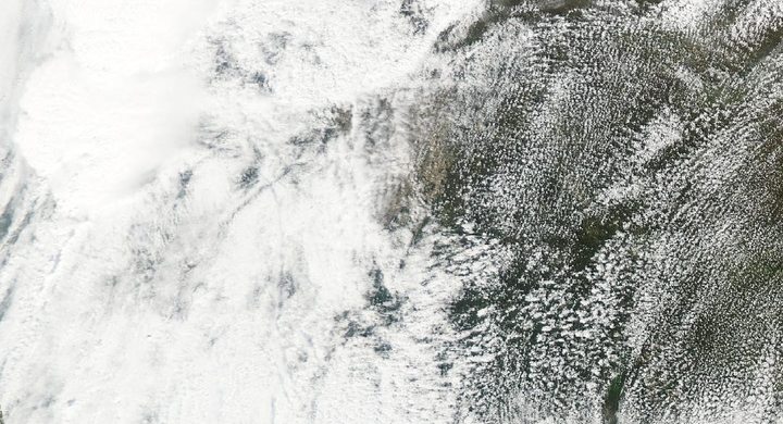
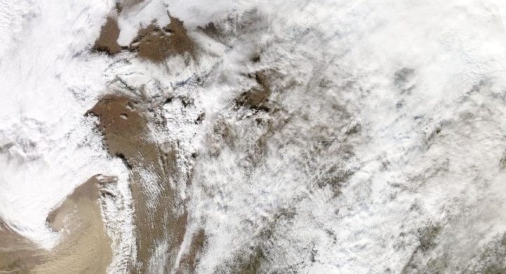
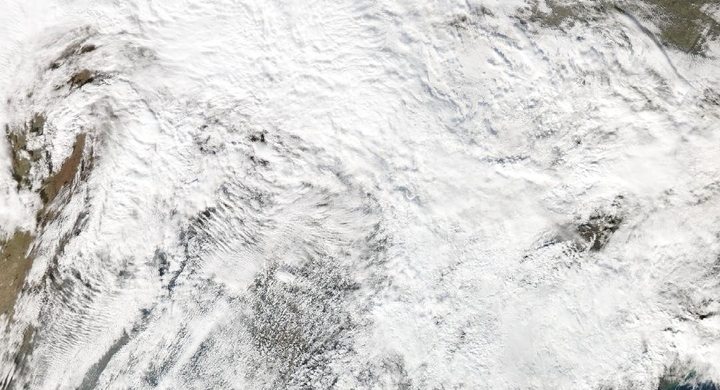
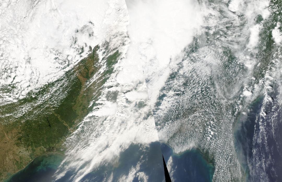
Cloud systems continue east
NOAA’s GOES-13 sequence extends from 26 through 28 April as the convective systems move across the eastern United States. The satellite sequence follows cloud evolution; the tornado catalogue comes from a separate assessment of events at the surface.
Basis: NOAA National Centers for Environmental Information [1] · NOAA National Weather Service, Huntsville [2] · NOAA National Environmental Satellite, Data, and Information Service [3]
Selected observations & analyses
These entries preserve the source’s reported quantities or analyses. They are not a newly processed observational dataset.
| Evidence | Reported value or finding | Provenance |
|---|---|---|
| Local storm sequence | Three distinct severe-weather waves on 27 April | NWS Huntsville retrospective; this is the sequence in its forecast area, not a claim that every location experienced three tornadoes. |
| Satellite record | GOES-13 imagery covering 26–28 April 2011 | NOAA NESDIS anniversary analysis; a regional cloud-top time sequence, rather than direct imagery of each ground-level tornado. |
The atmospheric mechanism
A large weather system can repeatedly replenish the ingredients consumed or rearranged by thunderstorms. Moist inflow, environmental wind shear and renewed lifting need not vanish when the first rain band passes. Cold outflow from an earlier storm can locally stabilize the surface, yet boundaries and neighboring warm air can support later development. Consequently, a pause at one site cannot be interpreted as a regional atmospheric reset.
The useful comparison is between changing storm organization and the evolving environment. A line of storms and a discrete supercell can occupy the same broad episode while posing different combinations of wind, rain and tornado hazards. In the storms lab, changing the environmental cooling rate alters the parcel’s buoyancy profile, while changing prescribed lift only changes access to that profile. Those controlled changes illustrate ingredients; they are not a reconstruction of the outbreak or a tornado predictor.
Basis: NOAA National Centers for Environmental Information [1] · NOAA National Weather Service, Huntsville [2] · NOAA National Environmental Satellite, Data, and Information Service [3]
What the evidence does not establish
Published outbreak totals differ with the dates, geographic scope and catalogue revision used. This case avoids treating an early preliminary count as a permanent total. Bright or cold cloud tops identify deep convection but do not establish tornado intensity, warning reception or the cause of damage at a particular address. Those questions require surface evidence and separate investigations.
Keep the forecast period and successive storm rounds visible in the timeline; one completed storm is not evidence that the whole episode has ended.
Sources & provenance
- On This Day: 2011 Tornado Super Outbreak NOAA National Centers for Environmental Information · 2021-04-27, updatedReference only; original paraphrase; no source media reproduced.
- 4/27/2011 Tornado Outbreak: Text Summary NOAA National Weather Service, Huntsville · Publication date not statedReference only; original paraphrase; no source media reproduced.
- Revisiting the April 2011 Tornado Super Outbreak from Orbit NOAA National Environmental Satellite, Data, and Information Service · 2021-04-26Reference only; original paraphrase; no source media reproduced.
Explanations and diagrams are original educational interpretations. Source institutions have not endorsed or reviewed this publication. How we distinguish evidence from models.