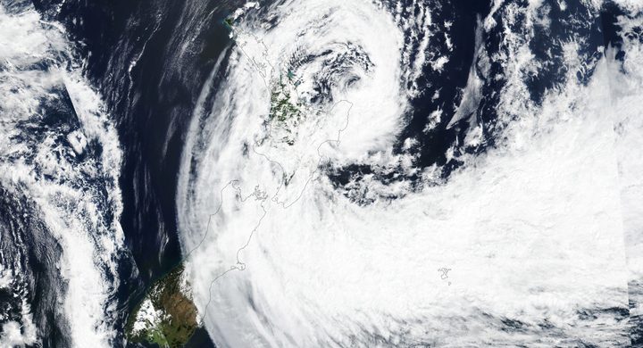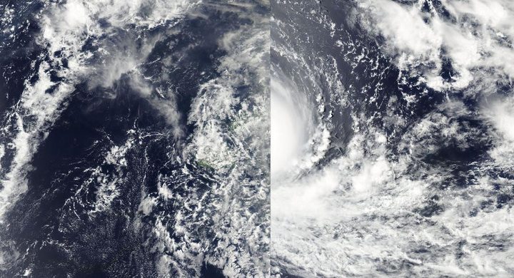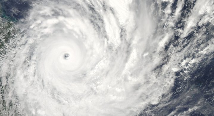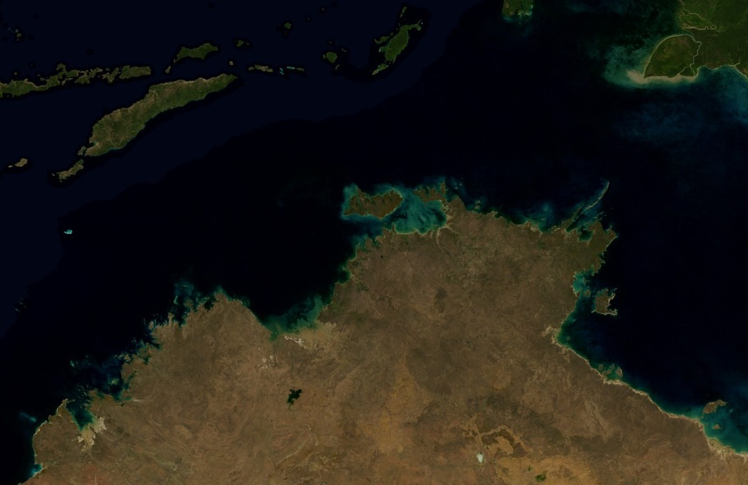
Follow the sequence
A depression in the Arafura Sea
The Bureau of Meteorology identifies the first detection of Tracy’s precursor depression on 20 December northeast of Darwin.
Near Bathurst Island
The slowly moving, intensifying system passed close to Bathurst Island on 23–24 December before its sharp turn toward the east-southeast.
The threat turns toward Darwin
Library and Archives NT records the change toward Darwin on the morning of 24 December and strengthening wind and rain later that day.
The eye crosses the city
National Archives records place the destructive passage during Christmas morning. The airport recorded a 217 km/h gust before its wind instrument failed; the eye passed over the airport and northern suburbs around 04:00 local time.
Basis: Australian Bureau of Meteorology [1] · National Archives of Australia [2] · Library and Archives NT [3]
Selected observations & analyses
These entries preserve the source’s reported quantities or analyses. They are not a newly processed observational dataset.
| Evidence | Reported value or finding | Provenance |
|---|---|---|
| Last extreme airport gust | 217 km/h before instrument failure | Darwin Airport anemometer, reported by the Bureau and National Archives; a measured gust, not a verified final storm maximum. |
| Compact wind footprint | Gale-force wind radius about 50 km at landfall | Bureau of Meteorology historical assessment; an approximate storm-scale radius, not the distance of damaging conditions from each building. |
The atmospheric mechanism
Size and intensity describe different aspects of a cyclone. A compact circulation can contain very strong winds within a narrow area, so a small change in track can change which neighborhoods encounter its core. The broad sky appearance or modest geographical span of the storm is therefore a poor proxy for the strongest local conditions. Tracy’s late turn matters because it aligned the concentrated circulation with a populated city.
A falling pressure trace, rising gusts and a temporary lull can help identify the passage of a cyclone’s structure, but each instrument samples only its own site. In a small cyclone, nearby observations may differ sharply. Once an anemometer breaks, its surviving peak becomes a lower bound on what that instrument successfully recorded, not proof that the atmosphere never produced anything stronger. Later estimates can use other evidence, but they must be labelled as estimates and should not overwrite the measurement’s actual limitations.
Basis: Australian Bureau of Meteorology [1] · National Archives of Australia [2] · Library and Archives NT [3]
What the evidence does not establish
The 217 km/h value is a gust rather than a sustained wind average. The case does not repeat unofficial higher speeds as observations, and it does not infer the strength of every gust from building damage. Historical accounts differ in some impact totals and classification details; the meteorological explanation here relies on the documented track, approximate size and explicit instrument failure. Times refer to Darwin local time.
A compact storm can concentrate severe winds over a small area; a measurement ending in instrument failure records a limit of the observing system as well as the weather.
Sources & provenance
- Severe Tropical Cyclone Tracy Australian Bureau of Meteorology · Historical event account; publication date not statedReference only; original paraphrase; no source media reproduced.
- Government records about the Northern Territory: Cyclone Tracy, 1974 National Archives of Australia · Research guide; publication date not verifiedReference only; original paraphrase; no source media reproduced.
- Cyclone Tracy Library and Archives NT · Historical exhibition; publication date not statedReference only; original paraphrase; no source media reproduced.
Explanations and diagrams are original educational interpretations. Source institutions have not endorsed or reviewed this publication. How we distinguish evidence from models.