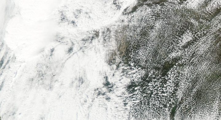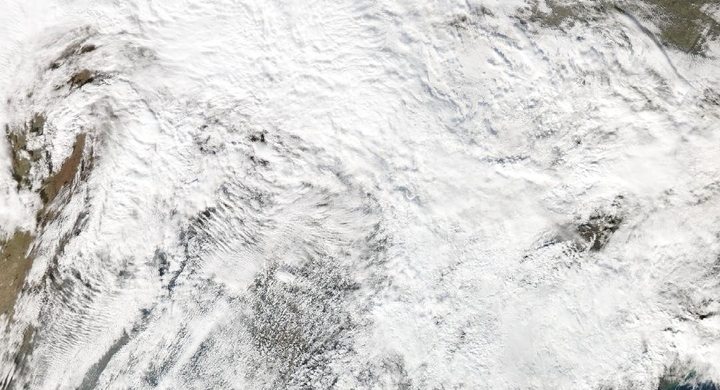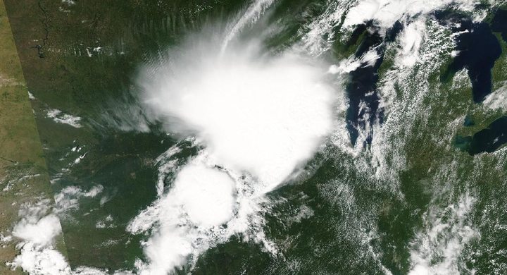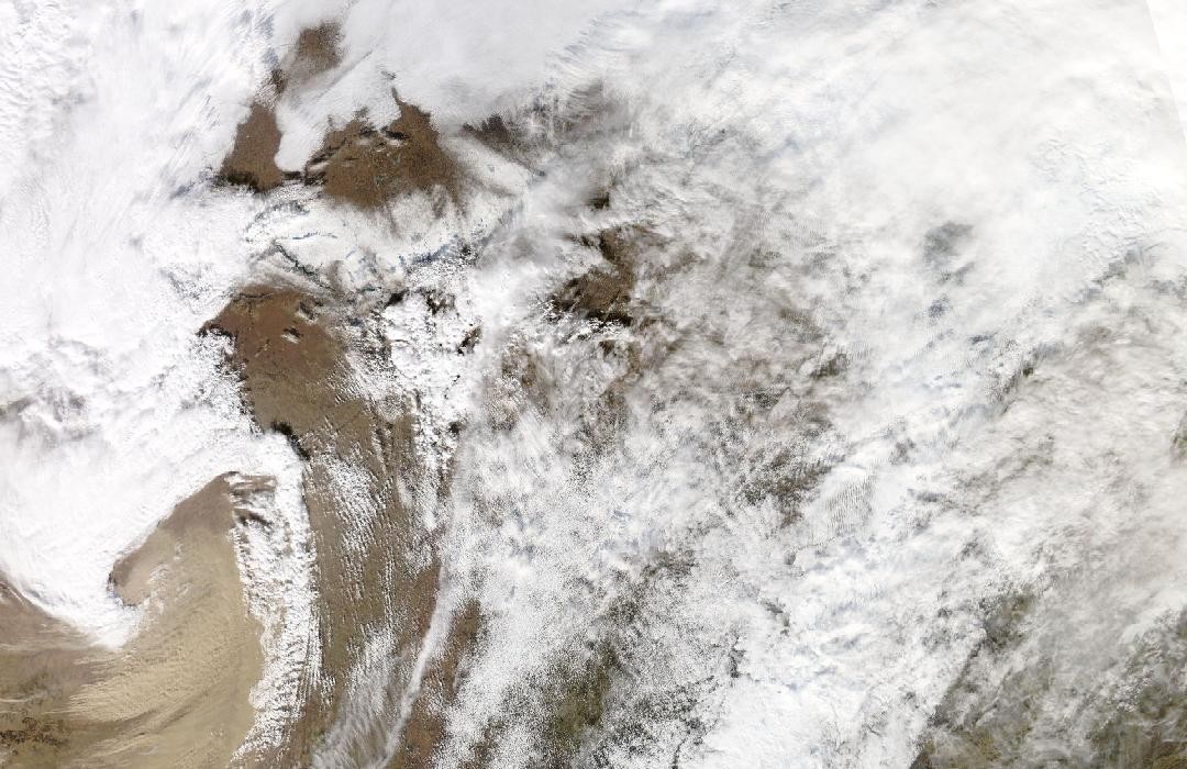
Follow the sequence
Warm air precedes a strong storm system
NWS Des Moines describes a low-pressure system moving from the Colorado Rockies toward the Upper Midwest. Unseasonably warm air and strong environmental winds preceded the line of severe thunderstorms.
A convective line produces tornadoes and damaging gusts
The line crossed Iowa with numerous short tornado tracks and damaging thunderstorm winds. The survey later established a large statewide tornado count, which is different from the number of preliminary sightings or warnings.
Strong winds continue beyond the convective line
Overnight observations and the NWS Chicago report document strong non-thunderstorm winds into 16 December. In northern Illinois and northwestern Indiana, the damaging winds described by that office were not generated by thunderstorms.
Basis: NOAA National Weather Service, Des Moines [1] · NOAA National Weather Service, Chicago [2] · NOAA National Weather Service, Omaha/Valley [3]
Selected observations & analyses
These entries preserve the source’s reported quantities or analyses. They are not a newly processed observational dataset.
| Evidence | Reported value or finding | Provenance |
|---|---|---|
| Assessed Iowa tornado count | 63 confirmed tornadoes, including 21 rated EF2 | NWS Des Moines updated event summary; a statewide post-survey count for 15 December, rather than the number of individual storm reports. |
| Non-thunderstorm airport gust | 74 mph / about 119 km/h at Des Moines International Airport | NWS Des Moines event assessment identifies this as a non-thunderstorm gust after the line, not a tornado wind measurement. |
| A later local observation | 68 mph / about 109 km/h at Waukegan at 02:31 CST on 16 December | NWS Chicago compilation of high-wind observations; labelled as part of the non-thunderstorm wind episode. |
The atmospheric mechanism
A pressure gradient associated with a strong cyclone accelerates the broader airflow. Separately, thunderstorms generate downdrafts, outflow boundaries and smaller circulations. When both processes occur in the same episode, their wind footprints and timing can overlap. Calling every gust a downburst would ignore the observations outside the convective line; calling every gust a background wind would ignore the concentrated storm-scale damage.
The winter date makes the event striking but does not supply its mechanism. Moisture, buoyancy, shear and the forcing of the strong system still need to be examined. An apparently modest buoyancy profile can coexist with strong winds and organized convection. The storms lab separates some of those ingredients, but its prescribed shear is not converted into a wind-gust or tornado prediction, and its buoyancy integral cannot partition observed damage between the competing processes.
Basis: NOAA National Weather Service, Des Moines [1] · NOAA National Weather Service, Chicago [2] · NOAA National Weather Service, Omaha/Valley [3]
What the evidence does not establish
The surveyed tornado count may be revised as evidence improves, and a regional maximum should not be applied to every community. Station exposure and instrument sampling differ. This case uses the agencies’ classification of thunderstorm versus non-thunderstorm winds rather than attempting to diagnose that distinction from the size of a reported gust alone.
Attach both a time and a mechanism to wind reports; similar gust speeds can arise inside a thunderstorm line or from the larger weather system.
Sources & provenance
- Severe Storms and Extreme Winds — December 15, 2021 NOAA National Weather Service, Des Moines · Publication date not statedReference only; original paraphrase; no source media reproduced.
- December 15–16, 2021: Record Warmth Accompanied by Strong, Damaging Winds NOAA National Weather Service, Chicago · Publication date not statedReference only; original paraphrase; no source media reproduced.
- Tornadoes, Derecho, Record Temperatures, Dust, Smoke, and Snow of December 15, 2021 NOAA National Weather Service, Omaha/Valley · Publication date not statedReference only; original paraphrase; no source media reproduced.
Explanations and diagrams are original educational interpretations. Source institutions have not endorsed or reviewed this publication. How we distinguish evidence from models.