Follow the sequence
The first icing episode begins
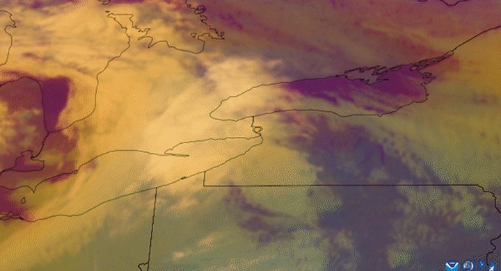
Hydro-Québec’s retrospective places the first principal freezing-rain period across the evening of 5 January and the following morning. Water arriving as liquid began accumulating as ice on exposed objects.
Further rounds add to existing ice
The utility identifies additional freezing-rain episodes on 7–8 January and from the morning of 8 January into 9 January. New precipitation loaded surfaces that were already carrying ice.
Precipitation changes, impacts persist
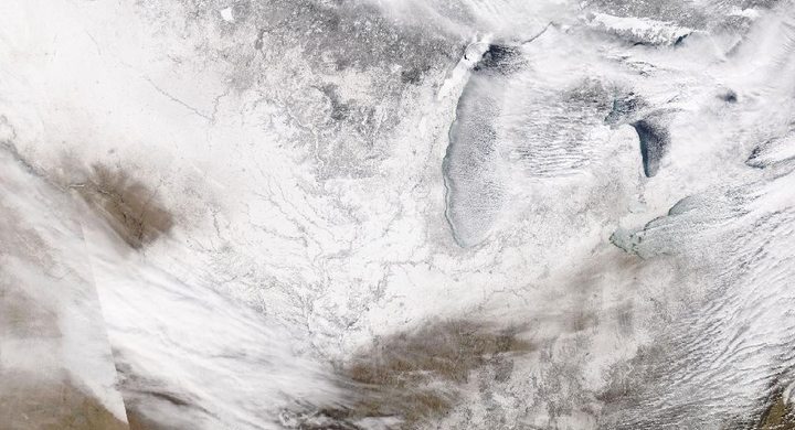
Hydro-Québec’s chronology marks the end of rain with colder conditions and snow. That meteorological transition did not immediately remove accumulated ice or restore damaged transmission and distribution equipment.
Basis: Natural Resources Canada [1] · Hydro-Québec [2] · Hydro-Québec [3]
Selected observations & analyses
These entries preserve the source’s reported quantities or analyses. They are not a newly processed observational dataset.
| Evidence | Reported value or finding | Provenance |
|---|---|---|
| Precipitation duration | More than 80 hours of freezing rain and drizzle over the episode | Natural Resources Canada’s 1998 forest report; the precipitation was not continuous throughout the entire interval. |
| Water-equivalent total | 73–108 mm of precipitation in the affected region during 5–10 January | Natural Resources Canada report, including mostly freezing rain and ice pellets with some snow; not a uniform glaze thickness. |
| Repeated episodes | Three main freezing-rain episodes | Hydro-Québec’s event explanation, drawing on Environment Canada’s analysis. |
The atmospheric mechanism
A warm layer above the ground can melt snow into raindrops. If the colder layer beneath is too shallow to refreeze those drops into ice pellets, they can remain liquid while cooling below freezing. On contact with sufficiently cold objects they form glaze. Surface temperature alone therefore cannot tell an observer whether approaching precipitation will be snow, pellets or freezing rain.
Accumulation also depends on how long the vertical arrangement persists. Successive moisture-bearing systems can renew the rain without sweeping out the cold air near the surface. The resulting mechanical load is not simply the rainfall total pasted onto every object: wind, object shape, surface temperature, runoff and the freezing process affect where ice grows. Branches and cables provide small collecting surfaces that can nonetheless carry substantial additional mass.
Basis: Natural Resources Canada [1] · Hydro-Québec [2] · Hydro-Québec [3]
What the evidence does not establish
Water-equivalent precipitation, measured ice accretion and damage are distinct observations. This account preserves that distinction and does not convert the regional precipitation range into a cable coating thickness. The selected reports describe the broad episode, not continuous temperature profiles at every town. A damaged tree alone cannot establish whether a particular hour brought freezing rain or wet snow.
Look above the surface temperature and follow repeated precipitation episodes; the vertical melting layer and accumulated loading explain different parts of an ice storm.
Sources & provenance
- The State of Canada’s Forests 1997–1998: ice storm effects Natural Resources Canada · 1998Reference only; original paraphrase; no source media reproduced.
- Extraordinary weather event Hydro-Québec · Publication date not stated; retrospective event accountReference only; original paraphrase; no source media reproduced.
- The January Ice Storm: timeline Hydro-Québec · Publication date not stated; retrospective event accountReference only; original paraphrase; no source media reproduced.
Explanations and diagrams are original educational interpretations. Source institutions have not endorsed or reviewed this publication. How we distinguish evidence from models.