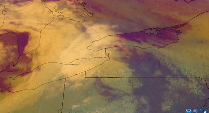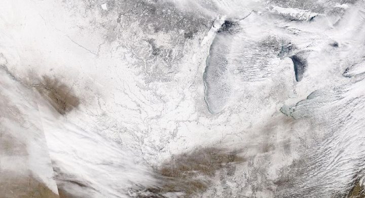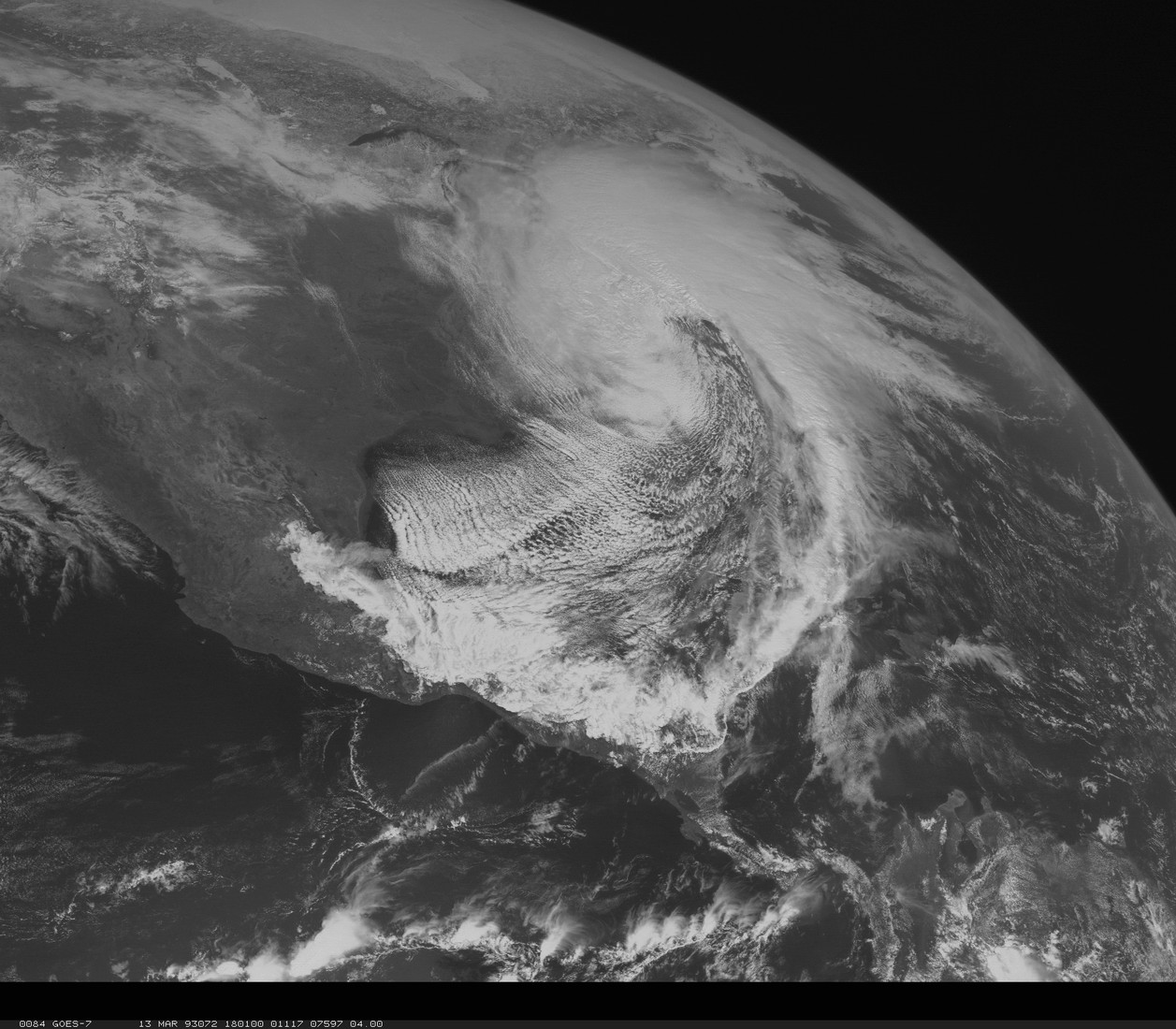
Follow the sequence
A Gulf low intensifies
NWS Wilmington describes low pressure forming along a nearly stationary front near the Texas Gulf coast. A strong upper-level jet and pronounced temperature contrast supported development as the system crossed the Gulf.
Interior cold air meets the storm
After reaching the Florida Panhandle shortly after midnight, the low moved inland. Heavy snow spread through Alabama, Georgia and the western Carolinas as moisture and ascent encountered the colder inland air.
The snow-producing system moves northeast
By 12:00 UTC, the NWS Morristown account places the intense surface storm near the New England coast while cold high pressure settled into the Tennessee Valley and southern Appalachians.
Basis: NOAA National Weather Service Wilmington [1] · NOAA National Weather Service Huntsville [2] · NOAA National Weather Service Morristown [3]
Selected observations & analyses
These entries preserve the source’s reported quantities or analyses. They are not a newly processed observational dataset.
| Evidence | Reported value or finding | Provenance |
|---|---|---|
| Tennessee Valley snowfall | 13.0 inches at Birmingham and 20.0 inches at Chattanooga over 12–14 March | NWS Huntsville’s event snowfall table; these are separate station totals. |
| High-elevation snow | An estimated 40–60 inches on the highest peaks of Sevier County, Tennessee | NWS Morristown historical snow account; mountain range rather than a single city observation. |
The atmospheric mechanism
An extratropical cyclone draws energy from horizontal temperature contrasts. In this case the low developed where Gulf moisture lay close to colder continental air, and the upper-level flow supported strong ascent. The same broad system could therefore have very different precipitation on different sides. The snow footprint cannot be inferred just from the low’s central pressure or a single satellite image of its cloud shield.
Mountains add another source of lifting when moist flow meets rising terrain. Elevation also changes the temperature through which snow falls, helping explain why mountain accumulations can exceed nearby lowland totals. Those effects are superimposed on the storm’s larger circulation. An idealised mountain experiment can isolate ascent and drying, but it cannot reproduce this event’s changing winds, cloud microphysics or deposition on individual slopes.
Basis: NOAA National Weather Service Wilmington [1] · NOAA National Weather Service Huntsville [2] · NOAA National Weather Service Morristown [3]
What the evidence does not establish
This entry concentrates on the winter side of a system that also produced other hazards. Reported snowfall totals have different site exposures, and the high-mountain range is not an areal mean. Comparing snow depth with rainfall requires liquid-equivalent measurements; a fixed ten-to-one conversion would introduce unsupported precision. No claim is made that every part of the Southeast experienced the same precipitation phase.
Read the cold side of a cyclone together with terrain and moisture supply; a southerly latitude alone does not determine precipitation type.
Sources & provenance
- Superstorm of 1993: meteorological history NOAA National Weather Service Wilmington · Publication date not stated; retrospective event accountReference only; original paraphrase; no source media reproduced.
- Super storm March 1993 NOAA National Weather Service Huntsville · Publication date not stated; retrospective event accountReference only; original paraphrase; no source media reproduced.
- Top snowfalls: March 12–14, 1993 NOAA National Weather Service Morristown · Publication date not stated; retrospective event accountReference only; original paraphrase; no source media reproduced.
Explanations and diagrams are original educational interpretations. Source institutions have not endorsed or reviewed this publication. How we distinguish evidence from models.