Follow the sequence
Rapid strengthening continues
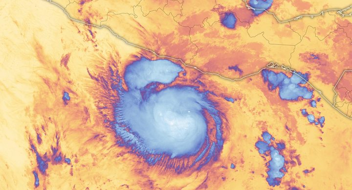
NHC estimates that Dorian had reached 115 knots by 00:00 UTC on 31 August. Its small, well-defined eye became more distinct as the cyclone strengthened further.
Great Abaco landfall
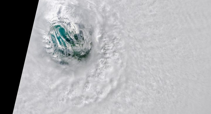
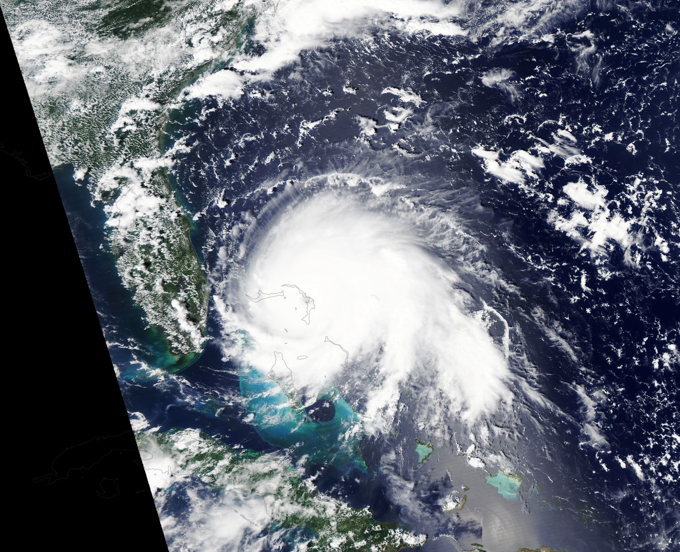
The hurricane reached Elbow Cay at 16:40 UTC with estimated maximum sustained winds of 160 knots and a minimum pressure of 910 hPa.
A crawl across Grand Bahama
The eye reached South Riding Point near 02:15 UTC with estimated 155-knot winds and exited the island’s northern coast about six hours later.
Northward escape begins
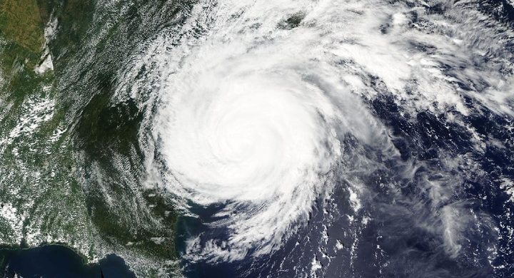
The evolving flow associated with a trough over the eastern United States favored a north-northwestward and then northward motion, keeping the core offshore of Florida during 3–5 September.
Selected observations & analyses
These entries preserve the source’s reported quantities or analyses. They are not a newly processed observational dataset.
| Evidence | Reported value or finding | Provenance |
|---|---|---|
| Great Abaco landfall estimate | 160 kt; 910 hPa | NHC best-track values for 16:40 UTC on 1 September 2019; intensity estimates supported by reconnaissance, not island-wide measurements. |
| Duration over Great Abaco | About three days of at least tropical-storm-force winds | NHC event narrative describes prolonged exposure on Great Abaco; this is an approximate island-scale duration, not a continuous record for every address. |
The atmospheric mechanism
NHC identifies weakening high pressure north of Dorian and a collapse of the steering currents. The wider atmospheric flow transports a cyclone, but its internal rotation can remain intense when that transport becomes weak. On a satellite loop the center may barely move while clouds race around the eye. Measuring only the center’s displacement would therefore miss the force and persistence of the winds experienced underneath the circulation.
Slow movement matters to the ocean as well as to people on land. Strong winds and waves can keep acting on an exposed shore, while mixing and upwelling beneath the cyclone bring cooler water toward the surface. That ocean response may reduce the energy available to the storm. The NHC report links Dorian’s later weakening partly to land interaction and ocean cooling. A weakening maximum, however, does not undo the water already displaced or eliminate continuing exposure while the circulation remains nearby.
What the evidence does not establish
The values are a post-event synthesis of incomplete observations. The apparent diameter of a visible eye is not itself a wind-speed gauge. Prolonged exposure varied around each island with the track, shoreline orientation and storm structure. This case does not assign one inundation height to all of the Bahamas or infer local flood depth from the duration statement.
Read center motion and rotating wind separately; a stationary-looking hurricane can sustain destructive conditions over the same islands for a very long time.
Sources & provenance
- Tropical Cyclone Report: Hurricane Dorian NOAA National Hurricane Center · 2020-04-20Reference only; original paraphrase; no source media reproduced.
Explanations and diagrams are original educational interpretations. Source institutions have not endorsed or reviewed this publication. How we distinguish evidence from models.