Follow the sequence
Persistent rain begins
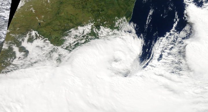
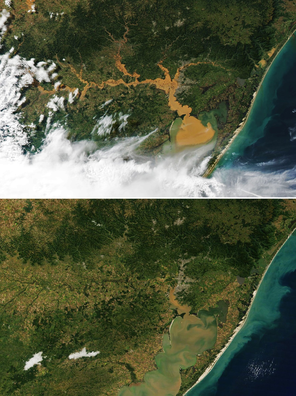
INMET’s account, relayed by WMO, identifies persistent heavy rain across much of Rio Grande do Sul from 27 April.
Emergency mapping is activated
Copernicus EMS activation EMSR720 began producing mapping products for flood extent and damage assessment.
The rain threat continues
INMET issued another storm alert as heavy precipitation and high hydrological risk persisted. This was an operational warning at the time.
A provisional account is published
WMO summarized the developing event. Our window ends at that report; later rainfall and flood impacts continued beyond it.
Basis: World Meteorological Organization, citing INMET [1] · RBRH peer-reviewed hydrological study [2]
Selected observations & analyses
These entries preserve the source’s reported quantities or analyses. They are not a newly processed observational dataset.
| Evidence | Reported value or finding | Provenance |
|---|---|---|
| Bento Gonçalves accumulation | 543.4 mm reported in the early episode | INMET information summarized by WMO; reported event total, not an hourly rate. |
| Porto Alegre three-day rainfall | 258.6 mm | WMO citing INMET; three-day accumulation as reported, exact start/end hours not provided. |
| Mapping product | EMSR720 activated 3 May | Copernicus emergency mapping activation identified in the WMO event account. |
The atmospheric mechanism
INMET’s explanation combines persistent frontal and unstable conditions with moisture transport from the Amazon and a strong temperature contrast across the region. The report also discusses the background influence of El Niño. These operate at different scales: a climate pattern changes the setting, while the actual weather systems deliver and focus the rain.
A useful reading method is to trace the supply, the lifting zone and the system’s movement separately. If the moisture supply persists while the lifting zone changes little, repeated rain can accumulate over the same drainage area. In the front lab, moving the boundary changes which hypothetical location lies beneath ascent. The real event involved interacting systems and terrain, so its observed totals cannot be recovered from that two-dimensional illustration.
Basis: World Meteorological Organization, citing INMET [1] · RBRH peer-reviewed hydrological study [2]
What the evidence does not establish
The WMO article is a dated account of an unfolding disaster. Its rainfall values are retained with their stated windows; an exact hourly interval is not invented where the report does not supply one. Its description of El Niño is not a quantitative event-attribution analysis. Flood extent, depth and duration require hydrological observations beyond the rainfall values listed here.
When a regional pattern persists, ask how long moisture delivery and ascent overlap. Keep evolving operational reports dated so later knowledge is not mistaken for information available at the start.
Sources & provenance
- El Niño-linked rains trigger devastation in Brazil World Meteorological Organization, citing INMET · 2024-05-07; updated 2024-05-08Reference only; original paraphrase; no source media reproduced.
- Unprecedented April-May 2024 rainfall in South Brazil sets new record RBRH peer-reviewed hydrological study · 2024Reference only; original paraphrase; no source media reproduced.
Explanations and diagrams are original educational interpretations. Source institutions have not endorsed or reviewed this publication. How we distinguish evidence from models.