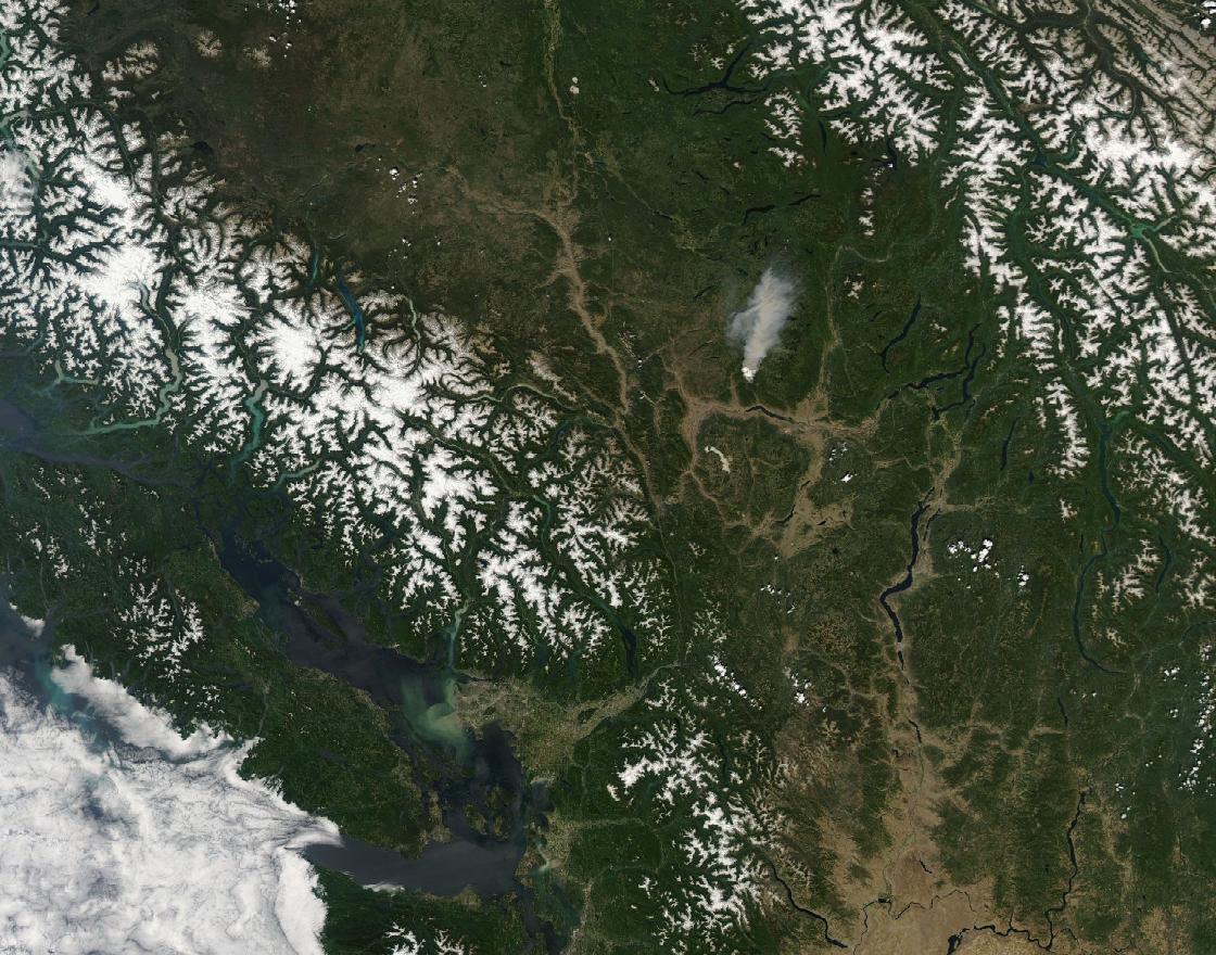
Follow the sequence
The regional heat episode develops
Published meteorological analyses define an exceptional Pacific Northwest episode across 25–30 June, with pronounced warming over several days.
Regional city records peak
Portland and Seattle reached exceptional maxima within the same regional episode. The heat field was broad but not spatially uniform.
Lytton reaches 49.6°C
The accepted Canadian national temperature record was observed at Lytton. This is a station air-temperature value on a specified date, not an area average.
Basis: White et al., Nature Communications [1] · Mass et al., Weather and Forecasting [2] · Environment and Climate Change Canada [3]
Selected observations & analyses
These entries preserve the source’s reported quantities or analyses. They are not a newly processed observational dataset.
| Evidence | Reported value or finding | Provenance |
|---|---|---|
| Lytton maximum | 49.6°C on 29 June | Environment and Climate Change Canada reporting; also examined in White et al. (2023). |
| Portland maximum | 46.7°C / 116°F | Mass et al. meteorological analysis of the 25–30 June event; rounding differs by unit. |
| Analysis basis | Station records and atmospheric circulation analysis | Peer-reviewed event studies; the ridge and parcel histories are scientific analyses, distinct from the thermometer readings. |
The atmospheric mechanism
Research identifies an extreme ridge and a combination of atmospheric transport, descent and surface processes. Descending unsaturated air warms by compression, and an anomalously warm lower atmosphere changes the starting point for daytime heating. Terrain and wind direction further shape local temperatures. The phrase “heat dome” is a useful visual shorthand, but it does not replace these separate mechanisms.
Consider a controlled comparison: the same amount of sunshine over a cooler versus a much warmer air mass. The second situation can reach a higher maximum even without a brighter Sun. Similarly, downsloping flow can change temperature without changing the day’s solar input. These comparisons help read the event, but an educational parcel calculation cannot allocate a precise percentage of Lytton’s observed maximum to each process.
Basis: White et al., Nature Communications [1] · Mass et al., Weather and Forecasting [2] · Environment and Climate Change Canada [3]
What the evidence does not establish
The weather record and the later fire are distinct kinds of evidence; the temperature observation alone does not identify any fire’s ignition source. Event-attribution results depend on the chosen region, duration and statistical measure. This page does not translate a single record into a recurrence interval or claim that a new maximum is physically impossible elsewhere.
Use record-breaking heat to ask what changed in the air mass and circulation, as well as at the surface. A past local record is a historical observation, not a hard physical ceiling.
Sources & provenance
- The unprecedented Pacific Northwest heatwave of June 2021 White et al., Nature Communications · 2023Reference only; original paraphrase; no source media reproduced.
- The Pacific Northwest Heat Wave of 25–30 June 2021: Synoptic/Mesoscale Conditions and Climate Perspective Mass et al., Weather and Forecasting · 2024Reference only; original paraphrase; no source media reproduced.
- Canada’s National Adaptation Strategy Environment and Climate Change Canada · 2023Reference only; original paraphrase; no source media reproduced.
Explanations and diagrams are original educational interpretations. Source institutions have not endorsed or reviewed this publication. How we distinguish evidence from models.