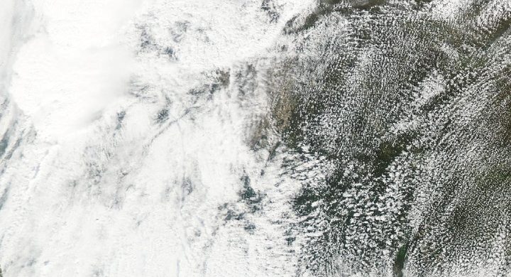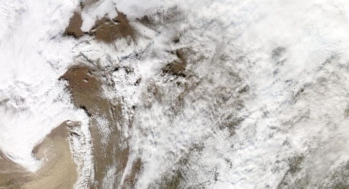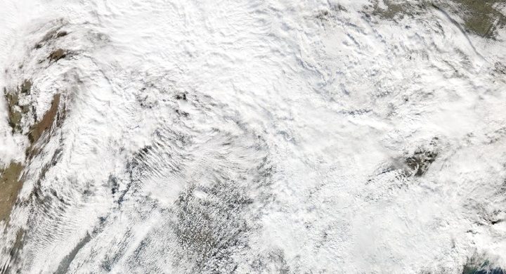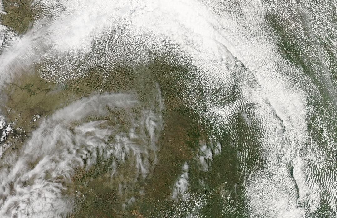
Follow the sequence
A violent tornado reaches Greensburg
NWS Wichita’s historical account describes the evening tornado that devastated Greensburg. The event became the first tornado assigned EF5 after the United States introduced the Enhanced Fujita scale earlier in 2007.
Regional storms continue
The NWS Dodge City event archive lists another day with numerous tornado and hail reports in western Kansas. These are subsequent storms in the episode, not a continuation of the Greensburg tornado itself.
The broader active period persists
The same archive records additional tornado and hail reports on 6 May. The multi-day context demonstrates that local cleanup and a continuing regional severe-weather environment can overlap.
Basis: NOAA National Weather Service, Wichita [1] · NOAA National Weather Service, Dodge City [2] · NOAA National Weather Service, Dodge City [3]
Selected observations & analyses
These entries preserve the source’s reported quantities or analyses. They are not a newly processed observational dataset.
| Evidence | Reported value or finding | Provenance |
|---|---|---|
| Maximum assessed intensity | EF5; estimated peak wind about 205 mph / 330 km/h | NWS Wichita historical summary; a damage-based wind estimate associated with the highest rating, not an instrument reading across the town. |
| Successive days of reports | Tornado and hail reports listed on 4, 5 and 6 May | NWS Dodge City event archive; report counts are not treated here as a fully deduplicated tally of distinct tornadoes. |
The atmospheric mechanism
Sunset removes direct solar heating, but it does not instantly remove warm, moist inflow, wind shear or instability that already exists. Thunderstorms can continue to ingest air from a broad reservoir, and winds above the surface can support organized convection after dark. The Greensburg case makes the distinction between the daily heating cycle and the actual thermodynamic and wind profiles especially useful.
A nighttime photograph is also a selective observation. Lightning may illuminate a cloud or funnel for a fraction of a second, while rain and darkness conceal other parts of the circulation. Surveyed damage adds evidence that the camera cannot provide, but its interpretation depends on the strength and condition of affected structures. The storms lab lets readers change a simplified parcel environment and supplied lift; it has no day–night switch and cannot infer a tornado’s strength from either visibility or available energy.
Basis: NOAA National Weather Service, Wichita [1] · NOAA National Weather Service, Dodge City [2] · NOAA National Weather Service, Dodge City [3]
What the evidence does not establish
The EF5 label describes the maximum assessed intensity. It does not mean every damaged building experienced the same wind, nor that subsequent storms had the same structure. The three-day window includes nearby later severe weather; the Greensburg tornado itself lasted a small fraction of that interval. Archived local reports can contain multiple observations of one storm and should not be added as if each were a separate tornado.
Distinguish nighttime visibility from physical intensity, and distinguish one tornado’s surveyed track from the longer period of regional severe weather around it.
Sources & provenance
- Top Ten Kansas Tornadoes: May 4th, 2007, Greensburg NOAA National Weather Service, Wichita · Publication date not statedReference only; original paraphrase; no source media reproduced.
- Event Summaries: May 2007 NOAA National Weather Service, Dodge City · Publication date not statedReference only; original paraphrase; no source media reproduced.
- Greensburg: Five years after the EF5 tornado NOAA National Weather Service, Dodge City · 2012 anniversary retrospectiveReference only; original paraphrase; no source media reproduced.
Explanations and diagrams are original educational interpretations. Source institutions have not endorsed or reviewed this publication. How we distinguish evidence from models.