Follow the sequence
Cold air is established
After a strong early-February frontal passage, subfreezing conditions developed across much of west-central Texas. Low-level moisture produced areas of freezing drizzle and fog.
Liquid precipitation freezes on contact
The NWS San Angelo summary describes freezing rain in southeastern parts of its region, with some freezing rain and sleet farther north.
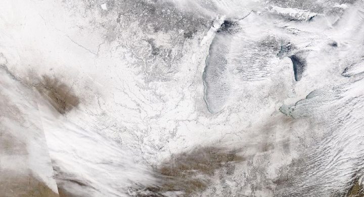
A major snow-producing disturbance
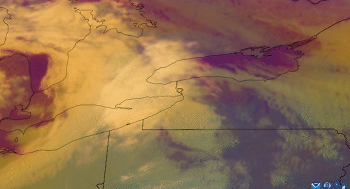
Moisture and lift accompanying an approaching upper-level system supported widespread snow. The weather type depended on the vertical thermal structure.
Repeated winter weather
Additional disturbances prolonged the episode. The selected window covers the sequence described by NWS regional event reports rather than a single uninterrupted snowfall.
Basis: NOAA National Weather Service, San Angelo [1] · NOAA National Weather Service, Lubbock [2]
Selected observations & analyses
These entries preserve the source’s reported quantities or analyses. They are not a newly processed observational dataset.
| Evidence | Reported value or finding | Provenance |
|---|---|---|
| Observed precipitation types | Snow, sleet, freezing rain and freezing fog | NWS regional summaries; occurrence varied by place and time. |
| Satellite interpretation | Approaching upper-level disturbance, 14 February | NWS Lubbock event page, GOES-16 water-vapor imagery and meteorological analysis. |
| Regional context | Subfreezing surface air across a wide area | NWS San Angelo and Lubbock post-event accounts; no synthetic station observations used. |
The atmospheric mechanism
Cold air near the ground is only part of the story. A snowflake can melt while passing through a sufficiently deep above-freezing layer. If the layer below is shallow and cold, liquid drops may become supercooled and freeze on contact with exposed objects. A deeper cold layer can allow refreezing into ice pellets. An all-cold profile favors snow, although particle growth and humidity still matter.
The episode is therefore best read as a sequence of profiles, not a map with one permanent weather label. The precipitation lab changes idealized layer temperatures to expose that sensitivity. It intentionally omits a real sounding’s fine structure and the time needed for melting and freezing. Use it to understand why adjacent locations can receive different precipitation while both surface thermometers read below zero.
Basis: NOAA National Weather Service, San Angelo [1] · NOAA National Weather Service, Lubbock [2]
What the evidence does not establish
The records cited are regional narratives, not a complete reanalysis of every Texas location. Freezing fog refers to suspended supercooled droplets depositing ice, not snow falling out of a deep cloud. Meteorology helps explain the environmental stress, but this case does not assign causes to particular power-system failures or quantify local infrastructure vulnerability.
Always inspect the full path from cloud to ground. Identical surface temperatures can accompany different precipitation types when the layers above them differ.
Sources & provenance
- February 2021 Weather Highlights NOAA National Weather Service, San Angelo · 2021-03Reference only; original paraphrase; no source media reproduced.
- Bitter cold and periods of wintry weather freeze West Texas, 10–18 February 2021 NOAA National Weather Service, Lubbock · 2021Reference only; original paraphrase; no source media reproduced.
Explanations and diagrams are original educational interpretations. Source institutions have not endorsed or reviewed this publication. How we distinguish evidence from models.