Follow the sequence
Hurricane organization
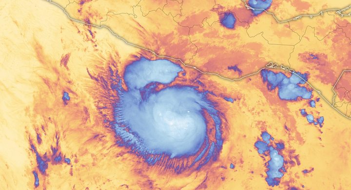
NHC estimates that Maria reached hurricane strength at 18:00 UTC while moving west-northwestward toward the Lesser Antilles.
Dominica crossing
The final analysis places landfall on Dominica at about 01:15 UTC, equivalent to the evening of 18 September locally, with estimated maximum sustained winds of 145 knots.
Peak, then a larger eyewall
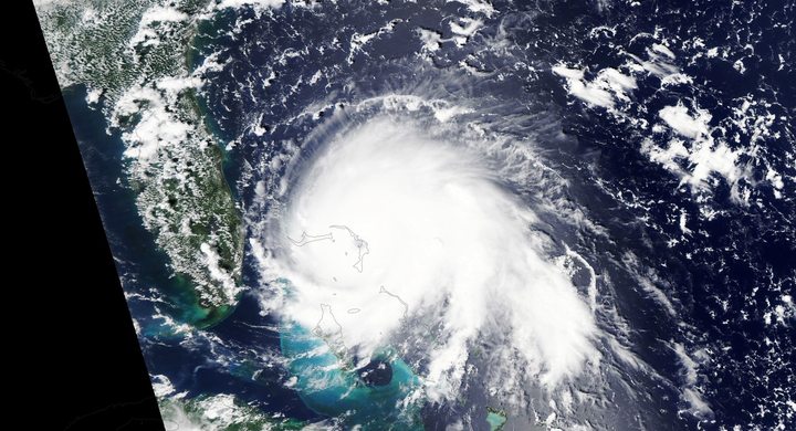
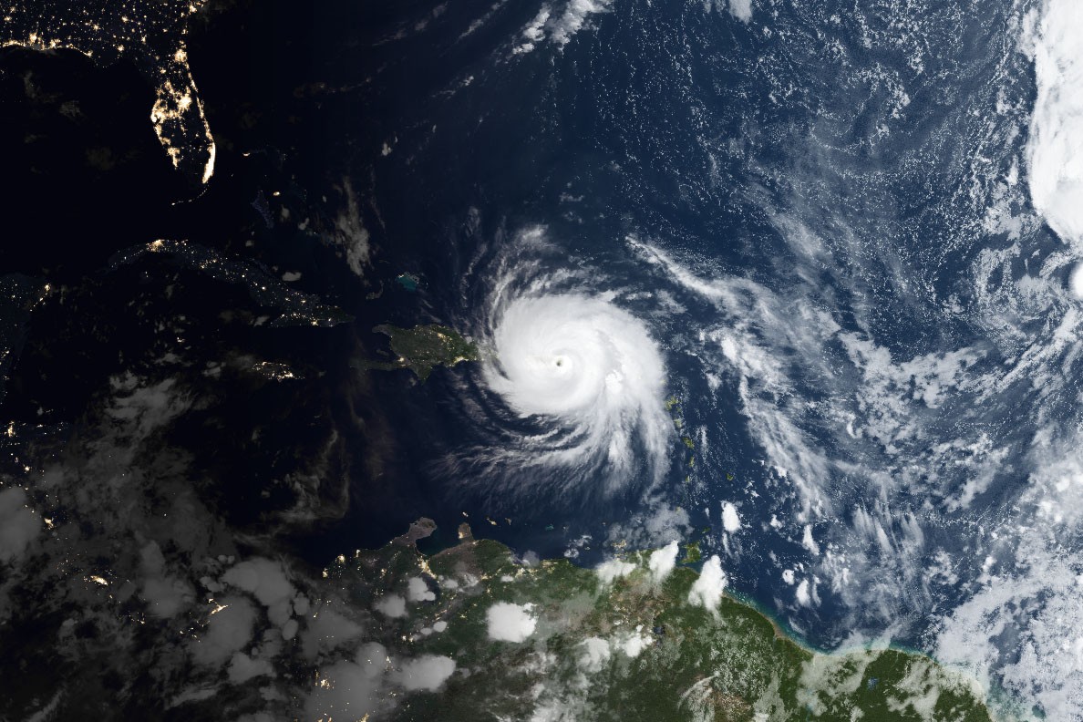
Maria reached its analyzed 150-knot peak near 03:00 UTC south of St. Croix. An eyewall replacement followed before landfall near Yabucoa, Puerto Rico, at 10:15 UTC with an estimated intensity of 135 knots.
Basis: NOAA National Hurricane Center [1] · NOAA National Hurricane Center [2]
Selected observations & analyses
These entries preserve the source’s reported quantities or analyses. They are not a newly processed observational dataset.
| Evidence | Reported value or finding | Provenance |
|---|---|---|
| Analyzed rapid strengthening | 65 kt increase in 24 hours | NHC post-event assessment of the intensification on 18 September 2017; a change in estimated maximum sustained wind, not storm travel speed. |
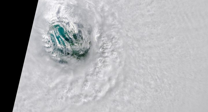
| Eye structure before Puerto Rico | Diameter increased from about 9 to 28 nautical miles | NHC analysis of the eyewall replacement early on 20 September; an approximate structural change, not an island-wide measured wind field. |
The atmospheric mechanism
NHC describes warm sea surfaces and light vertical wind shear during Maria’s rapid strengthening. Weak shear helps keep the deep convection and low-level circulation aligned. Rising moist air releases latent heat as water condenses, and organized inflow can reinforce the circulation. This is a process with feedbacks, not a fixed temperature rule: warm ocean water by itself does not determine how strong a particular storm will become or how fast it will strengthen.
An eyewall replacement creates a second ring of strong convection outside the original eye. As that outer ring becomes dominant, the inner wind maximum may weaken and spread outward. Maria makes this scale distinction concrete. The strongest analyzed wind at Puerto Rico was below its earlier peak, yet the larger eyewall exposed a wider area to intense winds. Island terrain further complicates what a station records: exposure, elevation and shelter differ over short distances, so a regional intensity estimate cannot substitute for a local wind observation.
Basis: NOAA National Hurricane Center [1] · NOAA National Hurricane Center [2]
What the evidence does not establish
NHC’s 145-knot Dominica estimate differs from the earlier operational update, which reported about 160 mph. The final report is used consistently here. Puerto Rico landfall intensity was reconstructed from aircraft trends and structural evidence; the cyclone did not carry a gauge measuring every location. The case concerns meteorological structure and does not quantify the separate contributions of wind, rain, infrastructure disruption and longer-term impacts.
Compare peak intensity, eyewall size and landfall timing as separate observations; structural expansion can widen exposure even while maximum wind declines.
Sources & provenance
- Tropical Cyclone Report: Hurricane Maria NOAA National Hurricane Center · 2023-01-04, updated reportReference only; original paraphrase; no source media reproduced.
- Hurricane Maria makes landfall on Dominica NOAA National Hurricane Center · 2017-09-18, 21:35 AST operational updateReference only; original paraphrase; no source media reproduced.
Explanations and diagrams are original educational interpretations. Source institutions have not endorsed or reviewed this publication. How we distinguish evidence from models.