Follow the sequence
A southern passage
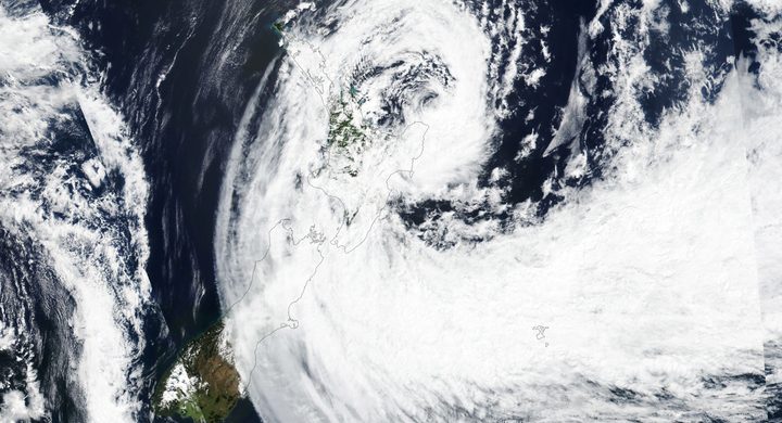
WMO’s regional report describes Winston passing south of Fiji as a Category 2 system and affecting Ono-i-Lau before moving toward Tonga.
The track turns west
The same regional account identifies a slowing and westward turn early on 18 February, reversing the earlier northeastward motion.
An observed approach
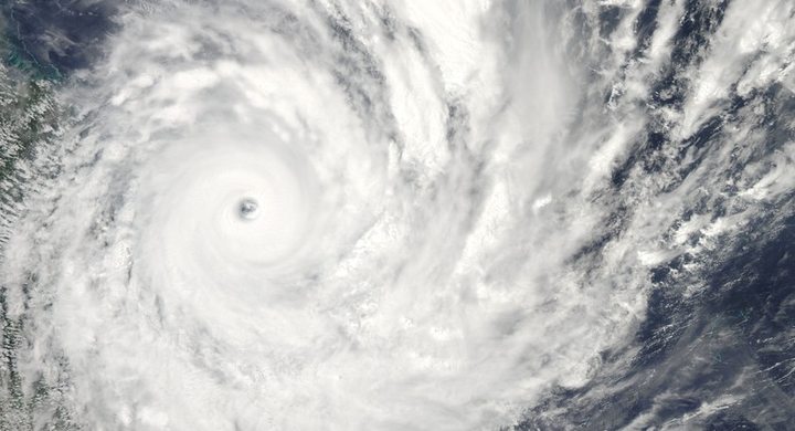
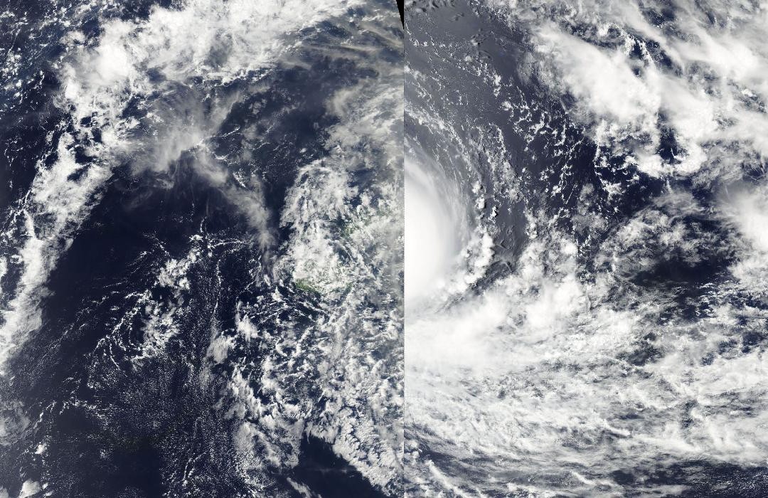
Suomi NPP VIIRS acquired a natural-color view at 01:15 UTC. NASA’s account was written during the approach and includes forecasts, which are kept separate here from the later landfall assessment.
Crossing northern Fiji
Winston crossed the northern Lau group at Category 5 intensity and reached northeastern Fiji later on 20 February, according to WMO’s regional review. It exited Fiji the following day.
Basis: World Meteorological Organization [1] · NASA Earth Observatory [2]
Selected observations & analyses
These entries preserve the source’s reported quantities or analyses. They are not a newly processed observational dataset.
| Evidence | Reported value or finding | Provenance |
|---|---|---|
| Reported wind at Vanua Balavu | 120 kt sustained; 160 kt momentary gust | WMO’s May 2017 regional report quotes these observation-center values for Winston’s 20 February passage. Its account does not state the sustained-wind averaging period. |
| Documented satellite view | 19 February 2016, 01:15 UTC | NASA’s Suomi NPP VIIRS acquisition before the principal Fiji crossing; a cloud observation, not direct measurement of surface wind. |
The atmospheric mechanism
The track of a cyclone is governed by the surrounding atmospheric flow and changes as that flow evolves. A storm that has passed one side of an island group can later threaten it from another direction. Winston’s sequence is therefore more informative than a single arrow pointing toward Fiji. The time attached to a forecast matters: a predicted future category in an approach article should never be silently substituted for the classification in a later official reconstruction.
Island terrain also separates the rain pattern from the center track. Moist flow rises along slopes, and valleys channel runoff toward the coast. A high daily total at an upland site can coexist with very different totals on nearby islands or sheltered sides of the same island. Wind, rainfall and coastal water levels require distinct observations, even though the same cyclone supplies their energy and moisture. A satellite overview connects the islands spatially but cannot replace those surface measurements.
Basis: World Meteorological Organization [1] · NASA Earth Observatory [2]
What the evidence does not establish
The regional Category 5 classification and the one-minute wind estimates in some international reports use different conventions; no numerical conversion is assumed here. The Vanua Balavu figures retain the values and terminology of the cited WMO account rather than claiming a standardized storm-wide maximum. The selected point and image do not map the full footprint of wind, rainfall or surge damage.
For a cyclone near islands, keep the changing track, observation date and measurement convention together before comparing one island’s exposure with another’s.
Sources & provenance
- Regional Association V Management Group, fifteenth session: Fiji cyclone account World Meteorological Organization · 2017-05-12, session dateReference only; original paraphrase; no source media reproduced.
- Cyclone Winston Threatens Fiji NASA Earth Observatory · 2016-02-20Reference only; original paraphrase; no source media reproduced.
Explanations and diagrams are original educational interpretations. Source institutions have not endorsed or reviewed this publication. How we distinguish evidence from models.