Follow the sequence
The deluge intensifies
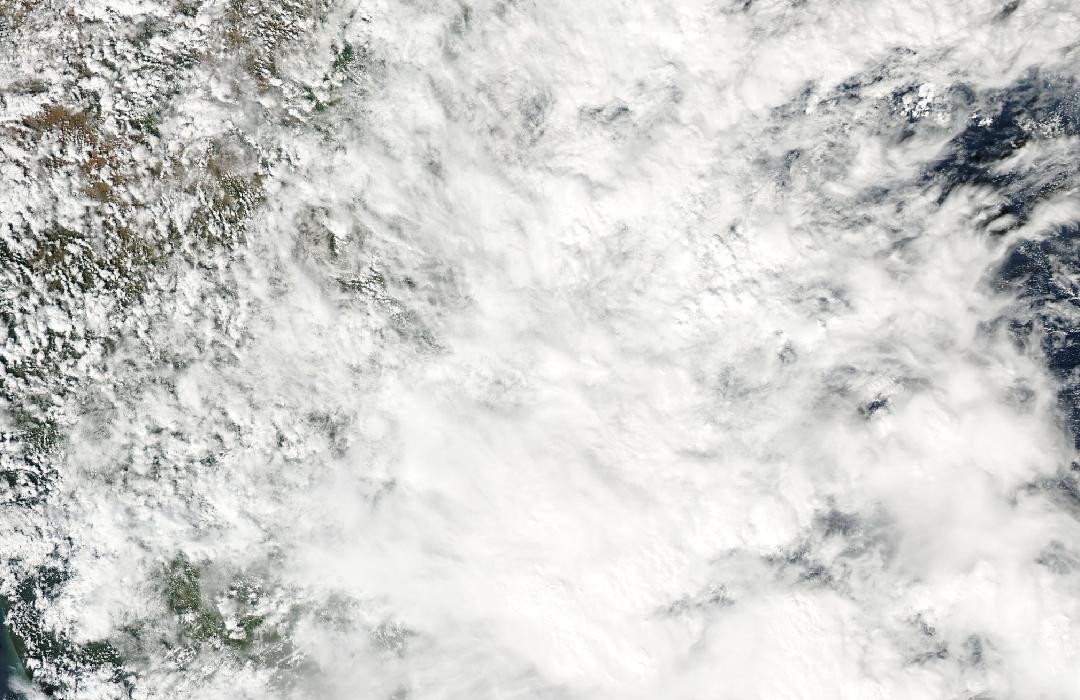
NASA’s event account identifies 1–2 December as the intense rainfall episode affecting Chennai and Tamil Nadu, associated with an offshore low-pressure system.
A two-day rain accumulation
The NASA IMERG analysis accumulates precipitation through 2 December in half-hour steps. Some regional totals approached 400 mm over the 48-hour product window.
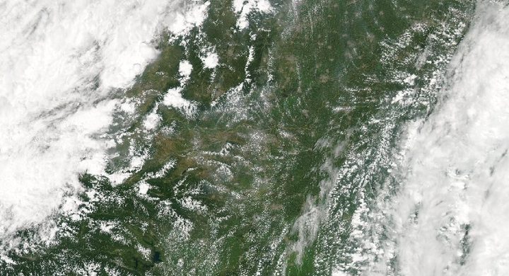
Flooding persists northwest of Chennai
Landsat 8 OLI observed continued inundation about 200 km northwest of Chennai. NASA compares this scene with 21 October; the image represents the wider regional aftermath rather than central Chennai.
Basis: NASA Earth Observatory [1] · NASA Earth Observatory [2]
Selected observations & analyses
These entries preserve the source’s reported quantities or analyses. They are not a newly processed observational dataset.
| Evidence | Reported value or finding | Provenance |
|---|---|---|
| Regional satellite rainfall estimate | Totals approaching 400 mm over 1–2 December | NASA IMERG product for southeastern India, accumulated over 48 hours; remotely sensed estimates on a grid, not a ground-gauge total for every part of Chennai. |
| Later optical observation | Landsat 8 OLI, 8 December 2015 | NASA’s Flooding Persists in Southeast India identifies false-color surface-water evidence approximately 200 km northwest of Chennai. |
The atmospheric mechanism
The northeast monsoon is not uniformly dry across India. Air travelling from the continent across the Bay of Bengal can acquire moisture before reaching the southeastern coast. The offshore low described in NASA’s account helped organize convergence and ascent, converting a sustained moisture supply into repeated rain. The direction of the wind is therefore only part of the explanation; its journey over land or sea and the lifting it encounters determine whether it can support a coastal deluge.
A wet preceding month changes the starting conditions for a new storm. Available soil and reservoir storage can be smaller, and a larger share of additional rain may become runoff. This is a general hydrological interpretation rather than a calculation of the contribution from any one reservoir. The event also shows why an accumulation animation and a later land image should be read together. One follows the atmosphere’s delivery of water; the other records where some of that water remained after clouds no longer blocked the view.
Basis: NASA Earth Observatory [1] · NASA Earth Observatory [2]
What the evidence does not establish
IMERG combines satellite measurements and retrieval algorithms; local gauge amounts may differ substantially from its grid estimates. The 48-hour product must not be relabelled as a one-day city measurement. The selected Landsat scene lies well away from central Chennai, and a false-color water signature does not provide depth, flow speed or the fraction caused by a particular reservoir release.
Follow the moisture path across the sea, retain the rainfall accumulation window, and check the location of every flood image before linking it to a city.
Sources & provenance
- Historic Rainfall Floods Southeast India NASA Earth Observatory · 2015-12-09Reference only; original paraphrase; no source media reproduced.
- Flooding Persists in Southeast India NASA Earth Observatory · 2015-12-11Reference only; original paraphrase; no source media reproduced.
Explanations and diagrams are original educational interpretations. Source institutions have not endorsed or reviewed this publication. How we distinguish evidence from models.