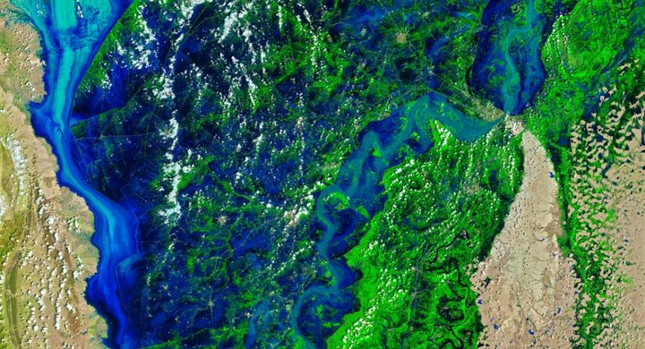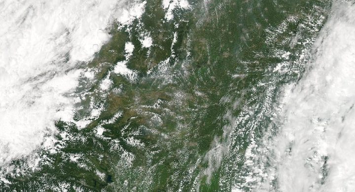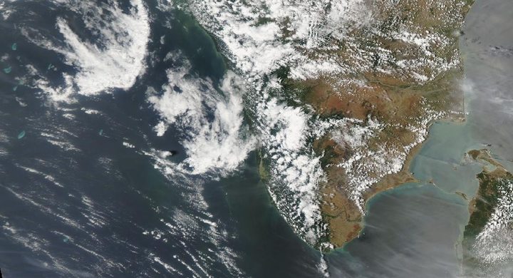
Follow the sequence
The regional system affects Oman
NASA’s event account identifies 14 April as the start of the system’s impacts in Oman before the heaviest UAE rainfall.
Exceptional rain in the UAE
The National Center of Meteorology reported exceptional accumulations, including 254.8 mm at Khatm al-Shakla near Al Ain in less than 24 hours, as relayed by WMO.
Floodwater remains after the storms
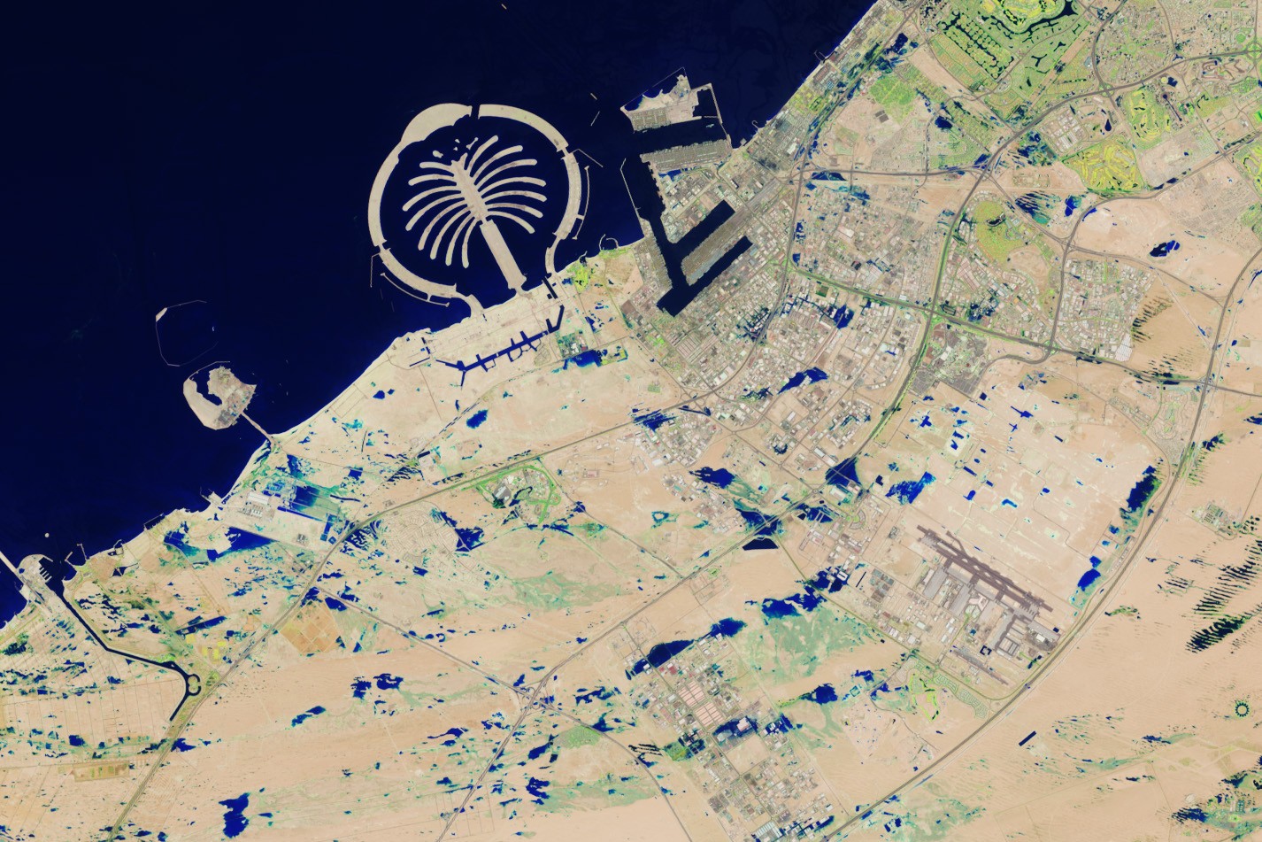
Landsat 9 OLI-2 observed pooling water around Jebel Ali and parts of Abu Dhabi. NASA compares these scenes with 3 April, before the storm sequence.
Basis: World Meteorological Organization, reporting UAE National Center of Meteorology [1] · NASA Earth Observatory [2]
Selected observations & analyses
These entries preserve the source’s reported quantities or analyses. They are not a newly processed observational dataset.
| Evidence | Reported value or finding | Provenance |
|---|---|---|
| Khatm al-Shakla rainfall | 254.8 mm in less than 24 hours | UAE National Center of Meteorology report for the 16 April 2024 event, quoted by WMO; a point accumulation near Al Ain, not a Dubai-wide total. |
| Documented inundation view | Landsat 9 OLI-2, 19 April 2024 | NASA false-color bands 6–5–3 highlight water around Jebel Ali and Abu Dhabi; acquisition follows the principal rainfall by three days. |
The atmospheric mechanism
Aridity describes the long-term balance of rainfall and evaporation, not an upper limit on the water a storm can deliver. If moist air converges and rises within an organized low-pressure system, a short episode can exceed what drainage and surface storage can accommodate. Multiple rounds of rain increase the accumulation even when the cloud system is moving, especially if successive cells repeatedly affect a similar area.
Surface response also depends on the path available to water. Roads, developed land, compacted surfaces and shallow depressions can concentrate runoff or retain it after rain ends. These general mechanisms help interpret the blue water signatures in the later Landsat rendering, but they do not measure the depth or duration of flooding at each road. A useful comparison pairs the station’s accumulation interval with the satellite’s acquisition date: one describes atmospheric input near Al Ain, while the other describes a later surface state at different coastal locations.
Basis: World Meteorological Organization, reporting UAE National Center of Meteorology [1] · NASA Earth Observatory [2]
What the evidence does not establish
The exact rainfall value belongs to Khatm al-Shakla, not to every city affected by the storm. “Less than 24 hours” is retained because the cited statement does not provide a start and end time. The false-color image is not natural-color water and cannot establish flow speed or damage. This case makes no causal claim about cloud seeding from the coincidence of rainfall and a satellite image.
An arid climate can still receive extreme short-duration rain; keep the rain-gauge location and the later flood-image location explicit when reading the event.
Sources & provenance
- Widespread parts of Asia and Africa reel under extreme weather World Meteorological Organization, reporting UAE National Center of Meteorology · 2024-04-26Reference only; original paraphrase; no source media reproduced.
- Deluge in the United Arab Emirates NASA Earth Observatory · 2024-04-20Reference only; original paraphrase; no source media reproduced.
Explanations and diagrams are original educational interpretations. Source institutions have not endorsed or reviewed this publication. How we distinguish evidence from models.