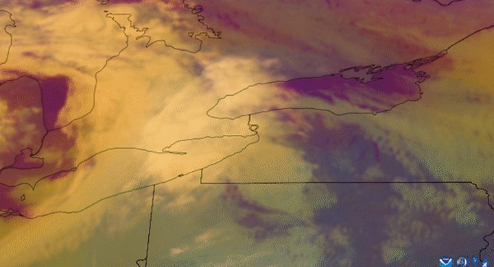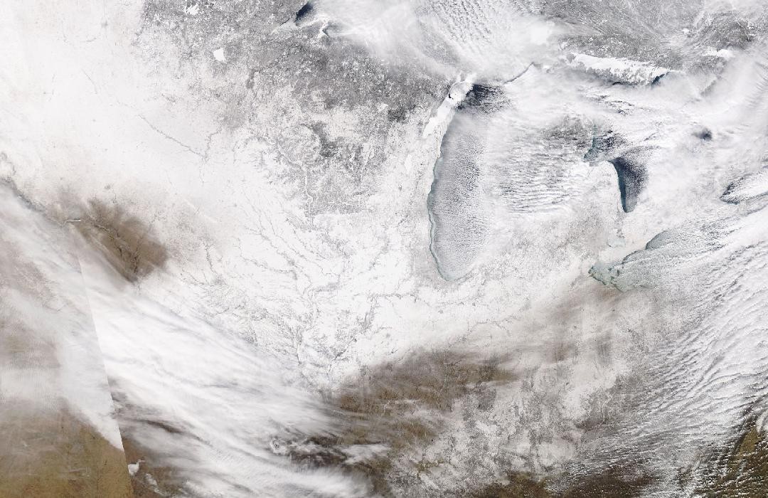
Follow the sequence
The cold air arrives
NWS Chicago’s January storm report places the arrival of extreme cold in northern Illinois during the evening of 29 January. Temperatures then continued falling through the overnight period.
Chicago reaches its event minimum
Chicago O’Hare measured −23°F on the morning of 30 January. Strong winds produced lower calculated wind-chill values, which describe a different quantity from the thermometer reading.
Rockford records an even colder morning
Rockford Airport reached −31°F on 31 January, setting its station record in the NWS account. The cold episode persisted into midday before the most extreme phase ended.
Basis: NOAA National Weather Service Chicago [1] · NOAA National Weather Service Chicago [2]
Selected observations & analyses
These entries preserve the source’s reported quantities or analyses. They are not a newly processed observational dataset.
| Evidence | Reported value or finding | Provenance |
|---|---|---|
| Chicago air temperature | −23°F (about −30.6°C) at O’Hare on 30 January | NWS Chicago event summary and airport observation listing; screened air temperature. |
| Rockford air temperature | −31°F (−35°C) at Rockford Airport on 31 January | NWS Chicago event summary, identified there as Rockford’s record minimum. |
| Calculated wind chill | −52°F at O’Hare at 06:51 CST on 30 January | NWS public information statement in the event account; computed from temperature and wind, not an additional thermometer observation. |
The atmospheric mechanism
Cold advection means the wind brings air with a lower temperature into the area. That transport can overwhelm the normal daytime warming cycle, so a calendar day’s maximum may occur near midnight rather than in the afternoon. Snow cover and overnight radiative cooling can further influence local minima, but their separate contributions require more observations than the selected station extremes alone provide.
Wind chill estimates the effect of wind and cold on heat loss from exposed skin under defined assumptions. It is not a prediction that an ordinary unheated object will cool to that numerical value. Wind can help such an object approach the actual air temperature faster. Keeping those two numbers in separate columns prevents a striking calculated value from replacing the underlying meteorological observation.
Basis: NOAA National Weather Service Chicago [1] · NOAA National Weather Service Chicago [2]
What the evidence does not establish
The NWS report notes that its compiled observations come from different equipment and exposures and that not all entries have the same official status. The selected airport readings are kept with their locations and dates. This case does not attribute the outbreak to a single stratospheric event or use one cold episode to infer a long-term temperature trend.
Keep temperature, wind and wind chill distinct, and check the observing site and reporting interval before comparing unusually low values.
Sources & provenance
- January 30–31, 2019: Record to Near-Record Cold in Northern Illinois NOAA National Weather Service Chicago · 2019 retrospectiveReference only; original paraphrase; no source media reproduced.
- Storm Data and Unusual Weather Phenomena: January 2019 NOAA National Weather Service Chicago · 2019Reference only; original paraphrase; no source media reproduced.
Explanations and diagrams are original educational interpretations. Source institutions have not endorsed or reviewed this publication. How we distinguish evidence from models.