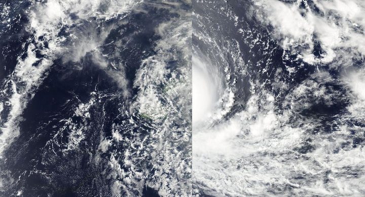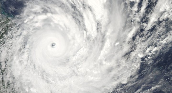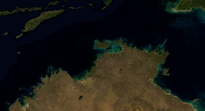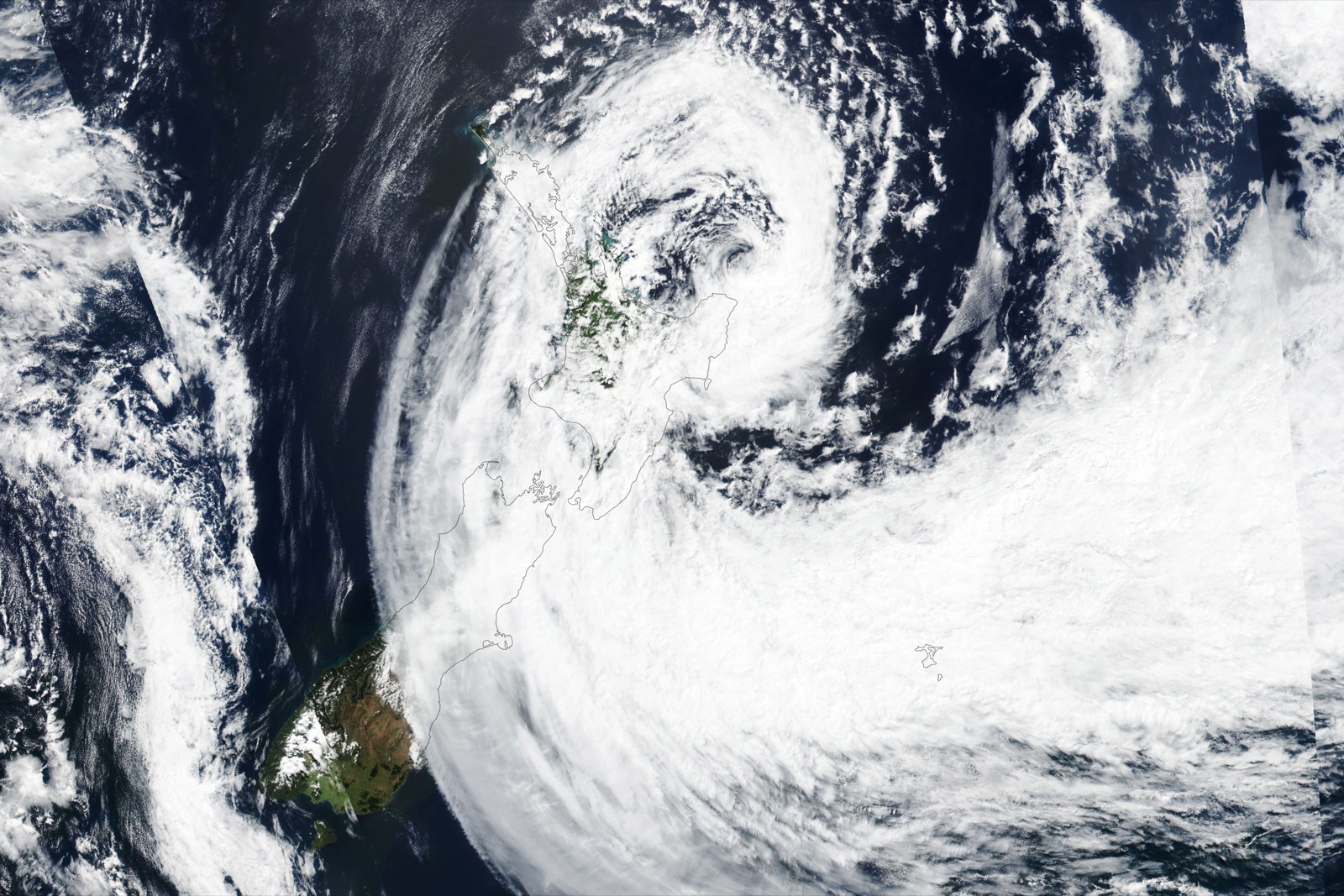
Follow the sequence
The expanded circulation approaches
Gabrielle passed near the northern North Island while its broad circulation exposed much of the island to strong winds and moisture transport.
Very low pressure is observed
NIWA’s Whitianga station recorded a minimum mean sea-level pressure of 968 hPa at 04:00 local time, as reported in the monthly climate summary.
Flood extent follows the rainfall
Hawke’s Bay Regional Council’s event mapping covers flooding across 13–15 February. The mapped footprint includes different water depths and is not itself a depth map.
Basis: NIWA National Climate Centre [1] · Hawke’s Bay Regional Council [2]
Selected observations & analyses
These entries preserve the source’s reported quantities or analyses. They are not a newly processed observational dataset.
| Evidence | Reported value or finding | Provenance |
|---|---|---|
| Whitianga pressure | 968 hPa, 14 February at 04:00 local time | NIWA climate summary; pressure reduced to mean sea level. |
| Event window near the island | 13–14 February | NIWA monthly report; main passage offshore of northern North Island. |
| Hawke’s Bay mapped flooding | Extent for 13–15 February | Regional Council post-event mapping; explicitly does not show depth. |
The atmospheric mechanism
NIWA explains that a former tropical cyclone can intensify again through interaction with the midlatitude atmosphere, including the jet stream and other disturbances. The zone of impacts can widen as the structure changes. An offshore center therefore does not imply the surrounding land lies outside the important wind or rain field.
Terrain changes where the incoming moist flow rises. In a schematic cross-section, rising air cools and may condense while descending air warms. For Gabrielle, however, the actual airflow, antecedent soil state and river systems all mattered. Compare the mountain lab’s controlled parcel with the documented storm footprint; the former explains a mechanism while the latter records outcomes that require much more complete physics and observations.
Basis: NIWA National Climate Centre [1] · Hawke’s Bay Regional Council [2]
What the evidence does not establish
Mean sea-level pressure is an adjusted meteorological quantity, not the raw pressure at every elevation. The Whitianga reading is a station observation rather than necessarily the storm’s exact central pressure. A flood-extent polygon cannot tell you whether a particular site had shallow surface water or deep river flooding. The chosen dates do not describe the full length of recovery or every later river response.
Read structural labels and hazard fields separately. “Ex-tropical” identifies how a circulation has changed; wind, rain and coastal observations establish what happened at a location.
Sources & provenance
- Aotearoa New Zealand Climate Summary: February 2023 NIWA National Climate Centre · 2023-03-03Reference only; original paraphrase; no source media reproduced.
- Cyclone Gabrielle flooding: mapped extent Hawke’s Bay Regional Council · Publication date not statedReference only; original paraphrase; no source media reproduced.
Explanations and diagrams are original educational interpretations. Source institutions have not endorsed or reviewed this publication. How we distinguish evidence from models.