Follow the sequence
Cold easterlies arrive
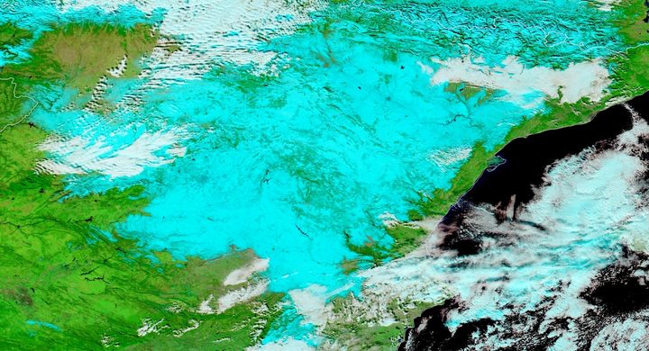
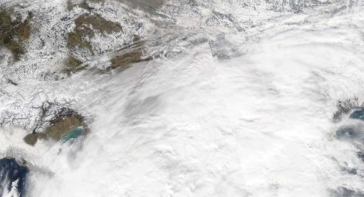
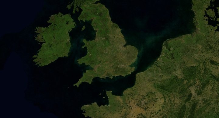
Met Éireann identifies 27 February–4 March as the period of severe cold and widespread snowfall; the low-level air was already cold before the main storm interaction.
Snow spreads
Widespread snowfall and temperatures struggling to exceed freezing affected the country. Local totals and drifting differed with exposure.
The episode ends
Met Éireann’s case window closes on 4 March. This is the end of the selected meteorological episode, not a claim that snow disappeared from every location.
Basis: Met Éireann [1] · Met Office presentation hosted by ECMWF [2]
Selected observations & analyses
These entries preserve the source’s reported quantities or analyses. They are not a newly processed observational dataset.
| Evidence | Reported value or finding | Provenance |
|---|---|---|
| Wind regime | Bitterly cold easterly flow | Met Éireann retrospective account of the late-February cold spell. |
| Surface condition | Widespread snowfall with near/below-freezing conditions | Met Éireann event description; qualitative regional observation, no invented station series. |
| Earlier circulation disruption | Sudden stratospheric warming on 12 February | Met Éireann analysis connects the stratospheric event to later hemispheric circulation changes. |
The atmospheric mechanism
A precipitation event is shaped by the atmosphere into which it arrives. Moisture and ascent associated with Emma encountered an established cold air mass. Snow reaching the ground depends on the temperature and humidity through the falling particle’s path, not simply on whether a low-pressure center has a particular name. A shallow warm layer can alter the outcome even when the surface stays cold.
The earlier stratospheric warming belongs to a longer chain of circulation changes. It did not send a parcel of hot stratospheric air down to make Irish snow. The useful distinction is between a possible influence on large-scale weather patterns and the immediate processes producing local precipitation. Use the vertical-profile lab to change a warm layer while holding the surface temperature fixed; the exercise isolates a sensitivity, without reproducing Emma’s soundings.
Basis: Met Éireann [1] · Met Office presentation hosted by ECMWF [2]
What the evidence does not establish
The selected source is a retrospective summary, not a complete station archive. No local snow-depth values are inferred from photographs or from the word “widespread.” Wind redistribution makes snow depth especially variable. The presence of a stratospheric warming does not guarantee severe cold in Ireland after every such event, and this sequence is not a seasonal forecast rule.
Begin with the air mass already present. Then inspect the arriving moisture and the whole temperature profile before deciding whether precipitation is likely to remain snow.
Sources & provenance
- Storm Emma: analysis of the February–March 2018 cold spell Met Éireann · Retrospective summary, report linked in 2019Reference only; original paraphrase; no source media reproduced.
- Forecasting the Beast from the East and Storm Emma Met Office presentation hosted by ECMWF · 2018Reference only; original paraphrase; no source media reproduced.
Explanations and diagrams are original educational interpretations. Source institutions have not endorsed or reviewed this publication. How we distinguish evidence from models.