Follow the sequence
The first rain wets the foothills
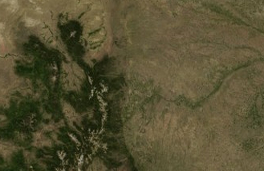
Colorado State University’s reconstruction describes afternoon convection and intense rain concentrated near the foothills. Much of the city farther east received substantially less, so the starting condition was already spatially uneven.
Further rain precedes the evening flood
Additional morning rain contributed to the wet antecedent conditions documented in the CSU analysis. The combined rainfall pattern was built by multiple episodes, rather than by one unchanging cell lasting through the whole period.
An evening storm concentrates runoff
An intense, slow-moving storm produced heavy evening rain over western Fort Collins. Water collected through tributaries and drainage structures, and the destructive flooding along Spring Creek occurred downstream of the heaviest rainfall.
Daily records capture the accumulated event
The official station record for 28–29 July combines rainfall across its observation window. The following date on that total does not mean that its maximum rain rate occurred on the morning of the 29th.
Basis: Colorado Climate Center, Colorado State University [1] · NOAA National Weather Service [2] · Colorado Climate Center, Colorado State University; Nolan J. Doesken and Thomas B. McKee [3]
Selected observations & analyses
These entries preserve the source’s reported quantities or analyses. They are not a newly processed observational dataset.
| Evidence | Reported value or finding | Provenance |
|---|---|---|
| Official campus storm total | 6.17 inches / about 157 mm for 28–29 July | Colorado Climate Center station analysis and NOAA Storm Data; the specified two-day observation window differs from shorter evening rain-rate estimates. |
| Strong spatial contrast | 2.18 inches / about 55 mm four miles east of the city | NOAA Storm Data, July 1997; a separate reported location in the same episode, demonstrating that the campus total was not representative everywhere. |
| Combined local maximum | 14.5 inches / about 368 mm in southwest Fort Collins | CSU rainfall reconstruction for 16:00 MDT on 27 July through 23:00 MDT on 28 July; includes several episodes and is not a single-hour gauge rate. |
The atmospheric mechanism
Runoff responds to both the immediate rain and what preceded it. Earlier rain reduces available storage in soils and depressions. When intense rain then persists over a small catchment, water can enter drainage channels faster than those channels can convey it. The place where runoff converges may therefore flood after the hardest rain has weakened there, or even where the local rain was less extreme.
Terrain helped organize the rainfall pattern, while the built drainage network shaped the water’s route through the city. Those are connected but different processes. A map of rain totals explains atmospheric delivery; a flood map requires catchment boundaries, channel capacity and structures as well. The rising-air lab illustrates saturation during lifting, but it contains neither a rainfall-production calculation nor a hydrological model of Spring Creek.
Basis: Colorado Climate Center, Colorado State University [1] · NOAA National Weather Service [2] · Colorado Climate Center, Colorado State University; Nolan J. Doesken and Thomas B. McKee [3]
What the evidence does not establish
The three rainfall figures use different locations or accumulation periods and must not be ranked as if they were competing measurements of one quantity. Survey reconstructions can combine gauges with other evidence. A recurrence interval, where quoted in flood studies, is a statistical estimate with uncertainty rather than a promise of a flood-free waiting period.
Align rain-gauge location and observation window with the drainage basin before connecting a precipitation total to the timing and severity of flooding.
Sources & provenance
- An Analysis of Rainfall for the July 28, 1997 Flood in Fort Collins, Colorado Colorado Climate Center, Colorado State University · Publication date not statedReference only; original paraphrase; no source media reproduced.
- Storm Data: July 1997, outstanding storms of the month NOAA National Weather Service · 1997-07 reporting periodReference only; original paraphrase; no source media reproduced.
- An Analysis of Rainfall for the July 28, 1997 Flood in Fort Collins, Colorado — Climatology Report 98-1 Colorado Climate Center, Colorado State University; Nolan J. Doesken and Thomas B. McKee · 1998Reference only; original paraphrase; no source media reproduced.
Explanations and diagrams are original educational interpretations. Source institutions have not endorsed or reviewed this publication. How we distinguish evidence from models.