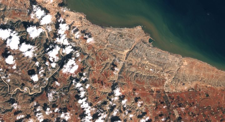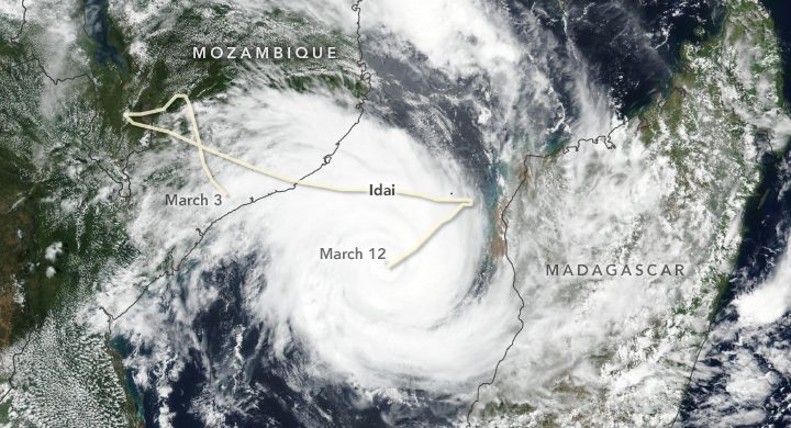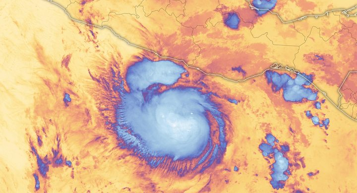
Follow the sequence
Madagascar landfall
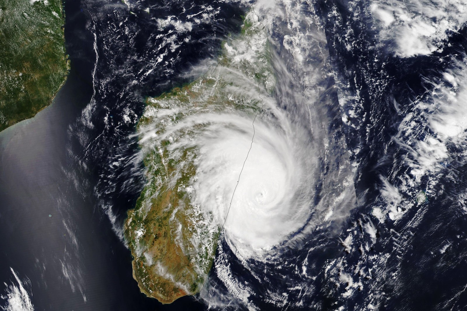
Freddy reached eastern Madagascar near Mananjary in the evening. NOAA-20 VIIRS observed it just offshore at 10:50 UTC, providing a dated cloud view before the crossing.
First Mozambique landfall
WMO’s event account places Freddy’s first Mozambique landfall on this date. The circulation later returned to the Mozambique Channel rather than simply disappearing inland.
Back over the channel
WMO’s 2023 climate-event supplement identifies 1 March as the return to the channel, where the system subsequently regained cyclone strength.
Second Mozambique landfall
Freddy came ashore again near Quelimane. NASA documents the renewed cyclone and subsequent flooding in Mozambique and Malawi; the event window extends through the system’s final March phase.
Basis: World Meteorological Organization [1] · World Meteorological Organization [2] · NASA Earth Observatory [3] · NASA Earth Science Division [4]
Selected observations & analyses
These entries preserve the source’s reported quantities or analyses. They are not a newly processed observational dataset.
| Evidence | Reported value or finding | Provenance |
|---|---|---|
| Verified duration record | 36.0 days at tropical-storm status or higher | WMO international evaluation published 2 July 2024; weaker intervals are excluded, so this is not simply elapsed time between the first and last track dates. |
| Pre-landfall satellite acquisition | 21 February 2023, 10:50 UTC | NOAA-20 VIIRS observation identified by NASA Earth Observatory; it shows cloud structure east of Madagascar, not later inland rainfall totals. |
The atmospheric mechanism
A cyclone’s remnant circulation can survive land passage even when its peak winds fall below the threshold used to name a tropical storm. If that organized disturbance returns over warm water with favorable shear, convection can rebuild around it. Freddy’s repeated crossings therefore require a continuous track and intensity history. Treating each weakening as the end of all hazards would fragment one evolving event and obscure the later return of moisture and organized rain.
Rainfall severity also depends on where the circulation lingers and how the terrain redirects its flow. Moist air rising over inland slopes can sustain condensation while runoff gathers in steep channels. Repeated rain leaves less storage available in soils and rivers for the next burst. These general mechanisms explain why the inland phase demands its own observations rather than an inference from the storm’s earlier oceanic category. They do not assign a fixed share of the flooding to terrain, antecedent wetness or any particular hour of rain.
Basis: World Meteorological Organization [1] · World Meteorological Organization [2] · NASA Earth Observatory [3] · NASA Earth Science Division [4]
What the evidence does not establish
The duration record is a retrospective classification under a stated threshold, not evidence that Freddy maintained its maximum strength for five weeks. Contemporary landfall wind reports differed in averaging conventions and certainty; this case avoids combining them into a spurious single scale. Satellite clouds, precipitation estimates and measured river levels remain separate forms of evidence.
Follow the surviving circulation and renewed moisture supply through weakening and reintensification; a familiar storm name can return with a different dominant hazard.
Sources & provenance
- Tropical Cyclone Freddy is the longest tropical cyclone on record at 36 days World Meteorological Organization · 2024-07-02Reference only; original paraphrase; no source media reproduced.
- Provisional State of the Global Climate 2023: extreme-event supplement World Meteorological Organization · 2023-12Reference only; original paraphrase; no source media reproduced.
- Cyclone Freddy Hits Madagascar NASA Earth Observatory · 2023-02-22Reference only; original paraphrase; no source media reproduced.
- NASA Tracks Freddy, Longest-lived Tropical Cyclone on Record NASA Earth Science Division · 2023-03-17Reference only; original paraphrase; no source media reproduced.
Explanations and diagrams are original educational interpretations. Source institutions have not endorsed or reviewed this publication. How we distinguish evidence from models.