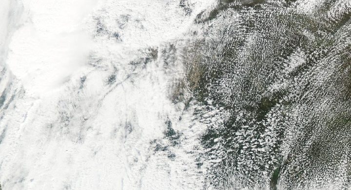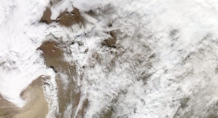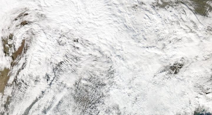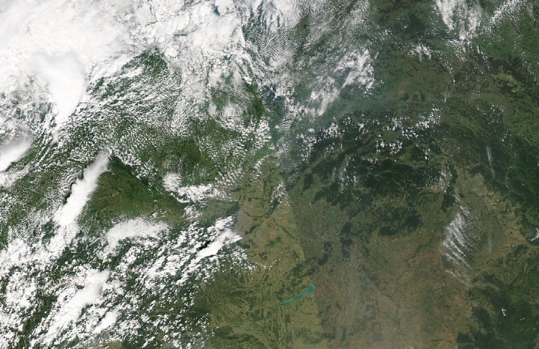
Follow the sequence
A satellite scene supplies a baseline
The later peer-reviewed investigation used a Sentinel-2 scene from 19 June as a pre-event vegetation reference. This date begins the evidence window, not the tornado or a claim of continuous severe weather.
The tornado crosses southern Moravia
The joint survey places formation near Břeclav around 17:14 UTC and dissipation near Ratíškovice at 17:53 UTC. Several communities lay along the roughly northeastward path.
Survey coordination begins the next morning
The subsequent research paper describes coordination among the Czech Hydrometeorological Institute, ESSL and other investigators on the morning after the event. The task was to preserve and interpret evidence distributed across the damaged area.
A second satellite scene reveals changes
Sentinel-2 imagery from 29 June supplied the post-event comparison used in the investigation. Changes in vegetation helped map damage between locations where buildings or readily accessible roads supplied ground evidence.
Basis: European Severe Storms Laboratory with the Czech Hydrometeorological Institute and partners [1] · European Severe Storms Laboratory, Czech Hydrometeorological Institute and collaborating researchers; Weather, Climate, and Society [2]
Selected observations & analyses
These entries preserve the source’s reported quantities or analyses. They are not a newly processed observational dataset.
| Evidence | Reported value or finding | Provenance |
|---|---|---|
| Assessed path length | 27.1 km over approximately 39 minutes | Joint ESSL and partner survey report, published 23 June 2022; path and duration reconstructed from multiple observations. |
| Maximum intensity classification | IF4 | European Severe Storms Laboratory joint report using the International Fujita framework; this label should not be silently substituted for the U.S. Enhanced Fujita scale. |
| Satellite comparison dates | 19 June and 29 June 2021 | 2024 peer-reviewed study by CHMI, ESSL and collaborating researchers; pre-event and post-event Sentinel-2 vegetation comparisons, not images of the active tornado. |
The atmospheric mechanism
The same broad ingredients that support rotating thunderstorms elsewhere can occur in central Europe: moist inflow, buoyancy and a suitable vertical wind profile. However, a regional environment does not determine the precise route of a near-surface vortex. That route must be established from the event’s observations, including the timing and orientation of damage.
A damaged tree or roof is both a clue and a measurement problem. Failure depends on its strength, anchoring and exposure, while debris can add secondary damage. Dense aerial coverage helps connect gaps between ground inspections, and satellite changes can reveal affected vegetation over larger areas. Investigators must still decide which changes belong to the tornado and which might reflect adjacent downdraft winds or unrelated differences between image dates.
Basis: European Severe Storms Laboratory with the Czech Hydrometeorological Institute and partners [1] · European Severe Storms Laboratory, Czech Hydrometeorological Institute and collaborating researchers; Weather, Climate, and Society [2]
What the evidence does not establish
Published width estimates have evolved with further analysis, so this case emphasizes the consistently reported path length and makes the survey version explicit. Satellite differences include an interval of ten days and do not alone prove tornado damage at every changed pixel. The evidence window includes baseline and aftermath observations; the tornado itself occurred on 24 June.
Use complementary observations to fill each other’s gaps, and preserve the rating framework and survey version when comparing tornadoes across countries.
Sources & provenance
- Report published on the joint damage survey of the tornado in Southeast Czechia on 24 June 2021 European Severe Storms Laboratory with the Czech Hydrometeorological Institute and partners · 2022-06-23Reference only; original paraphrase; no source media reproduced.
- The Violent Tornado on 24 June 2021 in Czechia: Damage Survey, Societal Impacts, and Lessons Learned European Severe Storms Laboratory, Czech Hydrometeorological Institute and collaborating researchers; Weather, Climate, and Society · 2024Reference only; original paraphrase; no source media reproduced.
Explanations and diagrams are original educational interpretations. Source institutions have not endorsed or reviewed this publication. How we distinguish evidence from models.