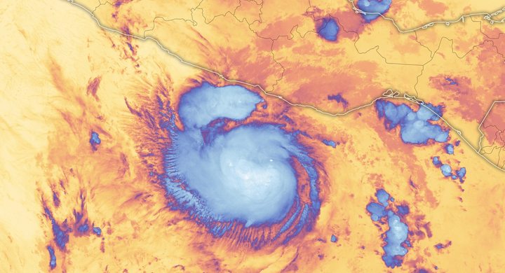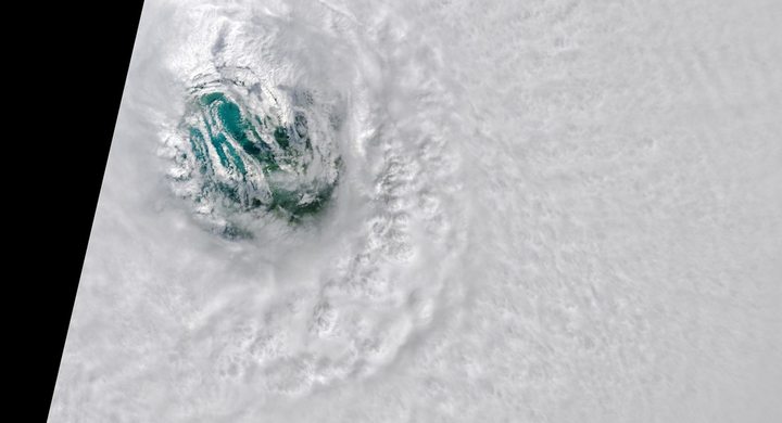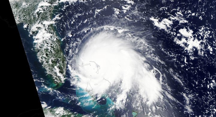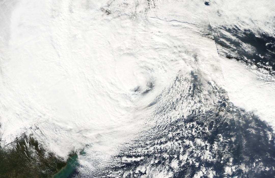
Follow the sequence
Jamaica landfall
NHC’s reconstruction places Sandy’s center near Bull Bay, Jamaica, at about 19:00 UTC with estimated maximum sustained winds of 75 knots.
Cuba and a growing circulation
Sandy crossed eastern Cuba at 05:25 UTC with an estimated intensity of 100 knots. Its wind field subsequently broadened as the storm moved through the Bahamas.
Transition and New Jersey landfall
The final analysis classifies Sandy as extratropical by 21:00 UTC and places landfall near Brigantine at about 23:30 UTC, with estimated 70-knot winds.
Center becomes indistinct inland
NHC reports that the circulation center became poorly defined over northeastern Ohio after 12:00 UTC, while the remnants continued toward Canada.
Basis: NOAA National Hurricane Center [1] · NOAA National Hurricane Center [2]
Selected observations & analyses
These entries preserve the source’s reported quantities or analyses. They are not a newly processed observational dataset.
| Evidence | Reported value or finding | Provenance |
|---|---|---|
| New Jersey landfall analysis | 70 kt; 945 hPa | NHC final best-track estimate at about 23:30 UTC, 29 October 2012; the system was already extratropical. |
| Measured strong wind on Long Island Sound | 65 kt, one-minute mean | Great Gull Island observation at 20:35 UTC on 29 October, at 18 m elevation, reported in the NHC assessment; not a standard-height value everywhere. |
The atmospheric mechanism
A tropical cyclone draws much of its energy from heat and moisture supplied by warm water and organized condensation. A midlatitude cyclone also develops through horizontal temperature contrasts. Transition can change the arrangement of clouds, fronts and winds without ending dangerous weather. Sandy demonstrates why a change in meteorological classification needs an explanation of structure: post-tropical describes the kind of system, not a promise that wind or water hazards have become small.
NHC identifies an unusual North Atlantic blocking pattern that prevented the expected escape toward the open ocean and helped direct Sandy toward the coast. Meanwhile, its large circulation forced water toward New Jersey and New York over a broad area. The useful conceptual comparison is between the track of the center and the reach of the circulation. A person can be far from the center yet remain under sustained onshore winds. A track line alone contains neither wind-field size nor the shape of the receiving coastline.
Basis: NOAA National Hurricane Center [1] · NOAA National Hurricane Center [2]
What the evidence does not establish
The operational landfall update and the final report differ slightly in time, location and pressure; the timeline here uses the post-event reconstruction. The Great Gull Island measurement has a stated height and averaging period and should not be treated as interchangeable with an estimated storm maximum. Neither the category nor the word extratropical specifies flood depth at an address.
When a cyclone changes type, follow its wind field, fronts and coastal water effects instead of treating the new label as the end of the event.
Sources & provenance
- Tropical Cyclone Report: Hurricane Sandy NOAA National Hurricane Center · 2013-02-12Reference only; original paraphrase; no source media reproduced.
- Post-Tropical Cyclone Sandy landfall update NOAA National Hurricane Center · 2012-10-29, 20:00 EDT operational updateReference only; original paraphrase; no source media reproduced.
Explanations and diagrams are original educational interpretations. Source institutions have not endorsed or reviewed this publication. How we distinguish evidence from models.