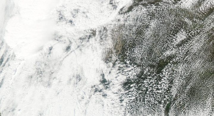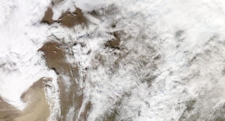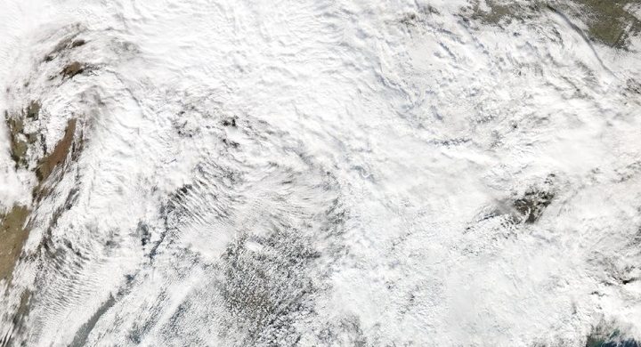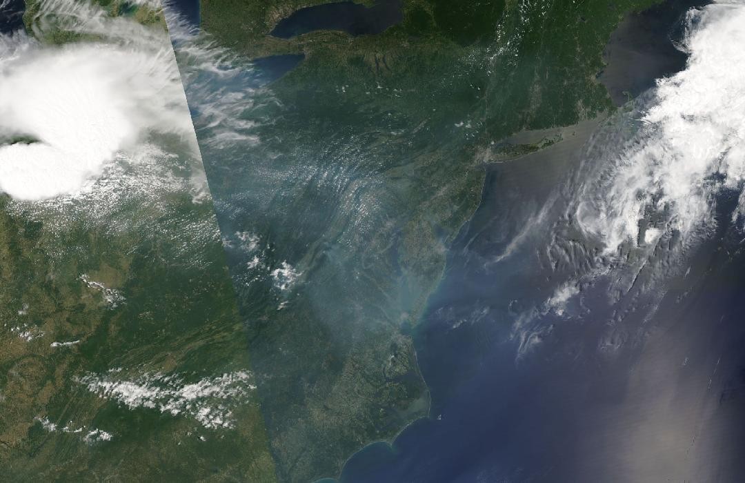
Follow the sequence
A corridor of unstable air supports development
The NWS Cleveland retrospective places the event along the northern edge of a broad heat wave and near an east–west boundary. Warm, moist low-level air lay beneath a steep temperature decrease through part of the atmosphere.
The line races east
By afternoon and evening, the organized thunderstorms crossed the Ohio Valley and approached the Mid-Atlantic. NWS Wakefield describes motion close to 60 mph, so storm evolution and arrival time both mattered for locations downstream.
The system reaches the coast after midnight
The Wakefield account places passage through its area between late evening and shortly after midnight. The midnight boundary changes the calendar date, not the physical continuity of the convective system.
Basis: NOAA National Weather Service, Cleveland [1] · NOAA National Weather Service, Wakefield [2] · NOAA National Weather Service, Mount Holly [3]
Selected observations & analyses
These entries preserve the source’s reported quantities or analyses. They are not a newly processed observational dataset.
| Evidence | Reported value or finding | Provenance |
|---|---|---|
| Approximate system travel | More than 700 miles / about 1,100 km | NWS Mount Holly retrospective; regional progression of the derecho, not a single measured wind trajectory. |
| Regional reported gust range | 60–80 mph / about 97–129 km/h | NWS Wakefield account for central and eastern Virginia toward the lower Eastern Shore; a range of local reports, not a uniform swath-wide wind speed. |
The atmospheric mechanism
The large-scale heat pattern helped define a reservoir of unstable air. An elevated mixed layer is a layer aloft in which temperature decreases relatively rapidly with height; above moist surface air it can contribute to substantial buoyancy once lifting overcomes inhibition. A boundary and the evolving thunderstorm outflow can provide that lifting. Heat alone is therefore an incomplete explanation: the vertical structure and organized forcing determine how the available energy is used.
A mature convective system travels partly through the motion of existing cells and partly through the formation of new cells along its leading edge. Its cold pool spreads into warmer air and can sustain that renewal. This distinction prevents a misleading picture of one unchanged thunderstorm being pushed intact across several states. The storms lab can illustrate how changing environmental cooling alters potential buoyancy, but it does not calculate cold-pool propagation or the observed 60 mph system speed.
Basis: NOAA National Weather Service, Cleveland [1] · NOAA National Weather Service, Wakefield [2] · NOAA National Weather Service, Mount Holly [3]
What the evidence does not establish
The term derecho describes a widespread, sustained convective wind event assessed over its full path. A local radar frame alone cannot establish the complete swath. Reported casualties, outage totals and damage estimates changed during the aftermath; they are not used here as meteorological measurements or as a proxy for the peak gust.
Trace the air mass ahead of the line as carefully as the line itself, and separate storm-system motion from the wind felt at the ground.
Sources & provenance
- June 29, 2012 Derecho — 10 Years Later NOAA National Weather Service, Cleveland · 2022 anniversary retrospectiveReference only; original paraphrase; no source media reproduced.
- June 29, 2012 Derecho Event Review NOAA National Weather Service, Wakefield · Publication date not statedReference only; original paraphrase; no source media reproduced.
- June 29th–30th, 2012 Derecho NOAA National Weather Service, Mount Holly · Publication date not statedReference only; original paraphrase; no source media reproduced.
Explanations and diagrams are original educational interpretations. Source institutions have not endorsed or reviewed this publication. How we distinguish evidence from models.